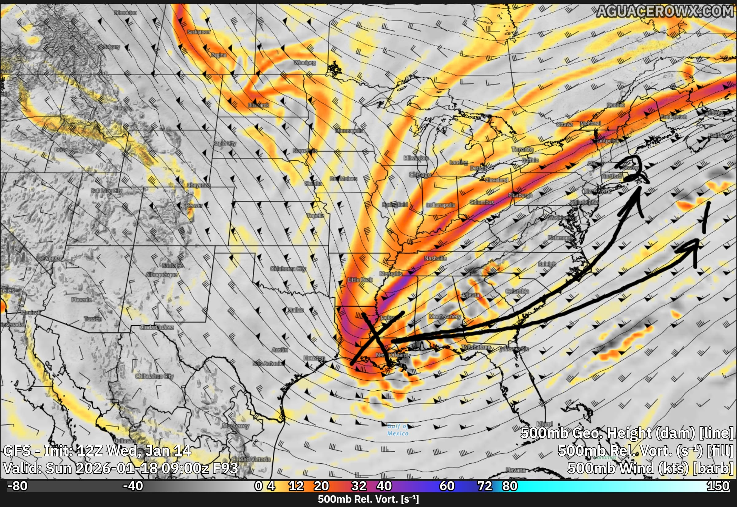

We are gearing up to be in a fairly hostile pattern with many pieces of energy to play with here over the next 2 weeks as a large long wave trough sits over the eastern US. The biggest issue right now is do they interact with each other or will they remain strung out wasting the potential for snow lovers out there.
While the overall risk of impactful wintry weather remains low heading into early next week, colder temperatures mean even small changes in the forecast could introduce a chance for snow.


A brief warm up to near seasonal levels is expected Saturday ahead of a passing cold front. Behind it, a colder pattern looks likely to settle back in and persist through at least the middle of next week, with temperatures running below normal. During this time, several weak disturbances are forecast to move through the region. While none of these systems appear particularly strong on their own, there is a possibility they could interact in a way that brings a wintry weather threat late Sunday into Monday.


At this time, the most likely outcome would be flurries or light snow, with limited or no accumulation. However, if the shortwave has more of a interaction with the Jetstream, that can bring larger impacts. Forecast confidence remains low, with precipitation chances generally in the 20 to 30 percent range.
Given the cold air in place, this period will need to be monitored closely for any changes that could increase the wintry weather threat. For now, the risk of a significant winter storm from Sunday into early next week remains low, but not zero.