
Residents across portions of the Mid-Atlantic should prepare for a potentially active afternoon and evening as a strengthening storm system brings the threat of severe thunderstorms and localized flash flooding to the region.

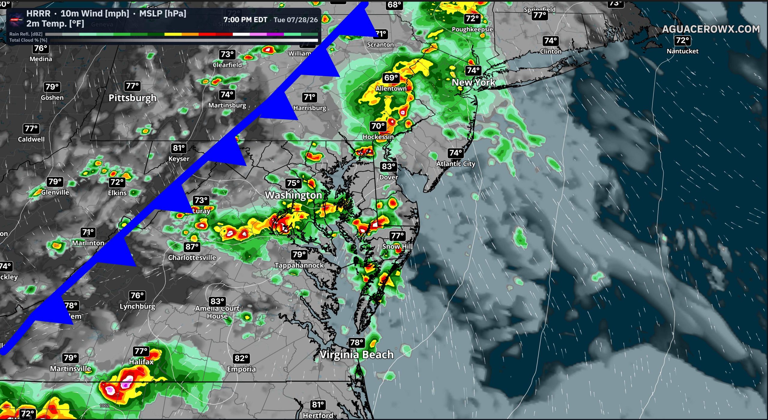
A cold front advancing toward the East Coast will interact with a warm, moisture-rich air mass already in place across the Mid-Atlantic. While a band of showers and thunderstorms moved through the Appalachian region during the morning hours, the evolution of those early-day storms will play a critical role in determining where the most significant severe weather develops later today.

Areas that experience prolonged cloud cover and rainfall this morning may see a more limited severe weather threat this afternoon. However, where skies are able to clear and temperatures recover, atmospheric instability is expected to increase rapidly, allowing thunderstorms to redevelop and intensify along and ahead of the approaching cold front.

The atmosphere will also be supported by strengthening winds several miles above the surface as an upper-level trough deepens across the eastern United States. The combination of increasing instability and strong wind shear will provide a favorable environment for organized severe thunderstorms, including supercells and bowing line segments capable of producing widespread damaging winds.
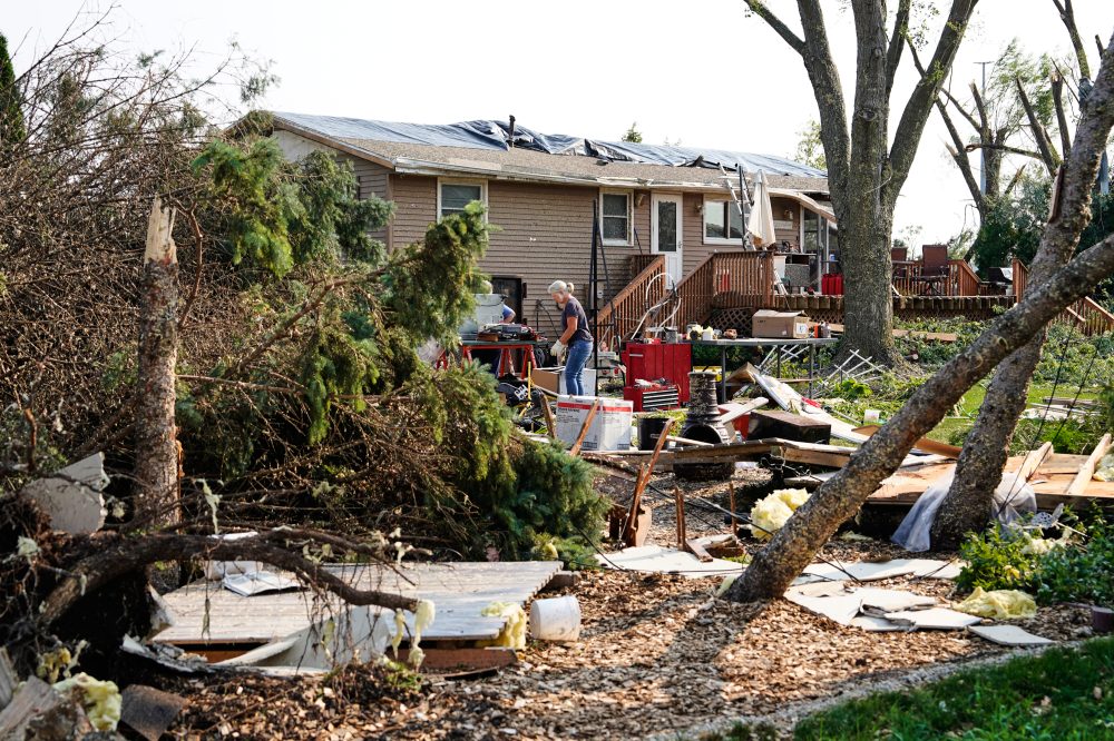
The greatest concern across the Mid-Atlantic will be damaging straight-line winds, which could result in downed trees, power outages, and structural damage. Forecasters also cannot rule out isolated tornadoes, particularly with any storms that remain discrete before evolving into larger clusters. Frequent lightning, torrential rainfall, and isolated hail will accompany the strongest thunderstorms.

Alongside the severe weather threat, forecasters are also monitoring the potential for localized flash flooding. An abundance of tropical moisture will allow thunderstorms to produce very heavy rainfall in a short period of time, with rainfall rates capable of overwhelming drainage systems, particularly in urban and low-lying areas.
The highest flash flood threat extends from eastern Pennsylvania into northern New Jersey and the New York City metropolitan area, where repeated rounds of thunderstorms could result in significant rainfall totals. A broader Slight Risk for excessive rainfall also includes much of New Jersey, eastern Maryland, Delaware, and portions of the Delmarva Peninsula, where localized flooding remains possible if thunderstorms repeatedly track over the same locations.

While widespread flooding is not anticipated, any thunderstorm will have the potential to produce rainfall intense enough to create hazardous travel conditions. Roads with poor drainage, small streams, and flood-prone locations will be most vulnerable during the heaviest downpours.
The severe weather threat is expected to increase during the mid to late afternoon before continuing into the evening hours as thunderstorms race eastward toward the Interstate 95 corridor, the Chesapeake Bay, Delmarva, and the Atlantic coast.
Residents are encouraged to closely monitor forecasts throughout the day and have multiple ways to receive weather warnings. Conditions can change rapidly, and both Severe Thunderstorm Warnings and Flash Flood Warnings may be issued with little advance notice as storms develop.