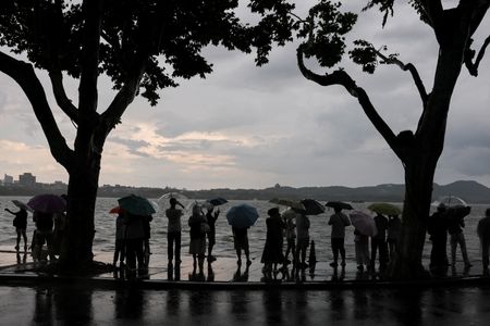

Chinese authorities are sounding the alarm over dangerous flooding conditions as Tropical Storm Noul draws closer to the country’s southern coast, where it is expected to grow stronger over the coming days.
As of Friday morning, Noul was located northeast of Manila, the capital of the Philippines, moving in a west-northwest direction at roughly 25 to 30 kilometers per hour (16 to 19 mph). According to Hong Kong’s weather observatory, the storm is projected to come within 800 kilometers of the city by later Friday.
Coastal areas in southern China are expected to see winds picking up gradually, with heavy, gusty rain showers becoming more intense through Saturday.
Weather forecasters on the Chinese mainland expect Noul to come ashore somewhere along the southern coast between Zhuhai in Guangdong province and Zhangpu in Fujian province, with landfall anticipated between Saturday night and early Sunday morning. The storm is then expected to move inland and gradually lose strength.
Meteorologists warn that localized rainfall totals in eastern Guangdong and southern Fujian could pile up to between 500 and 600 millimeters — roughly 20 to 24 inches — in some areas. Both Guangdong and Fujian rank among China’s rainiest provinces, each typically receiving around 2,000 millimeters of rainfall annually.
Noul’s arrival comes on the heels of already devastating rainfall across much of China. In the southwestern Chongqing municipality, rescue teams are still searching for more than 50 people who went missing after a deadly landslide struck the area.
China is currently in the heart of its most critical flood management period — known as Qixia Bashang — which runs from mid-July through mid-August. Weather experts are cautioning that extreme rainfall events will become more frequent and more intense in the weeks ahead, with large portions of northern China expected to see 20% to 50% more rain than normal.