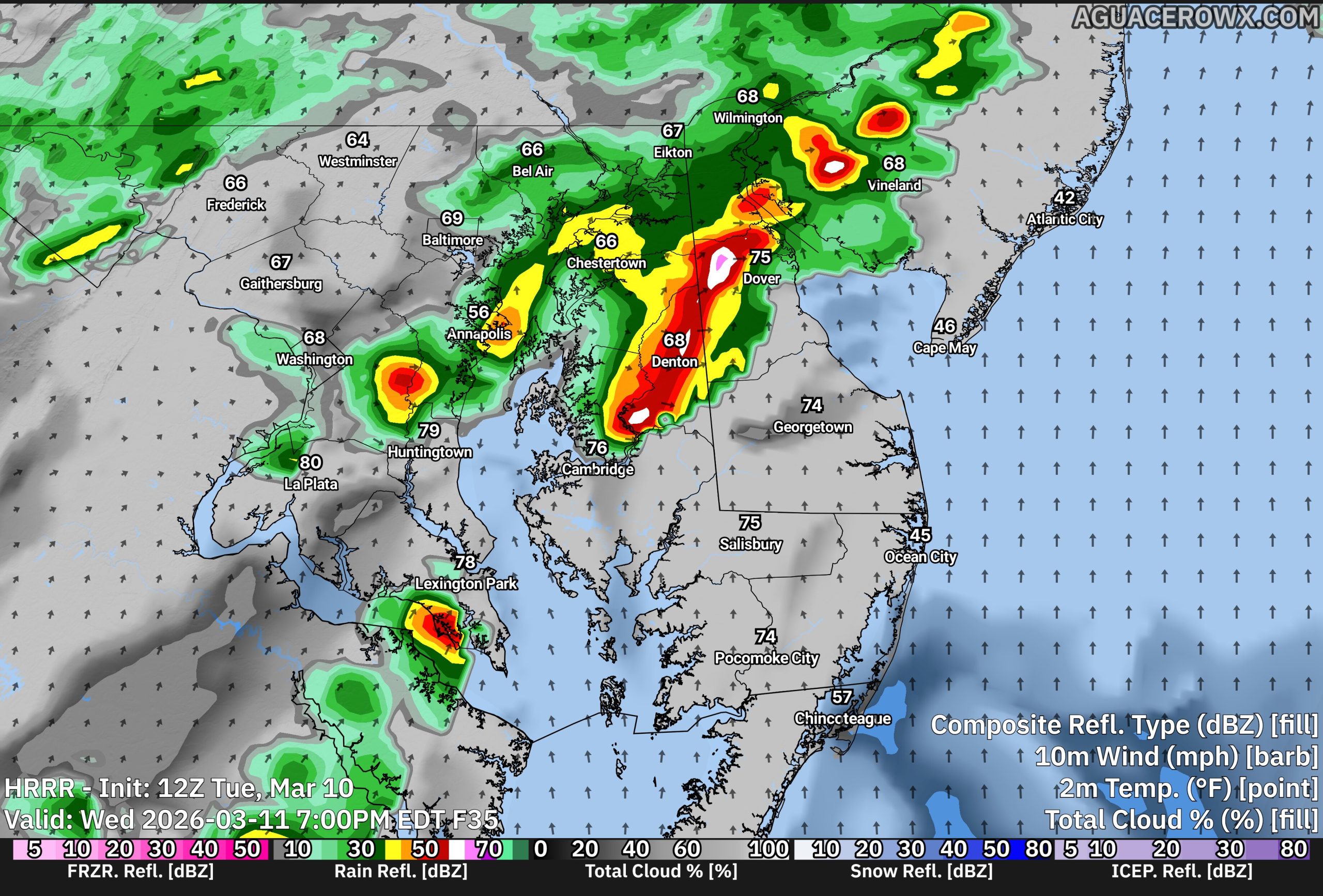

A strong cold front is expected to move through the region late Wednesday night into early Thursday morning, bringing a period of showers and possibly a few strong thunderstorms.

Ahead of the front, warmer and more humid air will move into the area Wednesday. This could help showers and a few thunderstorms develop as the cold front approaches overnight. While a few storms could become strong, the overall threat for severe weather across Delmarva appears to be relatively lower.
One reason for the lower risk locally is the influence of the Atlantic Ocean. Water temperatures are still very cold this time of year, which creates a stable marine layer near the coast. This cooler, more stable air can weaken storms as they move east toward the Delmarva Peninsula.

The greater risk for stronger storms is expected to remain farther inland, mainly west of our area, where conditions will be more favorable for storms to stay organized with the threat of strong winds, some small hail and a limited tornado risk across Western Maryland.
Even so, residents across Delmarva should expect periods of showers and rounds of thunder late Wednesday night into early Thursday morning.
After the cold front moves through Thursday morning, temperatures will begin to fall during the day as much colder air moves in. In fact, the warmest temperatures Thursday may occur just after midnight before dropping into the 40s by late afternoon with gusty northwest winds.