A significant warm up is expected across the Delmarva Peninsula late this weekend and into the first half of next week, with temperatures climbing well above seasonal averages. Along with the warmer air, periods of showers and the potential for dense fog may also develop, especially near the coast.

The transition begins Saturday night as an upper level disturbance tracks well to the north of the region. A weakening cold front trailing from this system is expected to move through the Mid Atlantic, bringing the chance for scattered showers and possibly a thunderstorm Saturday night into early Sunday. While the system will provide some lift in the atmosphere, meteorologists say the forcing may weaken as it moves eastward, which could limit how widespread the rainfall becomes.
Temperatures on Saturday may remain somewhat cooler during the daytime hours due to lingering colder air near the surface. However, warmer air moving into the region ahead of the weakening front will gradually erode that colder air mass from south to north. Because of this, temperatures may actually peak Saturday evening rather than during the afternoon.

By Sunday and Monday, the region will become fully embedded in a much warmer air mass. High pressure anchored over the western Atlantic will establish a steady south to southwest flow, allowing significantly warmer air to surge into the Mid Atlantic.
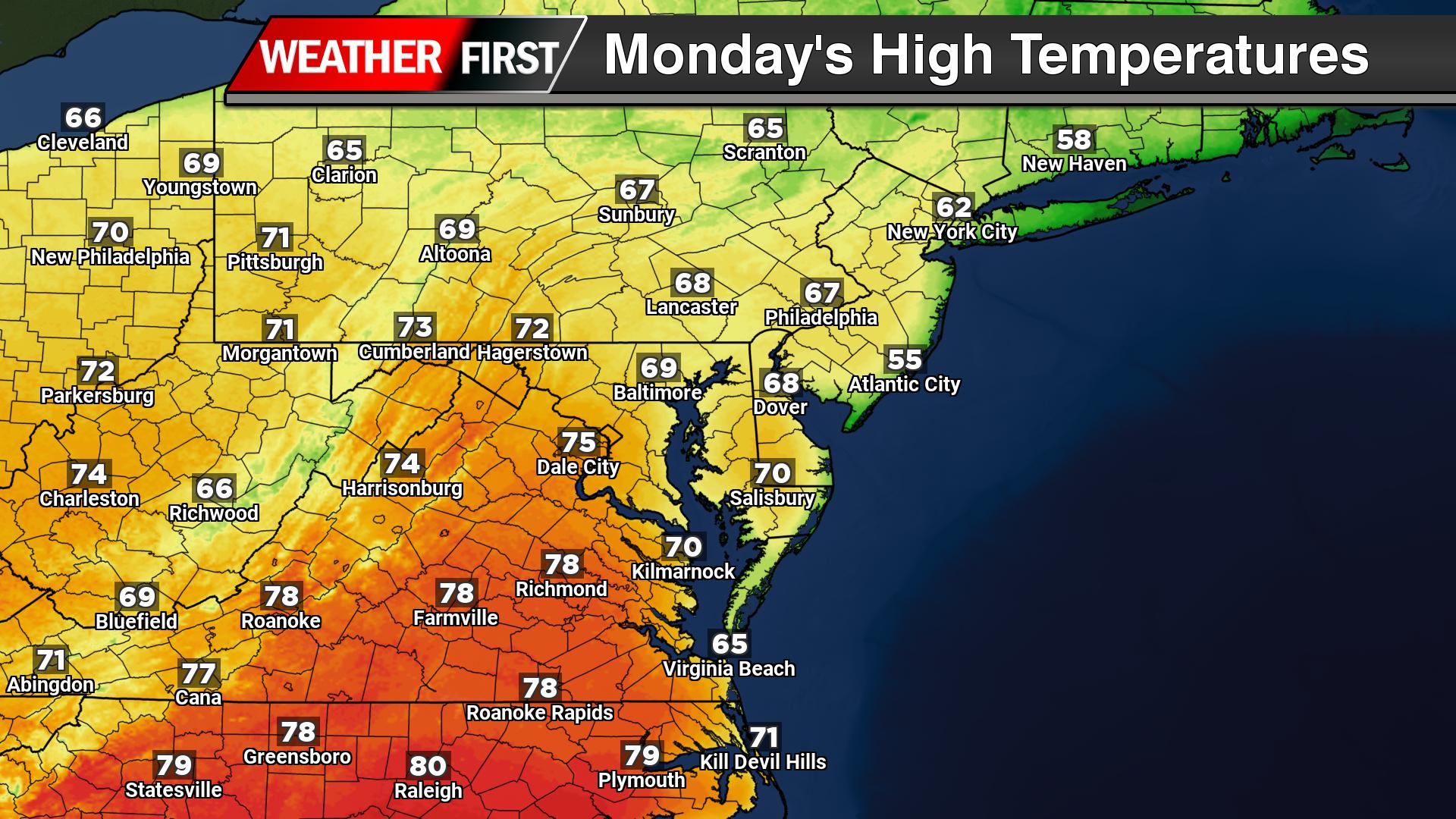
High temperatures are expected to climb into the 60s across much of Delmarva Sunday and Monday. The warmth intensifies further by Tuesday and Wednesday, when many areas could see highs reach the low to mid 70s.
However, coastal communities may experience some cooling due to the influence of the chilly Atlantic Ocean. Light southerly winds could allow a sea breeze to develop, especially during the afternoon hours, bringing cooler temperatures inland near the Delaware and Maryland beaches as well as along Delaware Bay.

Forecast models suggest a cold front may approach the region by Wednesday along with a possible area of low pressure. If this system arrives sooner than expected, temperatures may not reach the 70s in some locations. Behind the front, cooler air is expected to return by Thursday, although temperatures should still remain slightly above normal for early March.

In addition to the warmer weather, fog could become a recurring issue across the region. The combination of the milder air mass and increasing humidity moving over the colder ocean waters creates favorable conditions for fog formation. Some of the fog could become dense at times, particularly near the coastline and around Delaware Bay.
Drivers are urged to remain cautious during periods of reduced visibility, especially during the overnight and early morning hours when fog tends to be most widespread.
Overall, the upcoming pattern represents a notable shift toward springlike conditions after the colder weather that has dominated much of the winter season across the region.