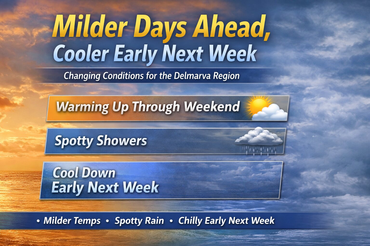
After a stretch of below-normal temperatures, conditions across the Delmarva Peninsula are set to gradually improve heading into the end of the week and the upcoming weekend. However, this warming trend will come with a few weak weather systems bringing occasional chances for light rain before cooler air returns early next week.

Through Thursday, quiet weather will dominate the region. Expect a mix of clouds and dry conditions, with temperatures remaining below average for mid-March.
A transition begins Thursday as a warm front lifts northward across Delmarva. This will allow temperatures to rebound closer to seasonal norms, rising roughly 7 to 10 degrees compared to midweek levels. Despite the warming trend, this system is not expected to produce any precipitation locally.
By Thursday night, a weak cold front passes to the north of the region. While this system may bring light rain and even some snow well north and west of the I-95 corridor, Delmarva will likely only see minimal impacts, with perhaps a spotty shower at most.

The warming trend continues into Friday as that boundary lifts back north. Temperatures will climb a few degrees higher, with another weak system approaching Friday night. This could bring a slight chance of light rain, but once again, the better chances for measurable precipitation appear to stay north and west of the peninsula.

Heading into the weekend, warmer air becomes more firmly established. By Saturday and especially Sunday, much of Delmarva is expected to see temperatures rise into the middle to upper 60s, providing a noticeable break from the recent chill.

The next more organized system arrives late Sunday into Sunday night, as a cold front pushes through the region. This will bring a better chance for scattered showers across Delmarva before moving offshore.

Behind this front, cooler and drier air returns to start the new week. Temperatures will fall back to more seasonable levels on Monday, with a reinforcing push of colder Canadian high pressure arriving by Tuesday. This will bring another period of below-normal temperatures to the region.
Overall, the pattern remains relatively quiet, with no significant storms expected, but periodic light rain chances and temperature swings will define the forecast over the next several days.