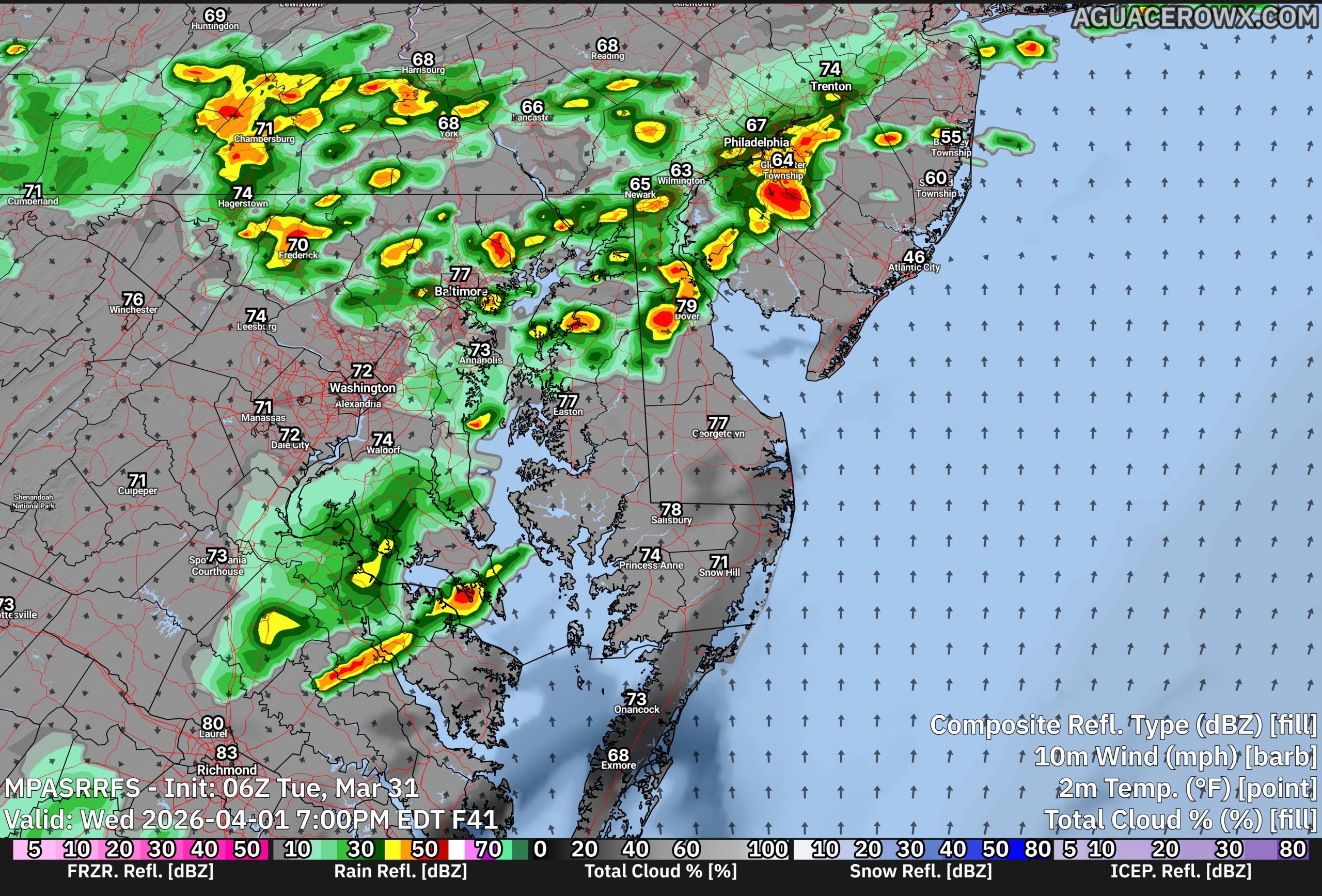

A stalled boundary draped across parts of the Mid-Atlantic will act as a focus for developing showers and thunderstorms Wednesday, especially during the afternoon and early evening hours.
As temperatures warm through the day, rising heat and moisture in the atmosphere will help fuel storm development. This process, known as daytime heating, will allow scattered storms to form along the boundary, though coverage is expected to remain somewhat limited, meaning not everyone will see rain.

While the overall setup is not highly favorable for widespread severe weather, a few storms could become stronger and more organized. These storms may be capable of producing large hail and gusty to damaging winds, particularly during the peak heating of the afternoon.
There is also the potential for some storms to group together into small clusters, which can increase the risk of stronger wind gusts as they move through. However, the threat remains isolated, and many areas will avoid severe conditions altogether.
Residents across the Mid-Atlantic should stay weather-aware Wednesday, especially if you have outdoor plans. Keep an eye on the sky and be prepared to move indoors quickly if a storm approaches.