A mild but breezy day is unfolding across the Delmarva Peninsula as a fast-moving weather system tracks north of the region, bringing increasing winds, warmer temperatures, and a chance for evening showers.

Southerly winds are strengthening through the afternoon as the pressure gradient tightens ahead of an approaching cold front. Wind gusts are expected to reach 25 to 35 mph, especially during the mid to late afternoon hours. These gusty conditions are being driven by a strengthening low-level jet and improved daytime mixing, allowing stronger winds aloft to reach the surface.

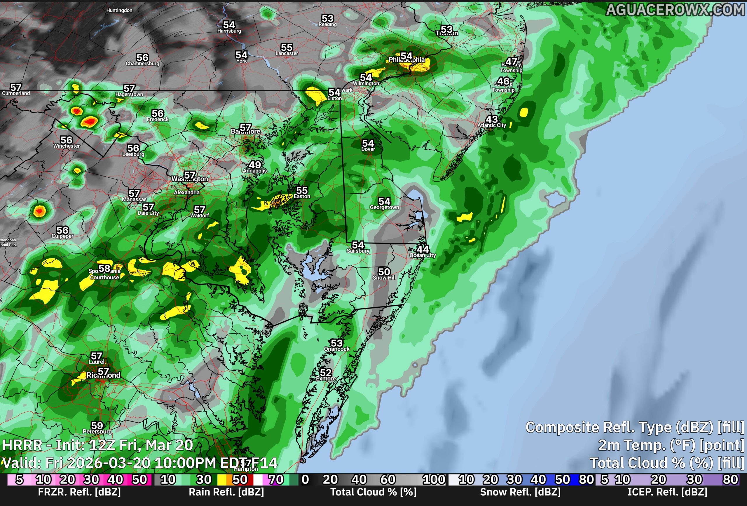
Temperatures are responding accordingly, climbing into the lower to mid 60s inland, marking a noticeable warm-up compared to recent days. However, areas along the immediate coast will remain cooler due to persistent onshore flow off the still-chilly Atlantic waters.

Clouds will continue to increase through the day, with showers developing late this afternoon and becoming more widespread this evening as a weak cold front approaches. While the overall severe weather risk remains low across Delmarva, there is a slight chance of a thunderstorm, primarily west of the region. Most local impacts will be limited to periods of rain and brief heavier downpours.

Rainfall totals across Delmarva are expected to be relatively light, generally ranging from around 0.10 to 0.20 inches, though isolated higher amounts are possible in any heavier showers.
Conditions will improve overnight as the cold front pushes offshore, bringing an end to the rain and a gradual decrease in winds heading into early Saturday.