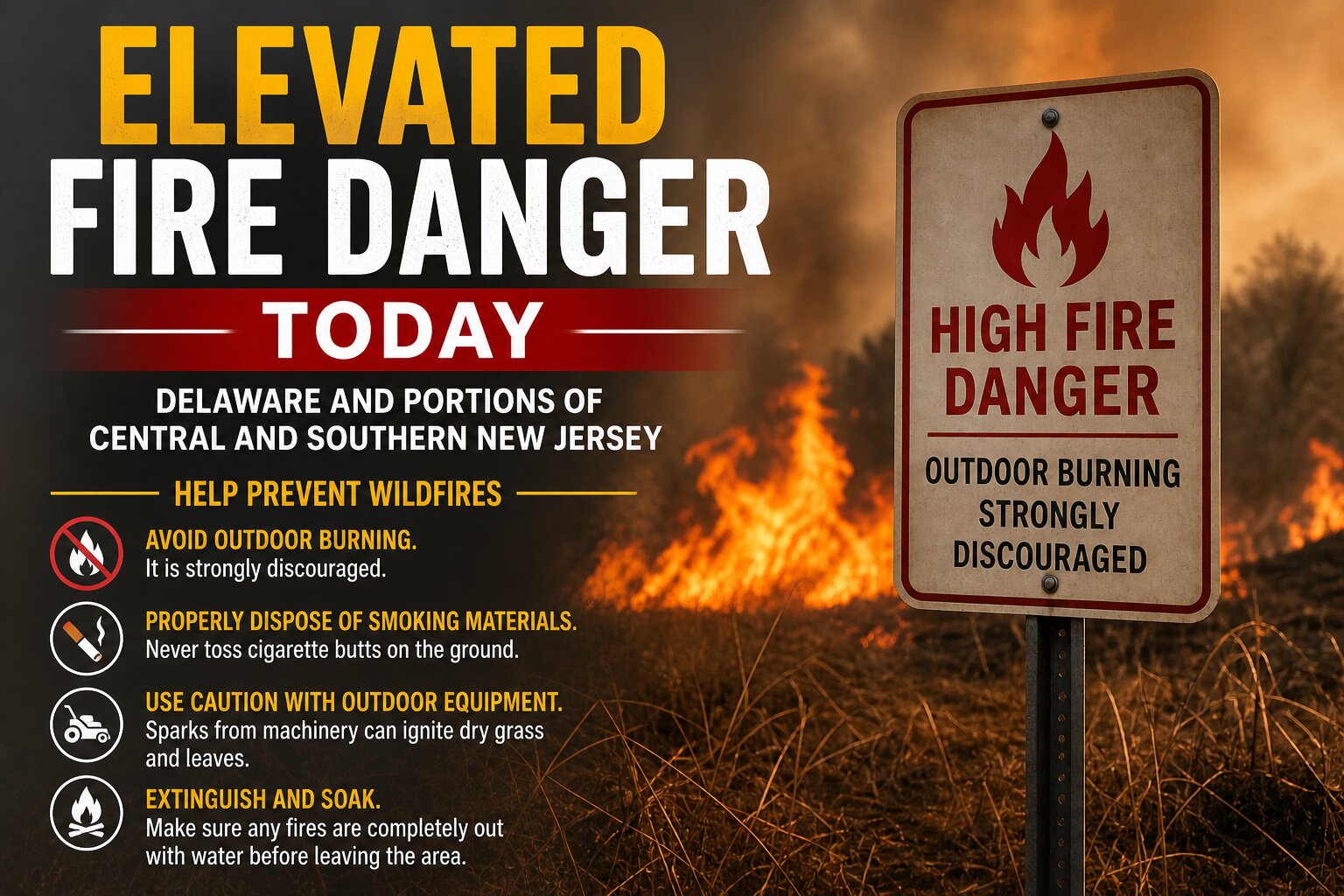

An elevated risk for fire spread is in place across Delaware and portions of central and southern New Jersey today as a combination of dry air, warm temperatures, and gusty winds creates conditions favorable for rapid fire growth.

According to the latest forecast, relative humidity values are expected to fall to around 25 to 30 percent this afternoon. At the same time, temperatures will climb into the 80s, while southwest winds increase to 15 to 20 mph with gusts reaching up to 30 mph. This combination of low humidity and strong winds significantly enhances the potential for any fires that develop to spread quickly and become difficult to contain.
The setup is driven by a dry air mass and efficient boundary layer mixing, allowing stronger winds aloft to transfer down to the surface. The resulting environment promotes rapid drying of fine fuels such as grasses and leaf litter, which are especially susceptible to ignition and fast-moving fire behavior.
Fire officials emphasize that even a small spark could lead to a rapidly spreading wildfire under these conditions. Outdoor burning is strongly discouraged across the region. Residents are urged to properly dispose of smoking materials and to use caution when operating equipment such as lawn mowers or other machinery that could generate sparks.
Conditions are expected to improve later this evening as winds begin to diminish and relative humidity values recover, reducing the overall fire danger heading into the overnight hours.
This elevated fire risk assessment accounts for current meteorological conditions as well as fuel dryness and land characteristics, and has been issued in coordination with state fire management officials.