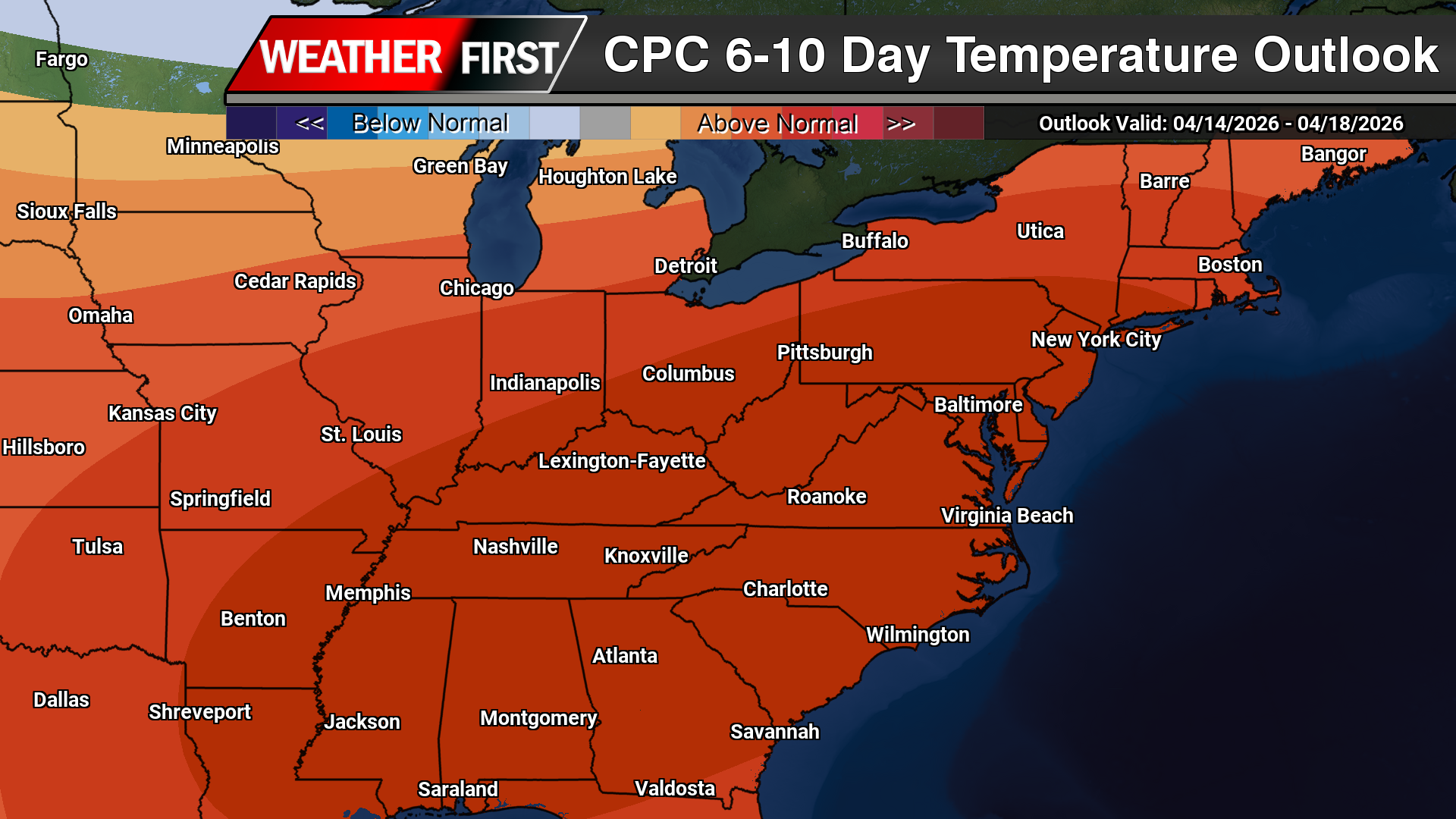

A noticeable shift toward much warmer weather is expected across the Delmarva Peninsula as we head into early and mid next week, bringing the first widespread taste of summer-like conditions this season.
Following a seasonable and relatively comfortable weekend, high pressure will build back into the region in the wake of a departing cold front. This setup will quickly transition into a return flow pattern, allowing warmer air from the south to surge northward across Delaware, Maryland’s Eastern Shore, and coastal Virginia.

By Tuesday and especially into Wednesday, temperatures are forecast to climb well above average. Many inland locations across Delmarva, including areas like Salisbury, Easton, Dover, and Georgetown, could see afternoon highs push well into the 80s. Even coastal communities, which are often moderated by cooler ocean waters, should see a notable warm-up, though slightly lower than inland areas.
In addition to the daytime warmth, overnight temperatures will also trend much milder than recent nights. Lows are expected to remain in the 60s, marking a significant departure from the cooler conditions experienced recently. This combination of warm days and mild nights will create a sustained stretch of above-normal temperatures across the region.

For the most part, dry weather is expected to dominate through at least the middle of the week. However, a weak disturbance may bring a slight chance for a few showers Monday night, primarily across northern portions of the region such as Kent and northern Queen Anne’s counties. Most areas, especially across southern Delaware and the lower Eastern Shore, are expected to remain dry during this time.
Looking ahead, the next more organized chance for precipitation may arrive by Wednesday as a cold front begins to approach from the northwest. The timing and strength of this system will determine whether showers or thunderstorms develop, but for now, the primary story remains the unseasonably warm temperatures building across Delmarva.


