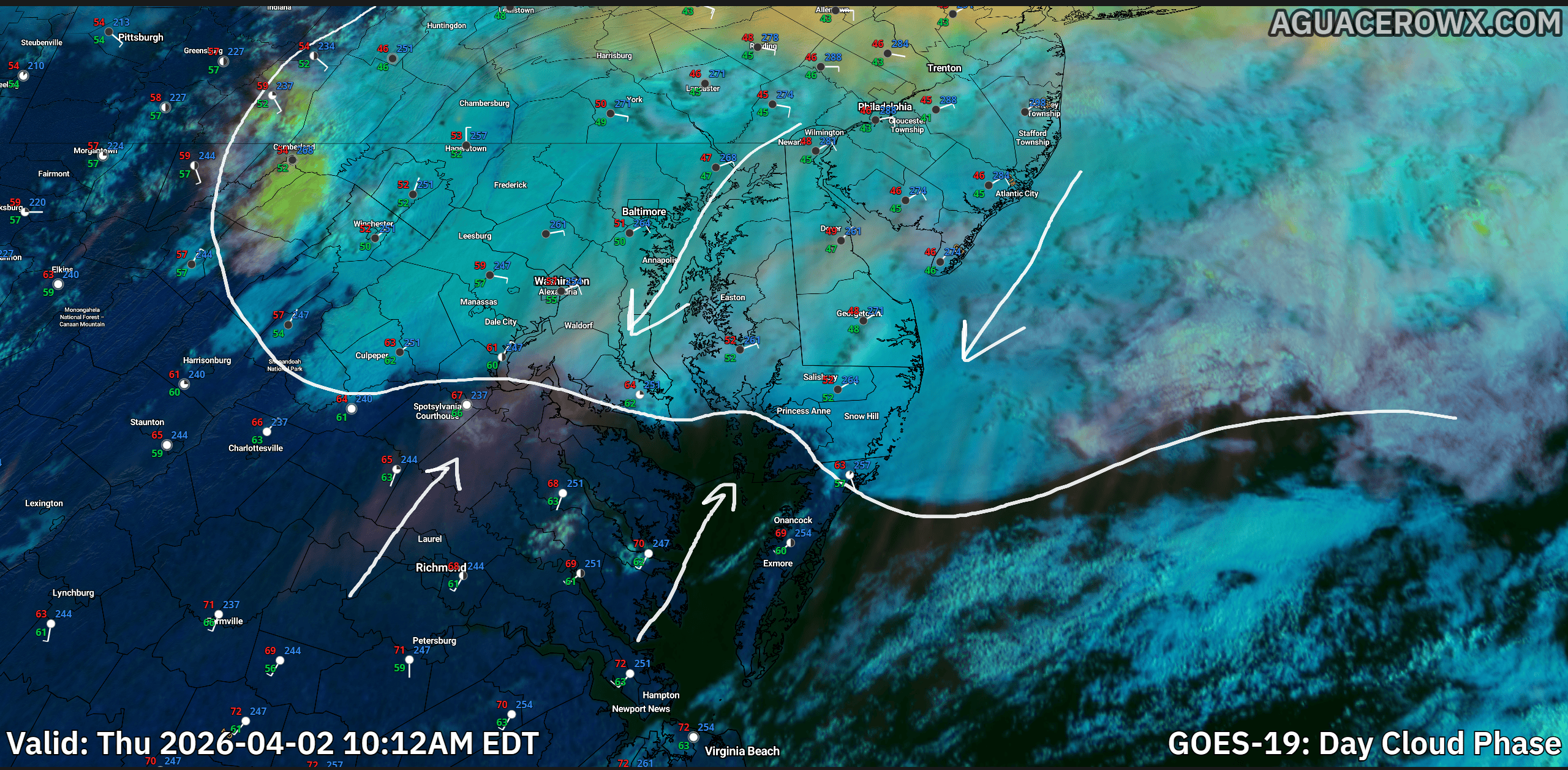

A noticeable shift in the weather pattern is underway across the Delmarva region today as a stalled frontal boundary lingers just to the south. This setup is bringing cooler temperatures and a more overcast sky compared to the recent stretch of warmth.

High temperatures today are expected to remain subdued, generally ranging from the mid 40s to mid 50s across Delaware and the Maryland Eastern Shore. Persistent cloud cover will dominate much of the day, and while widespread rainfall is not expected, a few isolated showers or areas of drizzle may develop at times.
As we head into tonight, the stalled boundary will begin lifting northward as a warm front. This transition will mark the beginning of a gradual warming trend. Temperatures may dip slightly this evening before stabilizing or even slowly rising overnight, especially across southern Delmarva. Overnight lows are now expected to range mainly in the low to mid 40s.

With increasing low-level moisture and lighter winds overnight, patchy fog may develop in some locations, potentially reducing visibility into early Friday morning. A few spotty showers could also accompany the northward-moving warm front.

By Friday morning, the warm front is expected to lift fully through the region, allowing for a significant rebound in temperatures. Afternoon highs will climb into the 70s, bringing a return to milder, more spring-like conditions across Delmarva.
Overall, today’s cooler and gray conditions will be short-lived, with a quick turnaround to warmer weather heading into the end of the week.