A summer-like surge of warmth across the Delmarva Peninsula will come to an end Wednesday night as a cold front pushes through the region, bringing a round of showers and a few thunderstorms during the afternoon and evening hours.

Ahead of the front, Wednesday is shaping up to be another unseasonably warm and humid day. Temperatures are expected to climb into the upper 70s to near 80 degrees across much of Delmarva, with some locations potentially challenging daily record highs. The combination of warmth and increasing humidity will create a more unstable atmosphere by late in the day.

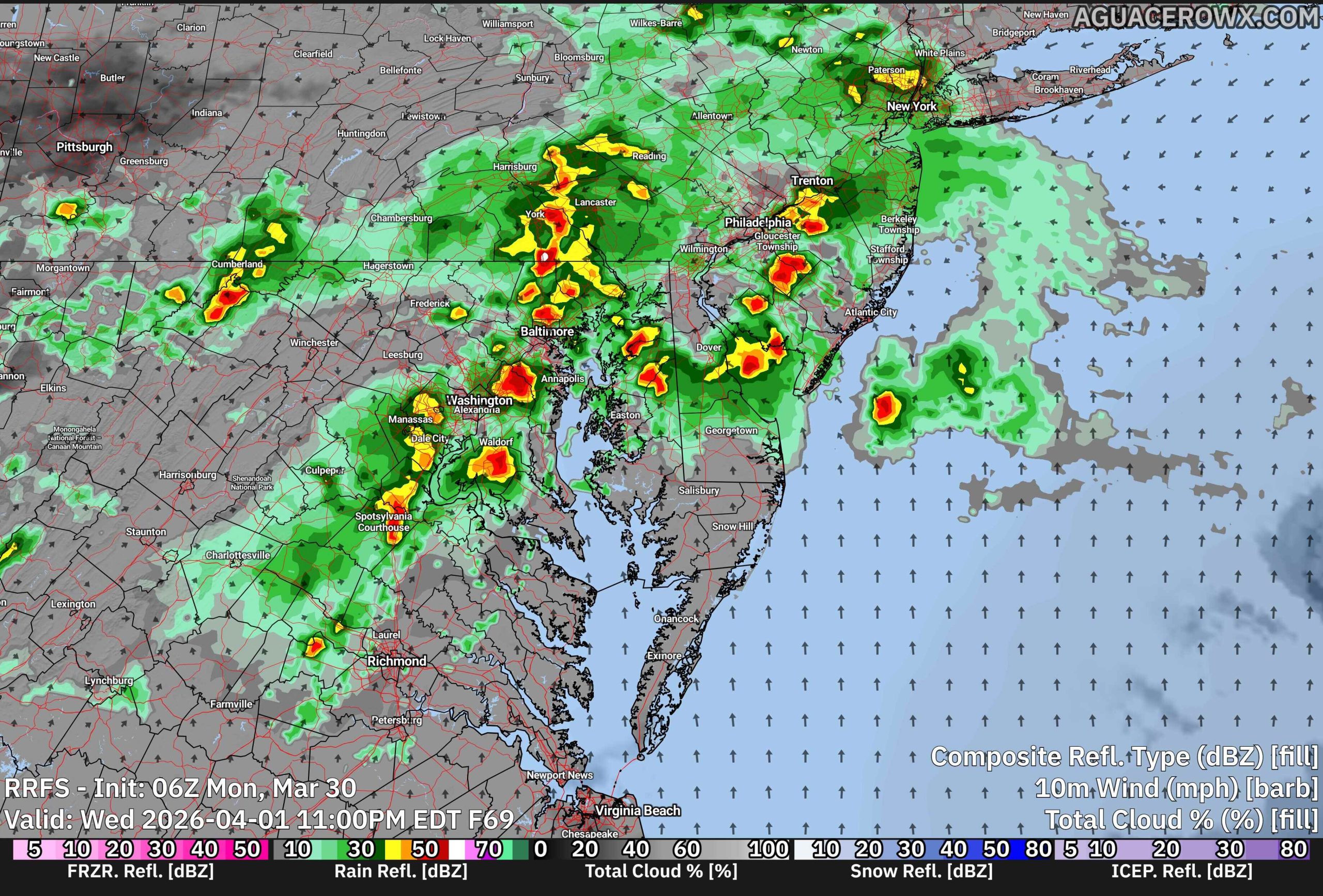
That setup will allow for the development of scattered showers and thunderstorms, mainly during the mid to late afternoon and into the evening hours. While a few storms could become locally strong, the overall severe weather threat remains low at this time. Forecast soundings indicate some instability will be present, but wind shear appears limited, which should prevent widespread organized severe storms. Current guidance from the Storm Prediction Center does not highlight the region for severe weather in the Day 3 outlook, reinforcing the limited threat.

Rainfall amounts are expected to be relatively light, generally ranging from a tenth to a half inch, with the higher totals likely staying north and west of the I-95 corridor. No flooding concerns are anticipated given the modest rainfall rates and progressive nature of the system.
Showers may linger into the overnight hours Wednesday before the cold front clears the region, setting the stage for a cooler and less humid air mass heading into the end of the week.