Multiple trees have fallen and are blocking traffic at the intersection of Parker Road and Piney Grove Road, according to Delaware Department of Transportation officials.
The fallen trees are creating a road obstruction in the area, preventing normal traffic flow through the intersection.
DelDOT is monitoring the situation as crews work to clear the debris and reopen the roadway to traffic.
Motorists are advised to avoid the area and seek alternate routes until the trees can be removed and the road reopened.
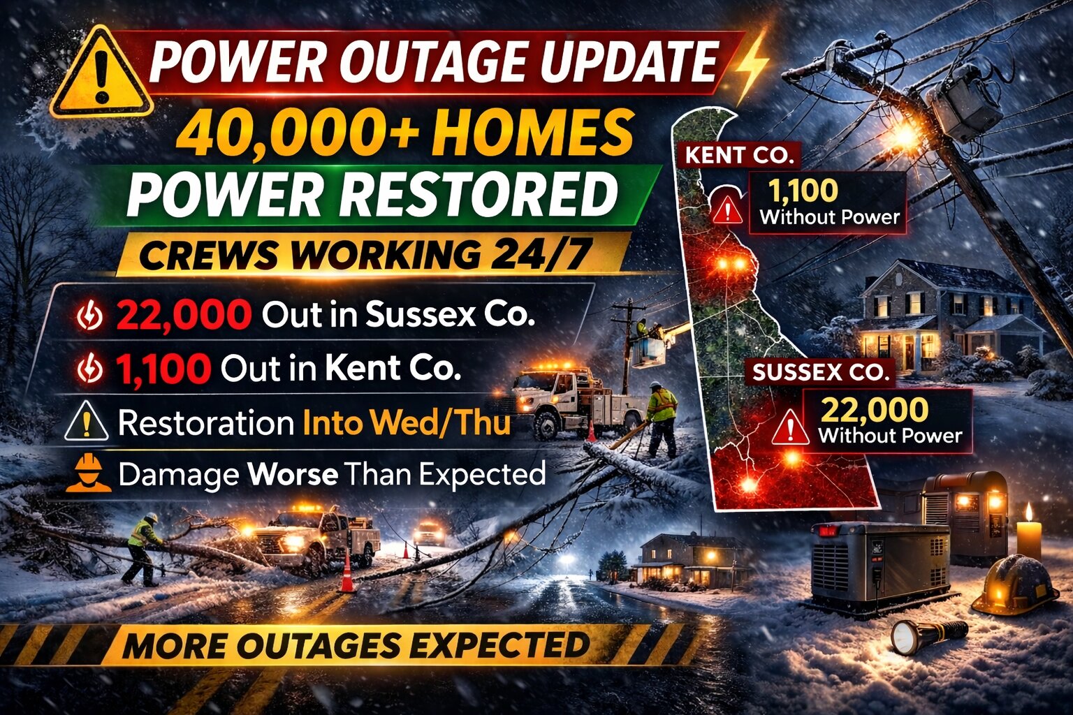
Utility crews restored power to 20,000 additional homes overnight, bringing the total number of restored customers to 40,000 since the winter storm began Sunday.
Officials say damage to the system is more extensive than initially believed, particularly in the most rural portions of the service territory. As a result, full restoration may take longer than anticipated as crews continue to assess and repair widespread damage.
Partnerships with DelDOT and local farmers have played a key role in clearing roads, allowing utility teams better access to damaged infrastructure and a clearer understanding of the scope of destruction.
Additional crews from multiple Virginia utilities arrived overnight and are now deployed across the system. Delaware-based contractors have also been called in to assist with restoration efforts.
At this time, crews are focusing on the last major circuit outages impacting thousands of customers in the Angola and Broadkill areas. Many residents in those communities are expected to have service restored later today.
Beyond those major outages, approximately 800 separate damage reports remain across the service territory. These include hundreds of downed trees and power lines, along with more than a dozen broken utility poles. Individual incidents range in impact from single homes to outages affecting several hundred customers.
Officials say they hope to restore power to an additional 10,000 homes by this evening. However, some outages are expected to persist into Wednesday and possibly Thursday.
Due to the high volume of damage reports, individualized restoration times cannot be provided. Utility officials acknowledge the frustration this may cause and say they are committed to providing as much transparency as possible throughout the recovery process.
This storm is being described as the worst outage event since the 1994 ice storm and, for many customers, marks the longest period they have been without power in decades. Officials note that while storms of this magnitude are rare, they can cause extensive and widespread system damage when they occur.
Residents are encouraged to check on friends and neighbors who may still be without power and to offer assistance when possible.
Warming shelters have been opened at Dover High School and Sussex Central Middle School for those in need of relief from the cold.
Utility officials also addressed concerns about the outage map, explaining that during large-scale events individual outages are grouped into broader outage areas. This may result in individual reports not appearing separately on the map, though crews are aware of them. Officials noted the outage map displayed on the DEC Connect App may not be fully accurate at this time, but a live outage map remains available online as repairs continue.
Crews will continue working 24 hours a day until all customers have service restored. Another update is expected later today.
Delaware officials have announced that all statewide driving restrictions have been immediately lifted, according to Governor Meyer’s office in Smyrna.
The First State no longer has any driving warnings or restrictions in effect as of today. However, state officials are advising drivers to use extra care while traveling, as some roadways may still contain icy spots and snow patches.
Additionally, motorists should watch for fallen trees that may still be present in certain locations across the state. Authorities emphasize that drivers need to stay alert and cautious despite the lifting of formal restrictions.
Weather officials have issued a special weather statement for the Delmarva Peninsula region this morning, according to the National Weather Service office in Mount Holly, New Jersey.
The weather alert was released at 6:38 AM on February 24th, covering areas throughout Delaware and the surrounding region.
Residents are advised to monitor local weather conditions and stay tuned to TV Delmarva for the latest updates on this developing weather situation.
Motorists should avoid Point Drive at Devon Road where a fallen tree has completely blocked the roadway, forcing officials to close the area to traffic.
The Delaware Department of Transportation reported the road closure due to the tree obstruction that has made the intersection impassable for vehicles.
DelDOT crews are responding to remove the fallen tree and restore normal traffic flow. Drivers are advised to seek alternate routes until the roadway can be safely reopened.
No timeline has been provided for when Point Drive will be accessible again at the Devon Road intersection.
Communities across the Northeast, including Delaware, are working to recover from a devastating winter storm that meteorologists are calling the most powerful in ten years, leaving hundreds of thousands without electricity and causing massive travel disruptions.
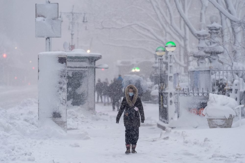
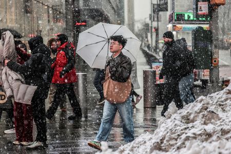
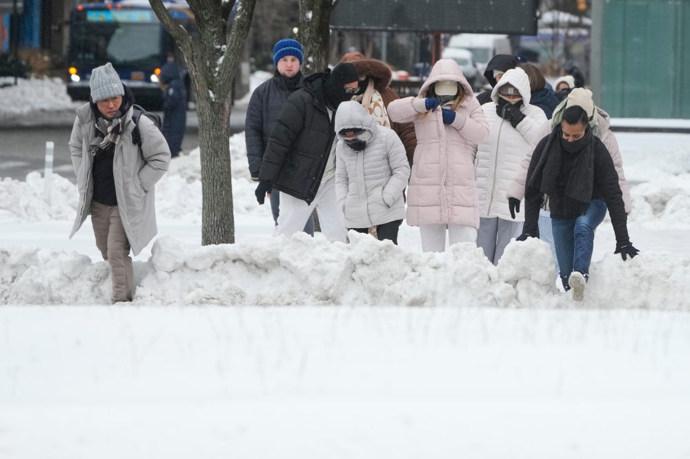
The historic blizzard deposited more than 24 inches of snow across portions of the region before moving northward Tuesday. Delaware was among several states where residents lost power, along with Massachusetts, New Jersey, and Rhode Island. Recovery efforts are underway as roads reopen and public transit systems restore service in major metropolitan areas.
However, weather experts are already tracking another storm system that could bring additional snowfall to the region later this week.
The massive storm created chaos in New York City’s school system, where classes were cancelled Monday. Mayor Zohran Mamdani decided to resume in-person instruction Tuesday, despite snow-covered sidewalks throughout the city.
Staten Island Borough President Vito Fossella opposed the decision to reopen schools, while United Federation of Teachers President Michael Mulgrew called the circumstances “a big mess.”
“There’s going to be low attendance of students. You’re going to have low attendance of staff because people don’t know if they can travel, if they can get to schools,” Mulgrew explained.
While Mamdani’s representatives did not respond to requests for comment, Schools Chancellor Kamar Samuels posted on social media that officials were “confident in our decision to reopen.”
Philadelphia implemented remote learning for both Monday and Tuesday. School districts across Long Island and other New York suburban areas announced continued closures for Tuesday.
The National Weather Service is monitoring another storm system that could deliver more snow to the area before week’s end.
Although the approaching storm isn’t expected to match Monday’s intensity, even modest additional snowfall could complicate ongoing cleanup efforts, according to Frank Pereira, a meteorologist with the National Weather Service in College Park, Maryland.
“Any additional snow at this point is probably not going to be welcome,” Pereira stated.
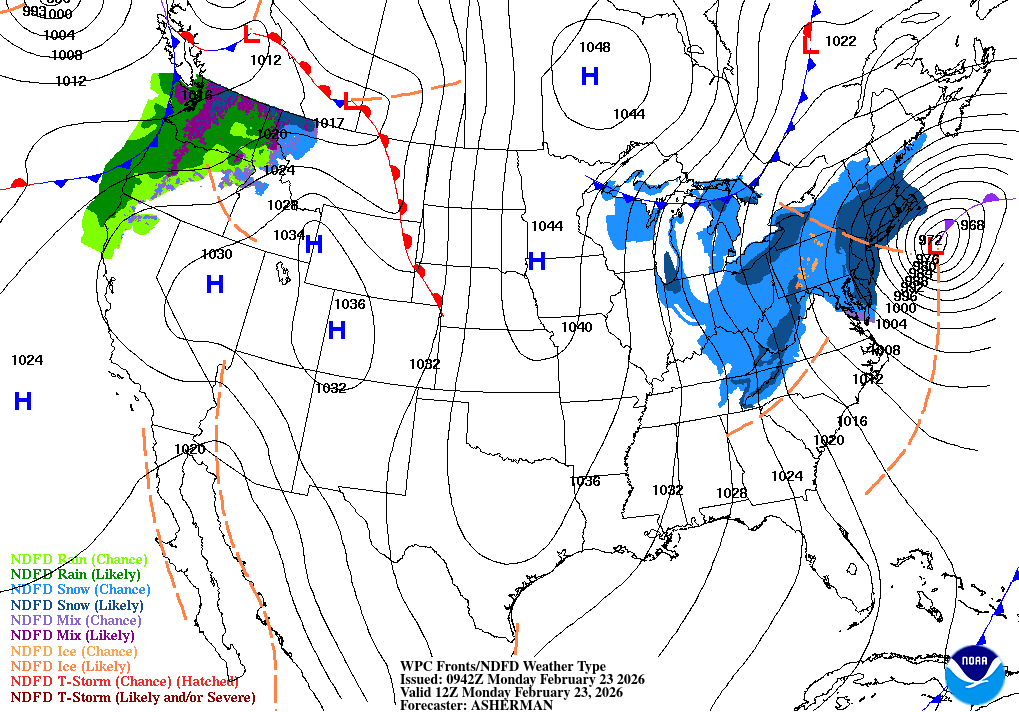
Weather officials classified Monday’s storm as a “classic bomb cyclone/nor’easter off the Northeast coast.” This phenomenon occurs when atmospheric pressure drops rapidly within 24 hours, typically happening during fall and winter months when Arctic air masses collide with warmer temperatures.
Flight tracking service FlightAware reported more than 2,000 domestic flight cancellations Tuesday, with airports in New York, New Jersey, and Boston experiencing the majority of disruptions.
Rhode Island’s T.F. Green International Airport suspended operations Monday after receiving nearly 38 inches of snowfall, surpassing a record established in 1978.
Central Park in Manhattan measured 19 inches of snow accumulation. Warwick, Rhode Island, saw more than three feet of snow, leading the nation in total accumulation. Nantucket recorded the highest wind speeds at 83 mph, with hurricane-strength gusts battering Cape Cod.
Emergency declarations were issued by New York, Philadelphia, and other municipalities, as well as multiple states.
For the first time in over 150 years, The Boston Globe suspended printing its daily edition because severe weather conditions prevented staff from safely reaching the printing facility.
In the New York metropolitan area, the Metropolitan Transportation Authority reported Monday evening that subway operations had largely resumed following earlier delays, except in Staten Island, where rail service remained halted.
Limited commuter rail service to northern and eastern suburbs was scheduled to restart before Tuesday’s morning rush hour, according to MTA officials.
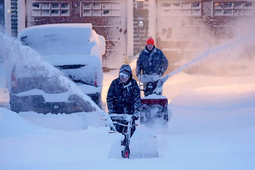
Brooklyn resident Christa Prince joined two others Monday afternoon, using shovels and an electric snow blower to clear pathways.
“We’re just making a path for this car,” Prince explained. “It’s not our car but you know, we’re just doing our neighbor a kind deed.”
An unprecedented winter storm has forced The Boston Globe to make history in a way it never intended — by suspending print operations for the first time since the newspaper launched in 1872.
Dangerous snow conditions and high winds made it impossible for employees to reach the publication’s printing facility safely, preventing Tuesday’s edition from going to press, according to a report published on the Globe’s digital platform. The newspaper’s printing operation is housed in Taunton, located in Bristol County, Massachusetts, where the National Weather Service recorded 32 inches of snowfall by Monday evening.
The decision highlights how dramatically news consumption has shifted in the digital era. Recent research from the Pew Research Center in 2025 revealed that just 7% of American adults regularly consume news through print publications. In contrast, 56% of adults frequently access news content via smartphones, computers, or tablets.
While this represents the first management-ordered suspension of daily printing in the Globe’s history spanning more than 150 years, work stoppages did occur several times during the 1950s and 1960s due to labor disputes.
The newspaper managed to continue operations during another historic storm almost 50 years ago, producing several thousand copies on February 7, 1978. However, delivery proved nearly impossible as snow accumulation trapped distribution vehicles within just a mile or two of the facility.
This week’s storm established new snowfall records throughout the region, including at Rhode Island’s T.F. Green International Airport in Warwick, which measured nearly 38 inches — surpassing the previous record set in 1978.
Print subscribers will receive Tuesday’s newspaper content with Wednesday’s delivery, the Globe announced.
The National Weather Service office serving the Delmarva Peninsula issued a special weather statement Sunday evening, alerting residents to changing weather conditions across the region.
The weather alert was released at 9:53 PM Eastern Standard Time on February 23rd by meteorologists at the Mount Holly, New Jersey forecast office, which provides weather forecasting and warnings for Delaware and the broader Delmarva area.
Special weather statements are typically issued when meteorologists need to communicate important weather information that doesn’t meet the criteria for watches or warnings, but still requires public attention.
Residents across Delaware and the Eastern Shore should stay tuned to local weather updates and monitor conditions as they develop.
Rehoboth Beach city officials have released several critical updates as the coastal community recovers from severe storm conditions:
Water Conservation Measures:
City officials had previously requested residents exercise caution with water usage and toilet flushing following a power failure at the wastewater treatment plant. However, authorities want to reassure the public that backup power systems are installed at the facility and generators are currently operational. The treatment plant has continued functioning through its emergency power supply, with staff actively overseeing operations throughout the outage.
The temporary water conservation request serves as a precautionary measure while conditions throughout the city return to normal. Officials emphasize there is no current threat to infrastructure or environmental safety. City leadership states their main focus continues to be safeguarding public health and ensuring dependable service delivery to residents. They express gratitude for community patience and cooperation as response teams continue storm recovery efforts.
Electrical Outages and Fallen Trees & Power Lines:
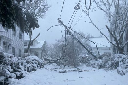
City officials acknowledge numerous fallen trees and downed power lines throughout Rehoboth Beach. Municipal crews are working diligently to respond and remove debris while simultaneously focusing on roadway clearance.
Officials report many residences remain without electricity and have maintained communication with Delmarva Power, who are returning to the city after completing work at Holland Glade. Utility crews were present overnight but had to withdraw personnel due to dangerous wind conditions. Residents can monitor power outage information across Sussex County by accessing Delmarva Power’s online map at www.delmarva.com/outages/experiencing-an-outage/view-outage-map
Anyone who encounters downed electrical lines should stay away from them and contact Delmarva Power immediately at 1-800-898-8042.
Travel Restrictions:
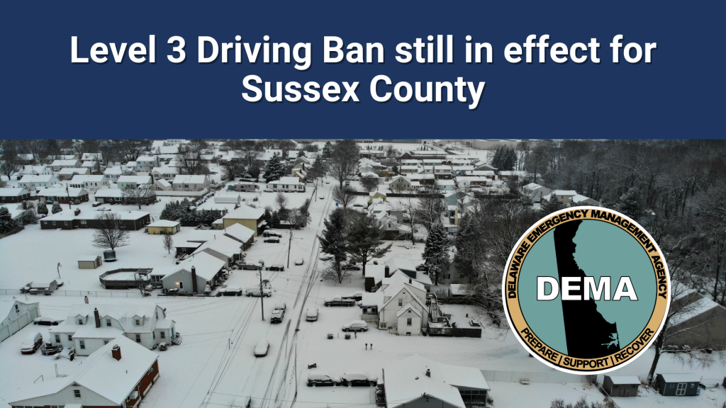
Sussex County has implemented a Level 3 Driving Ban. Here’s what this designation means:
– Under a “Level 3 Driving Ban,” no individual may operate any motor vehicle on Delaware roads while this restriction remains active, with exceptions limited to designated first responders and essential workers, including public utility personnel as outlined in Title 26 § 102(2) and snow removal equipment operators working for public or private organizations, according to established protocols and gubernatorial executive orders.
– All commercial establishments, professional offices, organizations, and other entities are strongly urged to implement appropriate safety measures to protect citizens, customers, and staff by ceasing operations or implementing shelter-in-place procedures.
– Public or private employers are prohibited from terminating, reprimanding, disciplining, or taking any negative employment actions against workers who cannot or refuse to report to work due to an active Level 3 Driving Ban.
– Individuals or organizations violating an active Level 3 Driving Ban will face penalties according to Title § 3125.
Residents should avoid all roadway travel until officials provide further guidance.
Waste collection services citywide have been rescheduled for Thursday, February 26.
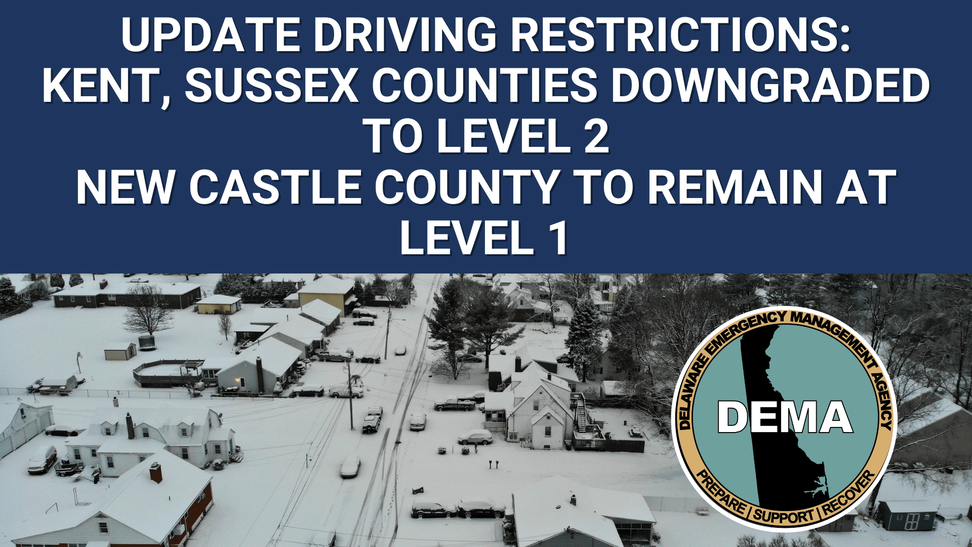
Officials in New Castle County announced this morning at 11:30 AM that the area’s driving advisory has been reduced to Level 1 status.
Under a Level 1 Driving Warning, motorists are advised to exercise continued caution while on the roads and should plan for additional travel time when making trips.
The downgrade suggests improving road conditions in the county, though drivers should remain vigilant and prepared for potentially hazardous driving situations.
Delaware transportation officials have shut down a section of Baker Mill Road following a tree collapse that’s blocking traffic flow.
The roadway closure is in effect at the intersection where Baker Mill Road meets Fleetwood Pond Road, according to DelDOT incident reports.
Motorists traveling through the area are being advised to seek alternate routes while cleanup crews work to remove the fallen tree and restore normal traffic patterns.
Officials have not provided an estimated timeframe for when the roadway will reopen to vehicle traffic.
Airlines across the United States continue working to recover from a massive winter storm that battered the Northeast, creating widespread travel disruptions with over 8,000 flights affected on Monday.
According to FlightAware, a service that monitors air traffic, 5,683 domestic flights were canceled while another 2,703 experienced delays. This comes after more than 11,000 flights faced similar issues on Sunday. Looking ahead, airlines have already grounded an additional 2,000 flights scheduled for Tuesday.
The storm hit some carriers particularly hard. JetBlue experienced the most severe impact, scrapping approximately 80% of its Monday schedule, according to FlightAware data. The budget carrier announced it has eliminated 1,600 flights spanning through Wednesday.
Other major airlines also felt significant effects, with American, Delta, and United each canceling roughly 20% of their Monday operations. The severe weather system brought more than 2.5 feet of snowfall to portions of the Northeast region.
Recovery efforts are gradually showing progress. American Airlines announced it has restored service at both Washington Reagan National Airport and Philadelphia International Airport.
Both Delta and American indicated they anticipate returning to normal operations at New York’s LaGuardia and JFK airports, as well as Boston Logan, by late Tuesday morning. Delta also plans to restart flights from Newark on Tuesday.
The transportation disruptions extended beyond aviation. Amtrak suspended numerous train services connecting New York and Boston, along with other Northeast corridor routes. Multiple states issued advisories urging residents to avoid non-essential road travel for extended periods due to dangerous snow accumulations.
A major winter storm has brought significant snowfall to several northeastern states, creating challenging conditions but also opportunities for winter recreation enthusiasts.
The storm delivered more than 12 inches of snow across Connecticut, with similar accumulations reported in New York, New Jersey, and Massachusetts. Despite harsh conditions including temperatures around 20 degrees and strong winds creating blowing snow, dedicated skiers and winter sports fans ventured out to take advantage of the fresh powder.
In Mansfield, Connecticut, a group of skiing enthusiasts braved the elements on Monday afternoon at Horsebarn Hill, making the most of the snowy conditions as the storm system continued to move through the region.
The winter weather event has impacted daily life across the affected states as residents and local authorities work to manage the aftermath of the significant snowfall.
New Castle County drivers can breathe a little easier tonight after Governor Meyer canceled the Level 1 Driving Warning at 6:00 p.m.
Despite the lifted warning, state officials are asking motorists to stay alert while traveling. Snow remains on certain roads and intersections throughout the county, creating potentially dangerous conditions.
Bridge crossings require extra attention, as these elevated surfaces are prone to freezing and may still be slippery. Drivers should reduce speed and increase following distance when crossing any bridge.
The warning cancellation comes from Smyrna, where state transportation officials have been monitoring road conditions throughout the day.
Motorists are advised to avoid the intersection of Veale Road and Evergreen Lane where a fallen tree is blocking traffic in the area.
The Delaware Department of Transportation reported the tree obstruction, which is causing delays for drivers traveling through the intersection.
DelDOT crews are working to remove the downed tree and restore normal traffic conditions. Drivers are encouraged to seek alternate routes until the roadway is cleared.
No timeline has been provided for when the tree removal will be completed and traffic will return to normal.
Motorists will need to find alternate routes after a fallen tree completely blocked Seenytown Road at Judith Road.
Delaware Department of Transportation officials report the roadway is currently impassable due to the tree obstruction spanning across the entire road surface.
The closure remains in effect while crews work to remove the debris and restore normal traffic flow to the area.
Drivers are advised to seek alternative routes until further notice.
The National Weather Service office in Mount Holly, New Jersey issued a special weather statement on February 23rd at 6:34 PM Eastern Standard Time.
The alert was distributed through the weather service’s official notification system, though specific details regarding the nature of the weather conditions or warnings were not immediately available from the source information.
Residents across the Delmarva Peninsula are advised to monitor local weather conditions and check with the National Weather Service for the most current updates and any potential impacts to the region.
A fallen tree is completely obstructing traffic on Windmill Drive at Pine Grove Lane, according to Delaware Department of Transportation officials.
The tree has come down across the entire roadway, making it impassable for vehicles in both directions. DelDOT crews are expected to respond to clear the obstruction, though no timeline has been provided for when the road will reopen.
Drivers are advised to find alternative routes and avoid the area until the tree can be removed and normal traffic flow restored.
County officials in Wicomico announced that their Government Office Building will stay closed today as power restoration efforts continue following recent severe weather.
According to the announcement, road conditions have significantly improved due to the dedicated efforts of the Public Works Department crews who have been working to clear debris and restore normal traffic flow.
However, fallen trees and widespread electrical outages continue to impact numerous county residents, with the government facility among the buildings still without power service.
The closure affects regular county office operations and public services typically available at the Government Office Building.
Motorists will need to find alternate routes as a fallen tree has blocked Thicket Road at its intersection with Pickett Road.
The Delaware Department of Transportation reports the roadway is currently impassable due to the tree obstruction. Crews are working to remove the debris and restore normal traffic flow.
Drivers are advised to avoid the area and use alternative routes until the road reopens.
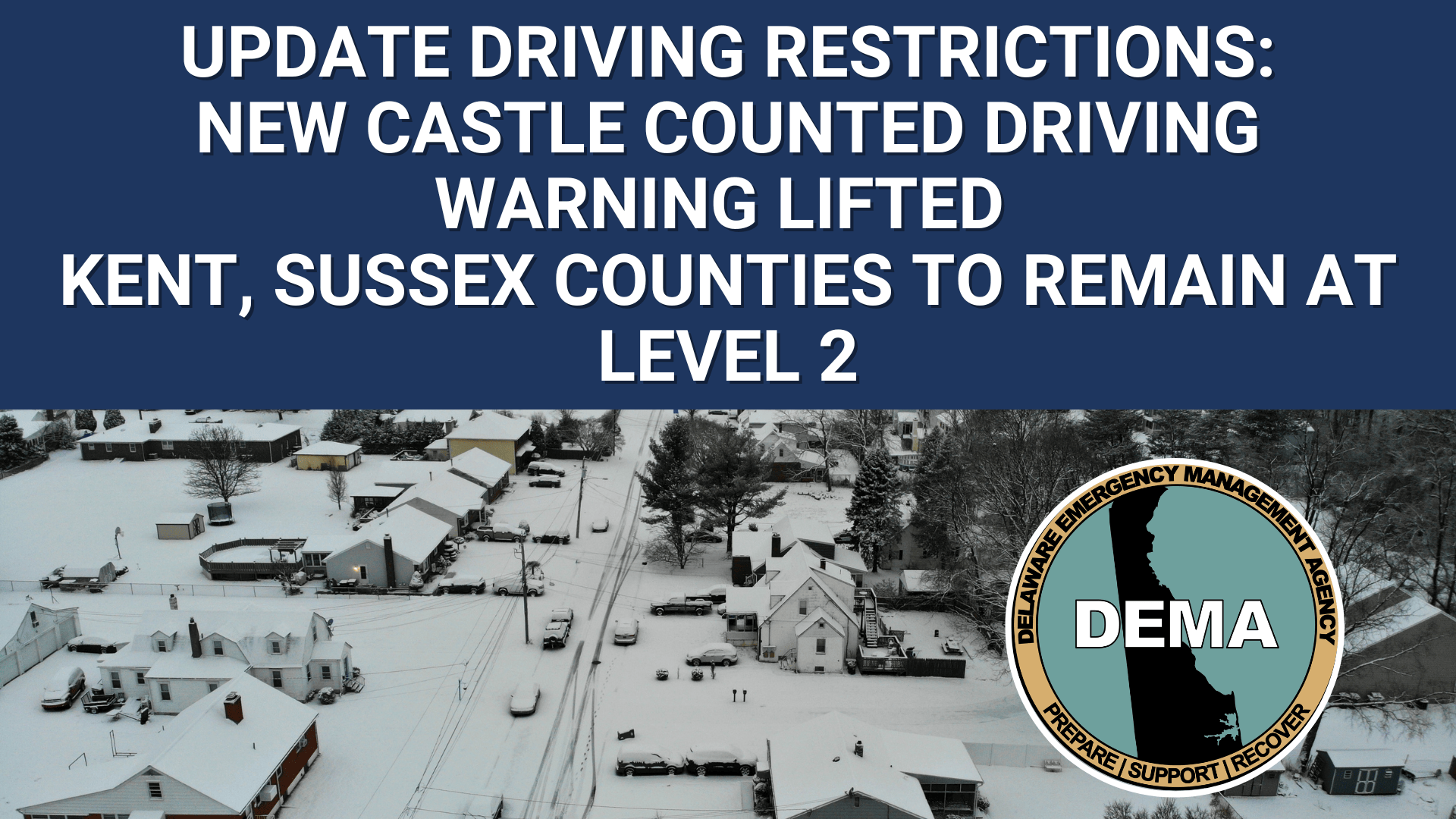
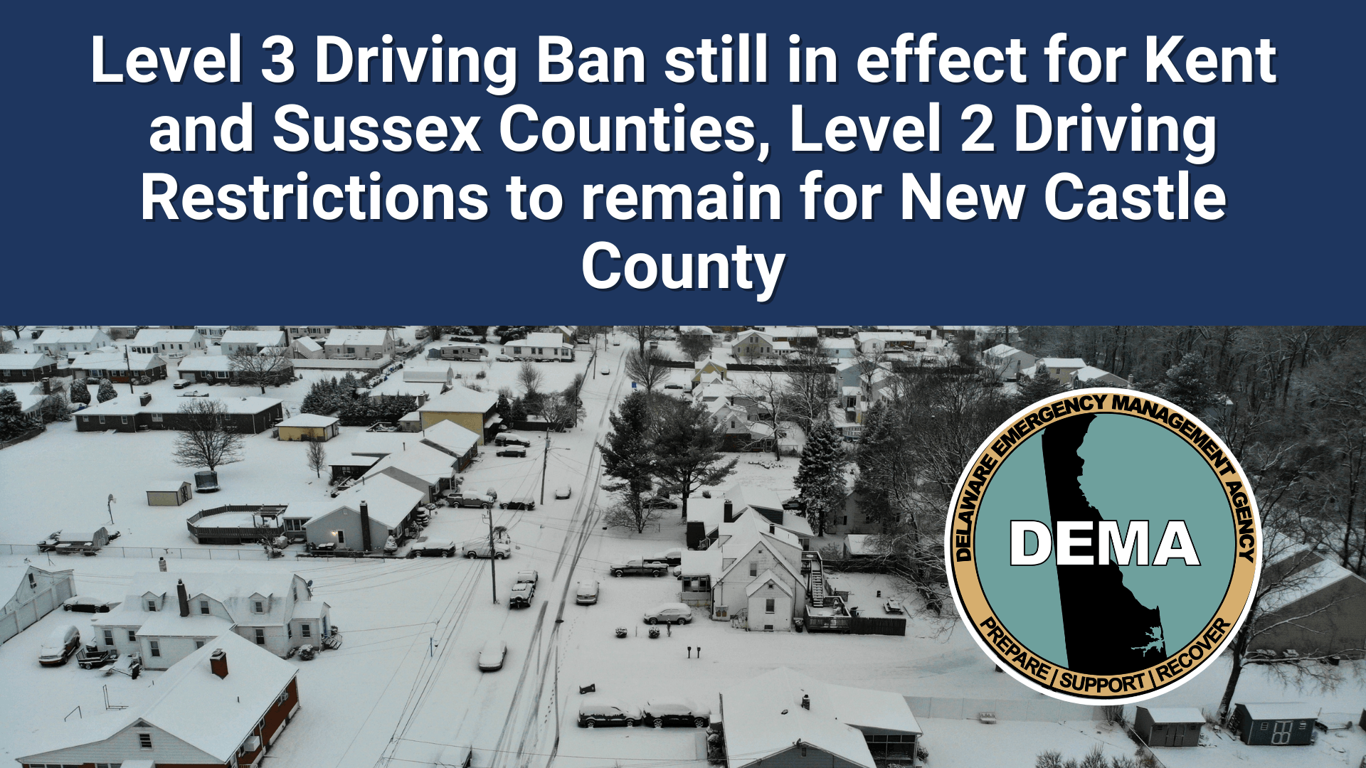
Delaware officials announced Sunday that driving restrictions in the state’s two southern counties have been reduced following ongoing winter storm recovery operations.
Kent and Sussex counties, which had been under a complete driving prohibition, now face more limited travel restrictions that still discourage non-essential trips. Meanwhile, New Castle County continues under its existing driving advisory.
The announcement came from Smyrna as state agencies work around the clock to clear roadways and restore normal travel conditions throughout Delaware.
Under the current Level 2 restrictions in Kent and Sussex counties, residents are strongly urged to avoid unnecessary travel while road crews continue their cleanup efforts. The previous Level 3 designation had completely prohibited vehicle operation except for emergency situations.
State officials have not provided a timeline for when restrictions might be lifted entirely, saying conditions will continue to be monitored as recovery work progresses.
Traffic is being rerouted in the downtown area after a fallen tree completely blocked Main Street at its intersection with West Commerce Street.
Delaware Department of Transportation officials report the roadway is currently impassable due to the tree obstruction spanning across the entire street.
Motorists are advised to seek alternate routes while crews work to clear the debris and reopen the intersection to normal traffic flow.
No timeline has been provided for when the roadway will reopen to vehicles.
A fallen tree has prompted authorities to shut down Bethel Road at the Firemans Road intersection, blocking traffic in the area.
The roadway remains impassable as the large tree lies across the pavement, preventing vehicles from getting through. Drivers traveling in the vicinity should plan alternative routes until cleanup crews can remove the obstruction and reopen the road to normal traffic flow.
Officials have not provided an estimated timeline for when the roadway will be cleared and reopened to the public.
Traffic is being diverted around a section of Redden Road after a fallen tree completely blocked the roadway at Camp Road.
Delaware Department of Transportation officials report the tree has made the road impassable, prompting a full closure of that intersection until further notice.
Motorists are advised to seek alternate routes while crews work to remove the obstruction and reopen the roadway to normal traffic flow.
WASHINGTON — A devastating nor’easter that buried much of the Northeast under nearly three feet of snow represents the most powerful winter storm to strike the region in ten years, according to weather experts who describe it as a textbook example of extreme weather conditions.
The massive storm rapidly strengthened into what meteorologists classify as a “bomb cyclone” while producing rare phenomena including thundersnow and lightning strikes. Despite creating dangerous and paralyzing conditions for millions across the Eastern Seaboard, weather professionals expressed fascination with the storm’s remarkable combination of intensity and meteorological perfection.
According to Owen Shieh, warning coordination meteorologist at the National Weather Service’s Weather Prediction Center in Maryland, the blizzard achieved what he called a “Goldilocks situation” — perfect atmospheric conditions that maximized snowfall potential. The temperatures were precisely right for heavy, wet snow accumulation; slightly warmer conditions would have prevented snow formation, while colder air would have contained insufficient moisture to fuel such massive precipitation.
The storm also followed an optimal path for maximum impact. Jeff Masters, co-founder of Weather Underground and current meteorologist at Yale Climate Connections, explained that a track slightly more inland would have cut off the system’s oceanic energy source, while a more seaward path would have dumped the heaviest snow over open water instead of populated areas.
“I’ve always been fascinated about how Mother Nature figures out how to put all the pieces together in order to maximize the most extreme outcome,” said private meteorologist Ryan Maue, a former chief scientist for the National Oceanic and Atmospheric Administration. “I think you could make a pretty good case that this is on par with some of the most impressive blizzards in history.”
“There’s this sweet spot that can generate your highest snow totals and that’s kind of where we’re at, so in a way that kind of adds to that classic-ness of it,” Shieh said.
By Monday midday, Providence shattered its all-time snowfall record with 32.8 inches, surpassing the previous mark set in 1978, with snow continuing to fall, according to the National Weather Service office in Boston.
Other significant accumulations included 26.5 inches at Islip Airport on Long Island, 24.2 inches in Freehold, New Jersey, and 24 inches in Southampton, New York — all recorded before noon Monday while precipitation continued. New York City measured over 15 inches with totals still climbing, and Philadelphia exceeded 13 inches, based on preliminary weather service data.
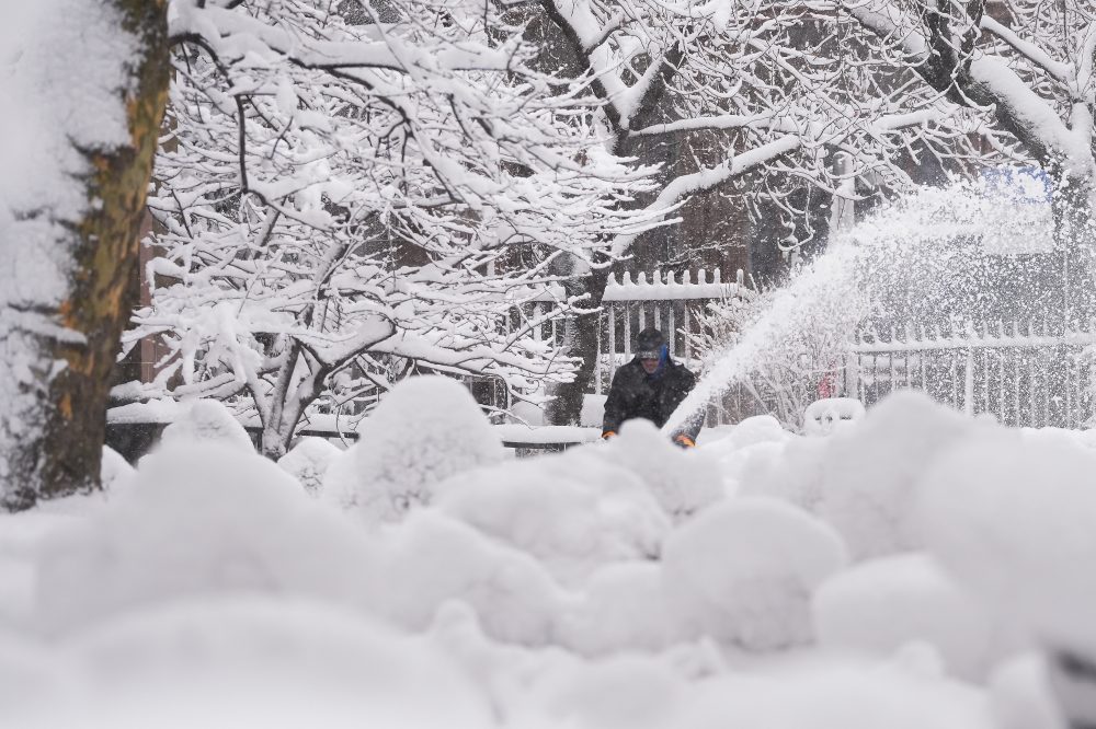
Shieh warned that the heavy, moisture-laden snow poses serious health risks, particularly for cardiac events during snow removal activities.
“Just a word of caution for those who are going to be out shoveling the snow, that this will be easy to overexert yourself on,” Shieh said. “So take frequent breaks.”
Weather experts evaluate storm strength by measuring atmospheric pressure at the system’s center — lower pressure indicates greater intensity. This particular storm underwent rapid intensification, with pressure dropping 39 millibars within 24 hours, far exceeding the 24-millibar daily decrease threshold required for “bombogenesis” or “bomb cyclone” classification, according to Shieh and Maue.
“I guess you could call it a superbomb,” Maue said.
Masters explained that such winter storms derive their power from temperature contrasts between cold continental air masses and warm, moisture-rich oceanic air, combined with thermal energy from the seas.
“This is about as intense as you can get,” Maue said. The storm’s minimum pressure reading of 966 millibars would equate to Category 2 hurricane strength in tropical systems, leading him to describe it as “a hurricane with snow.”
Former weather service director Louis Uccellini, who authored meteorological textbooks on winter storms, praised the system’s exceptional characteristics, comparing it to notable storms from 2016 and 1961. “It is a classic in terms of not only the snowfall rates, but the intensity of the storm itself,” said Uccellini. “It was just an amazing storm system.”
Research published last summer indicates that climate change is causing the most powerful nor’easters to become significantly more intense in our warming world.
MIT’s Judah Cohen identified a stretched polar vortex — when extremely cold Arctic air typically confined near the North Pole extends southward — as a contributing factor that began just before the storm developed. His separate research from last year found these polar vortex stretching events are becoming more frequent due to Arctic warming.
The storm produced an extraordinary combination of winter and summer weather phenomena, including thundersnow and lightning strikes that excited meteorologists covering the event. Masters noted that such occurrences happen “only in the most intense winter storms.”
Weather Channel extreme weather meteorologist Jim Cantore experienced lightning strikes while reporting live from Plymouth, Massachusetts — remarkably, the same location where he witnessed similar phenomena 11 years earlier during another storm.
“Holy smokes. We got it again baby,” Cantore screamed. “In the same place. Unbelievable.”
Meteorologist Matthew Cappucci, a Plymouth native who said he had long hoped to witness thundersnow, expressed excitement about the “really cool” lightning strikes that hit a New York City skyscraper and offshore wind turbines near the Massachusetts coast. However, Shieh noted that the weather service received no thundersnow reports from New York City.
Weather enthusiasts including Cappucci, Cohen, and Uccellini celebrated satellite imagery of the storm, which clearly showed all the meteorological elements that created such perfect conditions.
Shieh said the storm’s appearance was almost too perfect to be real, resembling something from a Hollywood production.
“It almost looks like CGI (computer generated image),” he said.
Millions of residents across the northeastern United States found themselves confined to their homes as a powerful winter storm unleashed dangerous conditions throughout the region. The severe weather system brought fierce winds and blizzard conditions that created hazardous travel and prompted widespread precautionary measures.
The storm’s impact was felt far and wide, with transportation systems grinding to a halt and communities taking shelter from the harsh conditions. Educational institutions and businesses throughout the affected areas made the decision to close their doors as safety became the top priority.
Weather officials had issued blizzard warnings as the storm system moved through, urging residents to avoid unnecessary travel and remain indoors until conditions improved.
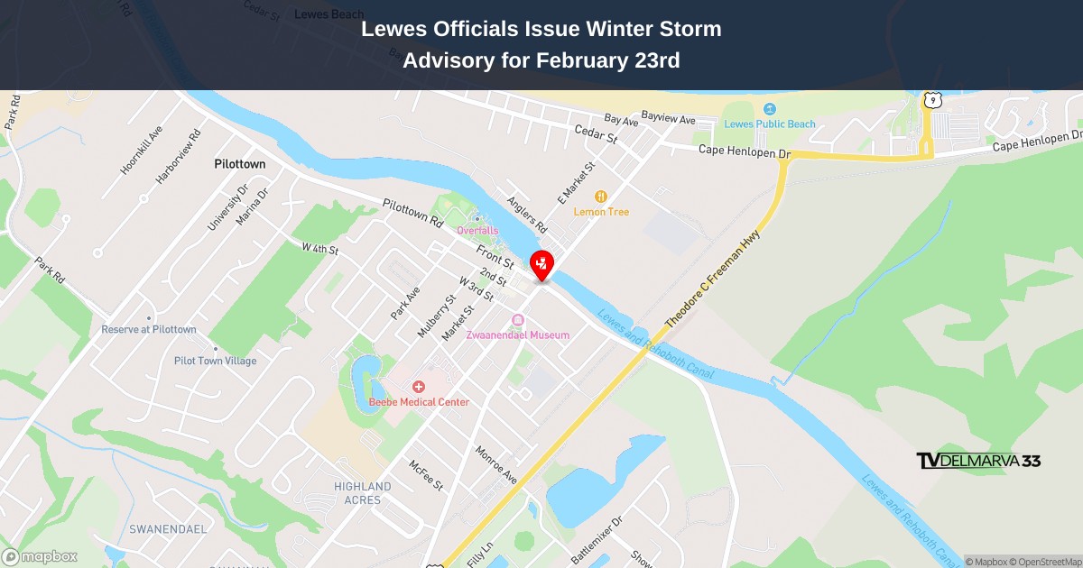
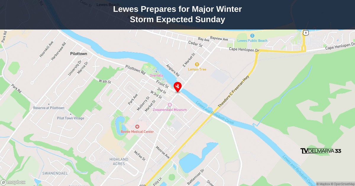
Municipal leaders in Lewes have issued fresh guidance concerning winter weather conditions expected to impact the coastal Delaware community on February 23rd, 2026.
The Lewes administration, working alongside the Board of Public Works, has distributed updated advisories to help residents prepare for the incoming storm system.
City officials are coordinating with utility services to ensure essential operations continue during the weather event, while keeping the public informed about any potential service disruptions or safety measures.
Residents are encouraged to monitor official city communications channels for the most current information as conditions develop throughout the day.
A major winter storm is causing widespread transportation chaos throughout the northeastern United States, bringing air and rail travel to a complete halt across large portions of the region.
Weather experts are warning that driving conditions have become extremely dangerous and nearly impossible in the areas experiencing the storm’s most severe impact. The harsh conditions have forced the suspension of flight operations and train services in numerous locations.
The storm’s intensity has created hazardous situations for anyone attempting to travel, with authorities strongly advising people to avoid unnecessary trips until conditions improve.
Delaware transportation officials announced updated travel restrictions across the state this morning, with conditions improving in the northern region while southern counties maintain strict advisories.
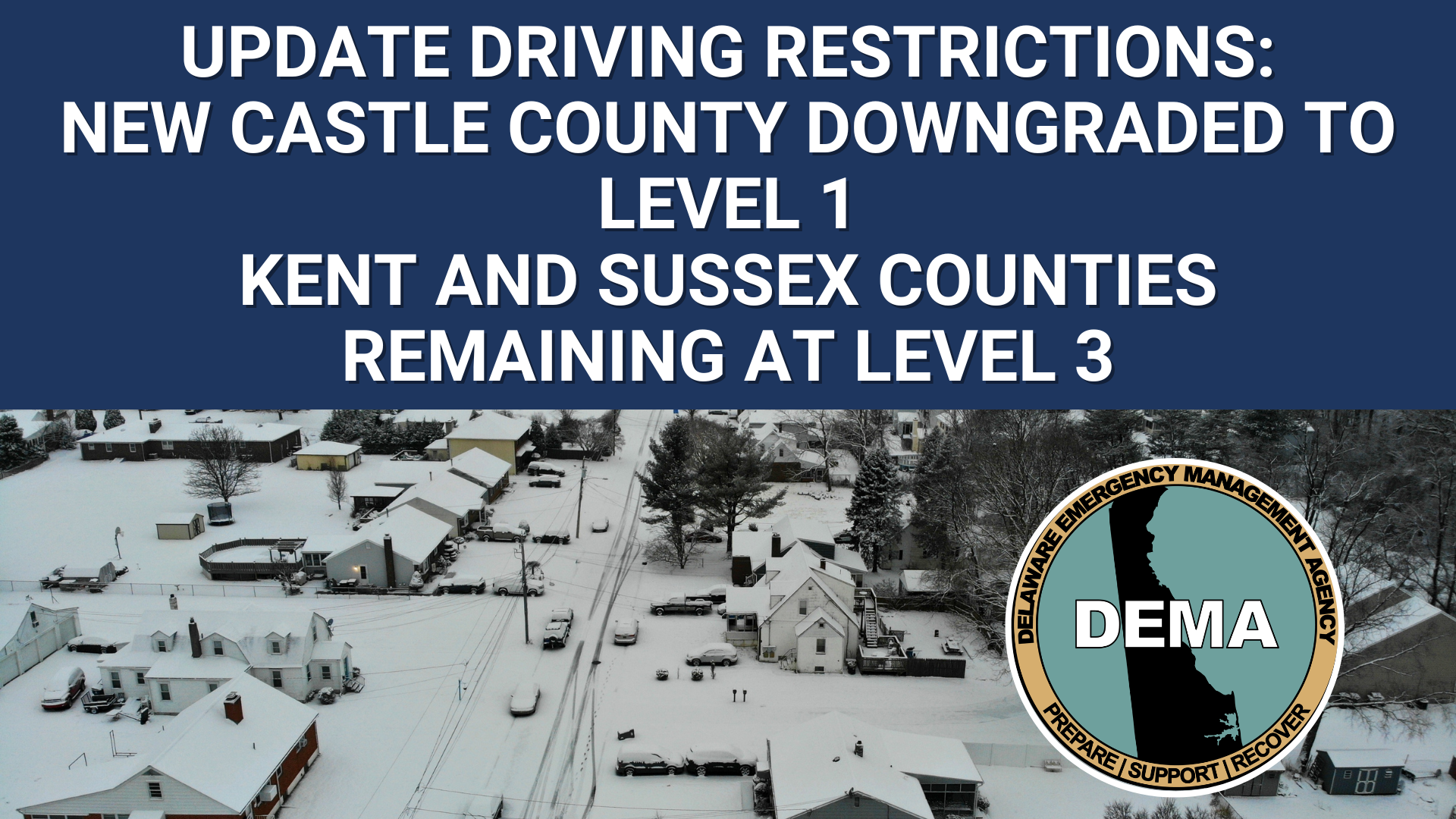
As of 11:00 a.m. today, New Castle County has been moved down to a Level 1 Driving Warning, which advises residents to stay off the roads unless they have essential safety, health, or business needs requiring travel. State officials continue to encourage all drivers to exercise extreme caution when venturing out.
Meanwhile, Kent and Sussex counties remain under Level 3 driving restrictions, the state’s most serious travel advisory. This designation typically indicates hazardous road conditions that pose significant risks to motorists.
The announcement originated from Smyrna, where state officials have been monitoring road conditions throughout the weather event. The varying restriction levels across Delaware’s three counties reflect the different impacts weather conditions are having on roadways from north to south.
Residents are encouraged to check current road conditions and heed all official travel advisories before making any non-essential trips.
Cambridge authorities are reaching out to the community with important reminders after the region experienced another major winter weather event that brought heavy snowfall with blizzard-like conditions.
The recent storm dumped significant amounts of snow across the area, prompting local officials to issue guidance to residents dealing with the aftermath of the severe weather.
This marks yet another instance where harsh winter conditions have impacted the Cambridge community, with Mother Nature delivering intense snowfall that created challenging conditions for residents.
The nation’s agricultural heartland is experiencing harsh winter conditions as frigid, windy weather dominates the region. Areas near the Great Lakes are seeing snow showers forming where lake waters remain unfrozen.
Monday morning brought particularly brutal conditions to the upper Midwest, where thermometers registered readings below zero degrees Fahrenheit. Most locations throughout the farming region will see temperatures stay below the freezing mark for the entire day, with only the southwestern portions of the Corn Belt and some areas within the Ohio Valley expected to climb above 32 degrees.
Snow cover continues to blanket much of the region as the seasonal weather pattern persists across America’s primary agricultural areas.
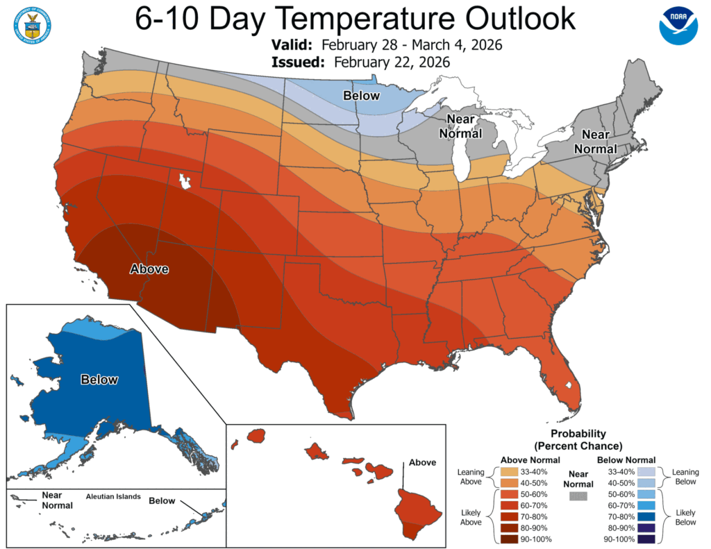
Weather forecasters are predicting an extended period of above-average temperatures for nearly the entire United States over the next week and a half. According to the extended forecast outlook, most of the country can expect warmer conditions than typically seen for this time of year.
The forecast shows that only the northernmost parts of the country are likely to experience temperatures at or below seasonal averages during this 6- to 10-day period. The rest of the nation should prepare for temperatures climbing above what’s considered normal for late winter.
Precipitation patterns are expected to vary dramatically across different regions. Western areas, particularly along the Pacific coastline, throughout the Desert Southwest, and in the northern Rocky Mountain region, are forecast to receive less rainfall than usual. In contrast, most other parts of the country should see typical or higher-than-average precipitation levels during this same timeframe.
This weather pattern represents typical seasonal activity for central portions of the United States, where dynamic weather systems frequently develop during late winter months.
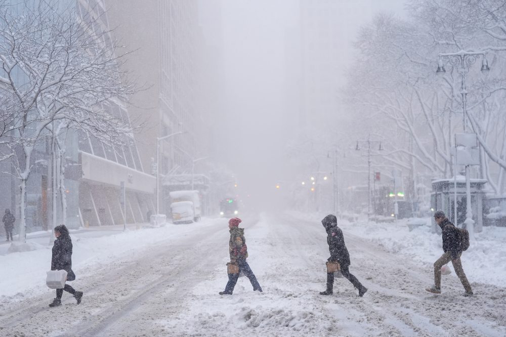
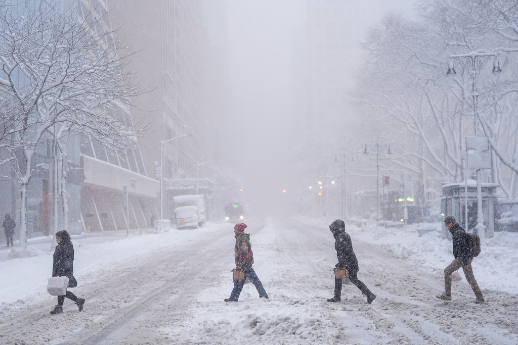
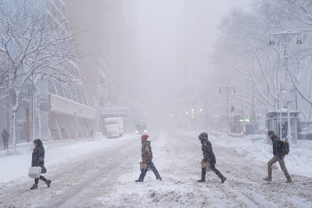
A powerful winter storm is wreaking havoc across the Northeast, forcing millions of residents from New York City through New England to remain indoors as authorities enforce travel restrictions and issue blizzard alerts throughout Monday.
The storm has been dumping snow at an aggressive pace of 2 to 3 inches per hour since early Monday morning, stretching from New York state up through Massachusetts. Multiple locations have already received more than 12 inches of accumulation since Sunday, accompanied by wind gusts exceeding 30 miles per hour that have created dangerous visibility conditions.
Air travel has been severely disrupted, with flight tracking service FlightAware reporting over 5,000 cancelled flights nationwide for Monday. The bulk of these cancellations have affected airports in New York, New Jersey, and Boston.
Meteorologists are describing this weather event as a “classic bomb cyclone/nor’easter off the Northeast coast.” This scientific term refers to storms that experience bombogenesis – a phenomenon where atmospheric pressure plummets by at least 24 millibars within a 24-hour period, according to the U.S. National Oceanic and Atmospheric Administration. The rapid pressure drop creates exceptionally strong storms that can generate severe precipitation, hurricane-force winds, and conditions leading to widespread power failures and fallen trees.
These rapidly intensifying weather systems typically form during autumn and winter months when Arctic air masses move southward and collide with warmer atmospheric conditions.
Transportation systems have ground to a halt in affected areas. Public transit services have been suspended in multiple cities, and food delivery company DoorDash halted operations in New York City overnight due to safety concerns.
“The combination of heavy snowfall and strong winds will continue to produce blizzard conditions along the Northeastern Seaboard,” weather officials stated Monday. “Sharply reduced visibility will make travel extremely treacherous across these areas.”
The National Weather Service has described current travel conditions as “nearly impossible” due to the combination of heavy precipitation and powerful winds creating whiteout scenarios.
Emergency alerts have been issued from Maryland northward to Maine. New York City residents received urgent mobile phone notifications Sunday evening announcing a prohibition on non-emergency vehicle travel through Monday afternoon due to “dangerous blizzard conditions.” Similar travel restrictions have been implemented in Rhode Island and New Jersey.
Snowfall totals across the region include 22.5 inches at Long Island MacArthur Airport, approximately 15 inches in Manhattan’s Central Park, around 18 inches in Newark, New Jersey, and 17 inches each in New London, Connecticut, and North Kingstown, Rhode Island.
Severe winter weather battering the mid-Atlantic and northern East Coast regions is expected to diminish Monday evening as a major storm system moves northeast toward Canada’s Maritime provinces. The powerful weather system has brought blizzard conditions to coastal areas from the Carolinas through New England.
Simultaneously, the Pacific Northwest will experience continued unsettled conditions through Wednesday, with precipitation in the form of rain and snow affecting areas from central California northward and extending into the northern Rocky Mountain region. Weather forecasters indicate that storm systems originating over the Pacific Ocean will continue moving eastward across the continental United States in the coming days.
Aviation operations ground to a halt throughout the northeastern United States on Monday as a severe winter storm delivered heavy snowfall and fierce winds to the region.
Flight disruptions mounted rapidly during Monday morning hours. By approximately 9:30 a.m. Eastern Time, close to 5,500 flights traveling to or from the United States had been cancelled, data from FlightAware showed. Additional hundreds of flights faced delays.
John F. Kennedy International Airport and LaGuardia Airport in New York experienced the most significant number of cancellations on Monday, with airports in Boston, Newark, New Jersey, and Philadelphia following close behind.
Weather officials described driving conditions as “extremely treacherous” and “nearly impossible” throughout the areas most severely impacted by the winter weather system.
The storm’s effects extended well beyond aviation disruptions, as millions of residents remained confined to their homes under mandatory travel restrictions during blizzard warnings. Sunday evening brought emergency alerts to mobile phones throughout New York City, announcing a prohibition on non-essential street travel lasting until Monday at noon due to “dangerous blizzard conditions.” Both Rhode Island and New Jersey enacted comparable travel limitations.
Ocean City, Maryland workers are tackling the aftermath of a significant winter storm that dumped more than a foot of snow across the coastal community overnight on February 23, 2026.
Municipal Public Works teams have joined forces with Maryland State Highway Administration personnel to salt and plow roadways across the resort town following the heavy snowfall that left over 12 inches of accumulation.
City officials are cautioning residents that driving conditions remain dangerous and are advising people to limit unnecessary travel as crews continue their snow removal operations throughout the area.
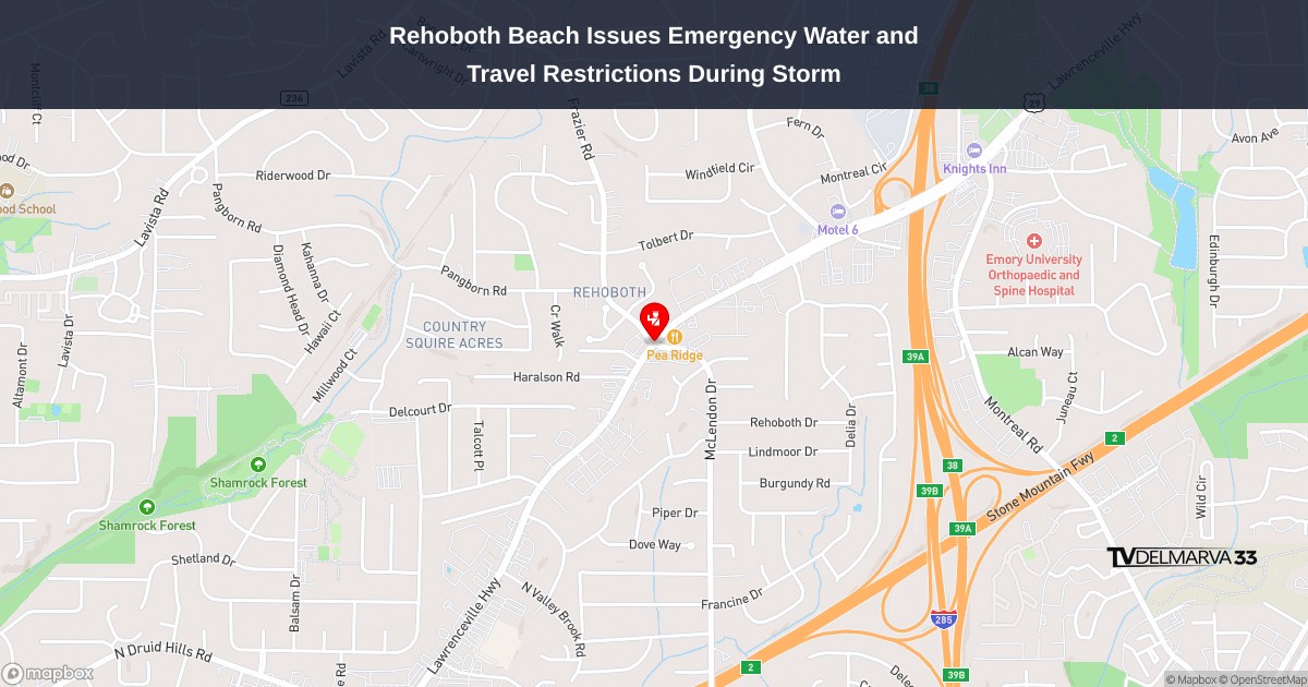
City officials in Rehoboth Beach are urging residents to drastically reduce water consumption following an electrical outage that has knocked out power to the municipal wastewater treatment plant. Residents are being asked to avoid using toilets and minimize all water usage while repair teams work around the clock to restore electrical service and prevent potential system failures.
Meanwhile, Sussex County officials have implemented the most severe travel restriction, a Level 3 driving ban, advising all motorists to stay home and avoid roadways. Municipal work teams are deployed across Rehoboth Beach addressing storm-related damage and hazards.
City representatives say they will provide regular updates as weather conditions and infrastructure situations evolve, thanking the community for their understanding and cooperation during what officials describe as a highly destructive weather event.
SMYRNA, Del. – State officials announced that Kent County will continue operating under a level 3 driving ban, while New Castle County maintains its level 2 driving restrictions until conditions improve.
Delaware transportation authorities are extending these emergency driving measures due to hazardous roadway conditions throughout both counties. The restrictions are designed to protect emergency personnel and essential workers by reducing non-critical vehicle traffic during dangerous weather conditions.
Officials have not provided a timeline for when these driving limitations will be lifted, stating they will remain active until road safety improves sufficiently to allow normal traffic patterns to resume.
Weather officials have issued a blizzard warning for the Delaware region, alerting residents to prepare for severe winter conditions throughout the day.
The National Weather Service office in Mount Holly, New Jersey issued the warning at 6:36 AM on February 23rd, with the alert scheduled to remain active until 6:00 PM the same evening.
Residents across the First State should take necessary precautions and stay updated on changing weather conditions as the storm system moves through the area.
Weather officials have issued a blizzard warning for the Delmarva region, alerting residents to prepare for dangerous winter conditions.
The National Weather Service office in Mount Holly, New Jersey activated the warning at 6:36 this morning on February 23rd. The alert will remain in effect until 6:00 this evening.
Residents should take necessary precautions and avoid unnecessary travel during the warning period. The blizzard conditions pose significant risks to public safety and transportation.
Local authorities recommend staying indoors and monitoring weather updates throughout the day as conditions develop.
Emergency management officials in Sussex County are continuing to warn drivers to avoid traveling on area roadways as hazardous conditions persist across the region.
The Delaware Emergency Management Agency along with Sussex County Emergency Management announced that the Level 3 driving ban remains active throughout Sussex County due to impassable road conditions.
Officials say the state-issued travel restriction will continue to protect emergency personnel and essential workers by reducing unnecessary vehicle traffic during the ongoing situation.
Authorities are strongly advising residents to remain home and avoid all non-essential trips until road conditions improve and the ban is lifted.
Delaware coastal communities are under a flood advisory issued by the National Weather Service office in Mount Holly, New Jersey, beginning Friday morning at 4:46 AM and continuing through 5:00 PM.
The weather service is alerting residents along the Delaware coast to expect possible flooding in vulnerable low-lying areas during high tide cycles throughout the day.
Local authorities recommend that residents in flood-prone coastal zones take necessary precautions and monitor conditions closely during the advisory period.
Delaware’s coastal communities were placed under a brief flood warning early Friday morning as weather officials monitored potentially dangerous conditions along the shore.
The National Weather Service office in Mount Holly, New Jersey issued the coastal flood warning at 3:52 AM on February 23rd, with the advisory remaining active until 5:00 AM EST the same day.
The short-duration warning covered Delaware’s oceanfront and bayside areas where flooding conditions were expected to develop during the early morning hours.
Weather officials from the Mount Holly office, which provides forecasts and warnings for the Delaware region, issued the alert to give residents advance notice of the potential flooding threat.
Delaware residents are facing dangerous blizzard conditions today as the National Weather Service Mount Holly office issued a blizzard warning that took effect at 2:39 AM this morning.
The warning will remain active through 6:00 PM this evening, with meteorologists cautioning residents about hazardous winter weather conditions across the region.
Local authorities are urging residents to avoid unnecessary travel and to take proper precautions during the severe weather event.
Weather officials have issued a blizzard warning for Delaware and surrounding areas, alerting residents to dangerous winter conditions expected to persist throughout the day.
The National Weather Service office in Mount Holly, New Jersey activated the warning at 2:39 AM this morning, with the alert remaining in effect until 6:00 PM today.
Residents across the Delmarva Peninsula should prepare for severe winter weather conditions and take necessary precautions for travel and outdoor activities during the warning period.
Weather forecasters from the National Weather Service Mount Holly office released a special weather statement for Delaware and surrounding areas at 2:02 AM on Saturday, February 23rd.
The alert was distributed through the agency’s official notification system to keep residents informed about current meteorological conditions affecting the region.
Local residents are encouraged to monitor weather updates and take appropriate precautions as conditions warrant. The Mount Holly office serves as the primary weather forecasting center for Delaware and the broader Mid-Atlantic region.
Further details about specific weather conditions and any recommended actions will be provided as additional information becomes available from meteorologists.
A massive winter storm is wreaking havoc across the northeastern United States, forcing students to stay home Monday as educational institutions shut down and transportation systems scramble to adjust to emergency protocols amid warnings of dangerous conditions.
The severe weather system has created widespread travel chaos from Washington D.C. through New England, with airlines grounding thousands of flights while authorities strongly advise residents to avoid roadways. Mail and package delivery services will also face significant delays due to the harsh winter conditions, according to postal officials.
New York City’s public school system, the country’s biggest, announced a complete closure of all campus facilities Monday, canceling both in-person classes and extracurricular activities without offering virtual learning alternatives.
Mayor Zohran Mamdani issued an emergency declaration and banned non-essential vehicles from city streets starting Sunday evening through Monday midday, explaining that snow removal equipment and emergency responders required clear access as precipitation intensified. The metropolitan area is experiencing its first blizzard alert since 2017.
Municipal buildings will remain closed to the public, while non-critical city workers have been authorized to work from home. “I’m urging every New Yorker to please stay home,” Mamdani stated.
New York Governor Kathy Hochul mobilized 100 National Guard personnel to provide assistance in Long Island, New York City, and the Lower Hudson Valley regions, which are anticipated to experience the most severe snowfall and coastal wind impacts. The severe weather also prompted the closure of the United Nations headquarters facility in Manhattan Monday.
Weather forecasters predict certain northeastern regions could receive as much as 24 inches of snow, while wind speeds may reach 70 mph, creating significant risks for downed trees and electrical outages, the Department of Homeland Security reported.
In a Sunday briefing, the department confirmed that despite current funding interruptions, the Federal Emergency Management Agency continues its disaster response operations without disruption, including personnel deployment, emergency coordination, and vital assistance for disaster victims, with public safety and property protection remaining primary concerns.
Previous reports indicated that President Donald Trump’s administration had directed FEMA to halt the deployment of hundreds of relief workers to disaster zones nationwide during the DHS shutdown.
Massachusetts Governor Maura Healey issued an emergency proclamation and instructed state employees to remain home. Connecticut prohibited commercial trucks from controlled-access roadways Sunday evening, making exceptions only for emergency and essential supply deliveries.
New Jersey Governor Mikie Sherrill announced a statewide emergency beginning Sunday at noon and emphasized the storm’s severity to residents. “People need to take this very seriously,” she told CNN.
Aviation suffered immediate impacts, with flight tracking services showing over 5,000 Monday flights already grounded. Industry analysts noted that more than 25,000 flights were originally scheduled to depart U.S. airports Monday, with Tuesday cancellations also increasing, particularly at major northeastern hubs.
NJ TRANSIT ceased bus, light rail, and accessibility services Sunday evening and discontinued all rail operations by Sunday night, with service restoration dependent on improved conditions.
Throughout New England, the Rhode Island Public Transit Authority announced complete service suspension, including specialized transportation programs, from Sunday night through Monday, stating they would only announce resumption plans when weather conditions permit.
Motorists in the Georgetown area will need to find alternate routes as a portion of Sand Hill Road remains blocked by a fallen tree.
Delaware Department of Transportation officials have shut down Sand Hill Road between East Redden Road and Donovan Road after the tree came down across the travel lanes.
DelDOT crews are working to clear the obstruction and reopen the roadway to normal traffic flow. No timeline has been provided for when the road closure will be lifted.
Drivers are advised to seek alternative routes and expect potential delays in the area until the tree removal is completed.
Traffic is being rerouted on Sandtown Road after a tree fell and blocked the roadway near Amsterdam Road.
Delaware Department of Transportation officials report the road closure is necessary while crews work to remove the fallen tree and clear the path for vehicles.
Drivers traveling through the area should expect delays and plan alternative routes until the obstruction can be safely cleared and normal traffic flow restored.
A fallen tree has forced authorities to shut down Park Brown Road near Fox Hunters Road, creating a traffic obstruction for local drivers.
The Delaware Department of Transportation reported the road closure due to the tree blocking the travel lanes. Crews are working to remove the debris and restore normal traffic flow to the area.
Motorists are advised to seek alternate routes while cleanup efforts continue. DelDOT has not provided an estimated time for when the roadway will fully reopen.
A fallen tree has forced Delaware transportation officials to shut down a section of Double Bridges Road, blocking traffic between Old Church Cemetery Road and Camp Barnes Road.
The Delaware Department of Transportation reported the road closure due to the tree obstruction in the travel lanes. Crews are working to remove the debris and restore normal traffic flow to the area.
Motorists are advised to seek alternate routes while the cleanup operation is underway. DelDOT has not provided an estimated time for when the roadway will reopen to traffic.
A fallen tree has completely blocked traffic on Kenton Road, prompting authorities to close the roadway to all vehicles.
The Delaware Department of Transportation reports the tree came down on Kenton Road in the area between Wimbledon Drive and West Denneys Road, making the road impassable.
Motorists are advised to avoid the area and use alternative routes until crews can remove the tree and reopen the roadway. No timeline has been provided for when the closure will be lifted.
The National Weather Service office in Mount Holly, New Jersey has issued a special weather statement affecting the Delmarva Peninsula region.
The weather alert was released on Friday, February 22nd at 10:31 PM Eastern Standard Time, providing residents with important information about current atmospheric conditions in the area.
Local residents are advised to monitor weather conditions and stay tuned to TV Delmarva for the latest updates on any developing weather situations that may impact travel or daily activities across Delaware and the surrounding region.
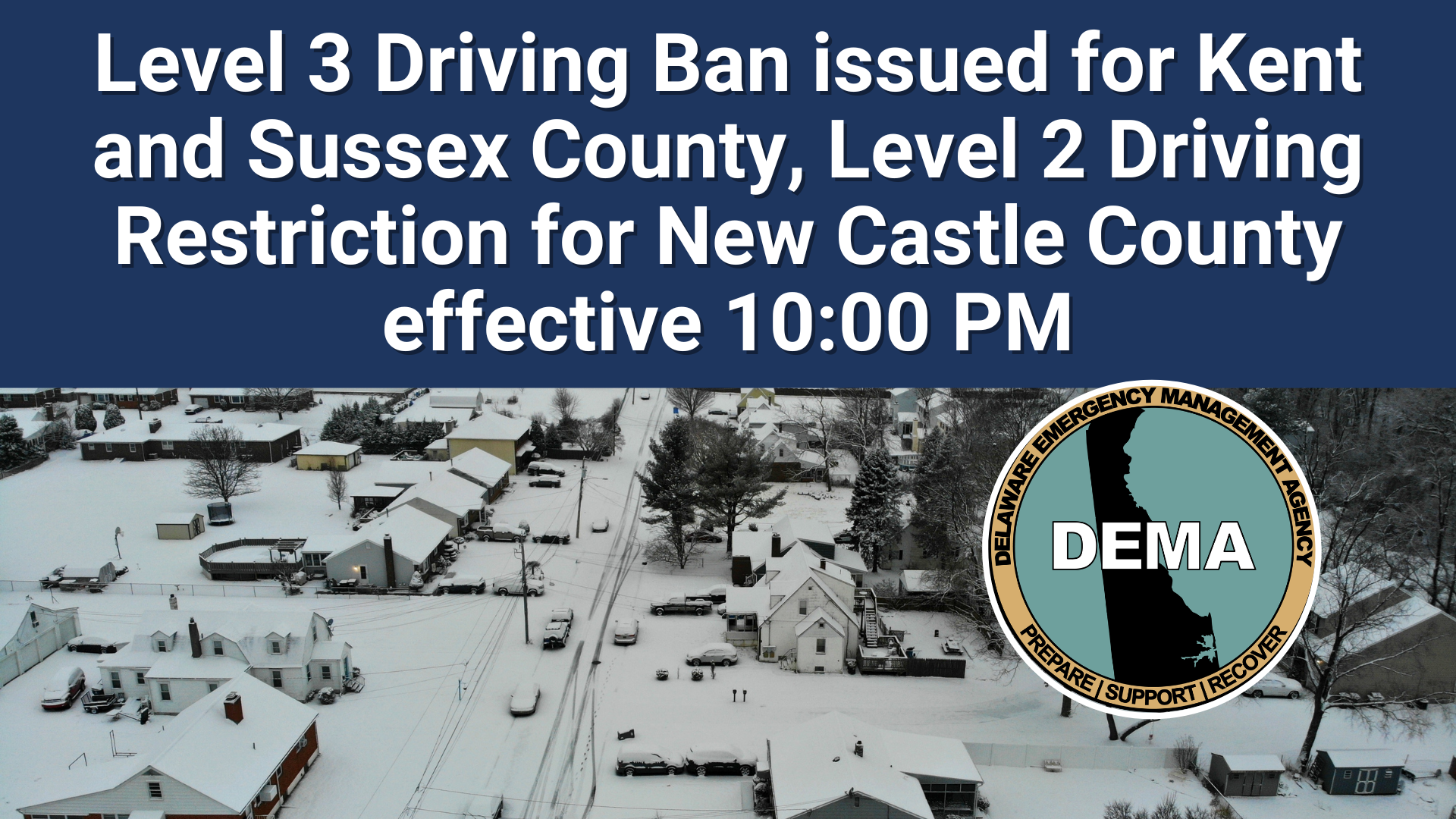
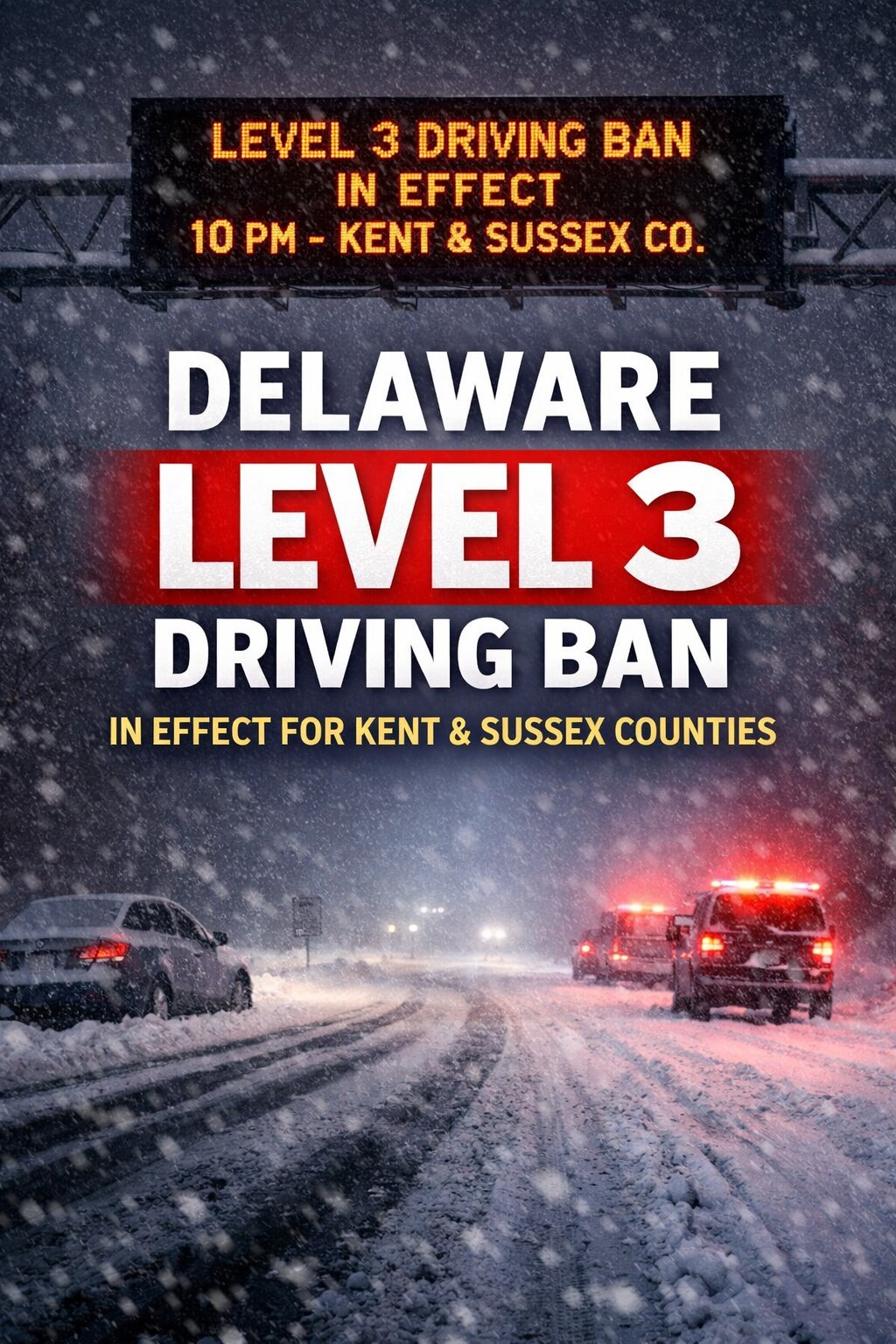
Delaware officials have announced statewide driving restrictions that will begin tonight at 10 PM as severe weather threatens the First State.
Governor Matthew Meyer declared a Level 3 driving ban for Kent and Sussex counties, the most restrictive level that prohibits nearly all vehicle travel. Meanwhile, New Castle County will operate under Level 2 driving restrictions, which allow limited travel for essential purposes only.
State officials implemented these emergency measures to protect both emergency response teams and essential workers who must remain on the roads during hazardous weather conditions. The restrictions aim to reduce unnecessary vehicle traffic while dangerous conditions persist across Delaware.
The driving bans will continue until weather conditions improve and roads become safe for regular travel. Residents are urged to avoid all non-essential trips during this period to help keep Delaware’s roadways clear for emergency vehicles and critical personnel.
Governor Matthew Meyer announced the restriction Sunday evening in coordination with the Delaware Emergency Management Agency and the Delaware Department of Transportation, citing dangerous road conditions caused by heavy snowfall, strong winds, and blowing snow.
The Level 3 ban applies to all roadways in Kent County and Sussex County and will remain in effect until further notice.
Under a Level 3 Driving Ban, all nonessential travel is prohibited. Only authorized emergency personnel, first responders, essential workers, public utility crews, and snow removal operators are permitted on the roads. Officials say the restriction is necessary to protect public safety and allow crews to clear highways and respond to emergencies without interference.
State officials warned that travel conditions have deteriorated rapidly this evening as snowfall rates increased and wind gusts intensified. Blowing and drifting snow is reducing visibility and creating hazardous driving conditions across much of southern Delaware.
The Level 3 ban is the highest tier in Delaware’s winter weather travel restriction system. Earlier in the day, the state had issued lower level driving restrictions before conditions worsened.
Motorists who violate the ban may be subject to penalties under Delaware law.
Residents are urged to remain indoors, avoid unnecessary travel, and monitor official updates from state agencies. Officials say conditions will continue to be evaluated overnight, and any changes to the driving ban will be announced as road conditions improve.
Motorists will need to find alternate routes along a section of Savannah Road where a fallen tree has made the roadway impassable.
Delaware Department of Transportation officials report that Savannah Road is currently blocked between Rudd Road and Treatment Plant Lane due to the tree obstruction.
Drivers are advised to use alternative routes until crews can remove the tree and reopen the roadway to normal traffic flow.
Traffic is being detoured around a section of Cedar Neck Road after a tree fell and blocked the roadway at the Shockley Road intersection.
Delaware Department of Transportation officials have shut down the affected area while crews work to remove the fallen tree and restore normal traffic flow.
Drivers are encouraged to seek alternative routes and expect delays in the vicinity until the roadway can be safely reopened.
No timeline has been provided for when the road closure will be lifted.
Delaware transportation officials have blocked off a portion of Woodpecker Road after a tree fell across the roadway.
The Delaware Department of Transportation reports the closure affects Woodpecker Road in the vicinity of its intersection with Green Briar Road. Motorists are advised to find alternate routes while crews work to clear the obstruction.
No timeline has been provided for when the roadway will reopen to traffic.
Delaware residents are under a blizzard warning issued by the National Weather Service’s Mount Holly, New Jersey office on February 22nd at 9:41 PM Eastern Standard Time.
The severe weather alert remains in effect through February 23rd until 6:00 PM EST, indicating dangerous winter storm conditions are expected or already occurring across the region.
Blizzard warnings are issued when sustained winds or frequent gusts of 35 mph or greater are expected along with considerable falling or blowing snow, reducing visibility to less than a quarter mile for three hours or more.
Residents should prepare for hazardous travel conditions and potential power outages during this weather event. The National Weather Service advises avoiding unnecessary travel while the warning remains active.
The National Weather Service office in Mount Holly, New Jersey has issued a blizzard warning for the Delmarva Peninsula region that went into effect at 9:41 PM on February 22nd and will remain active until 6:00 PM on February 23rd.
This weather alert indicates that severe winter storm conditions are expected to impact Delaware and surrounding areas of the Eastern Shore during this period.
Residents throughout the Delmarva region should take necessary precautions and prepare for hazardous travel conditions and potential power outages during the warning period.
The warning was officially issued through the National Weather Service’s alert system and covers areas under the jurisdiction of the Mount Holly forecast office.
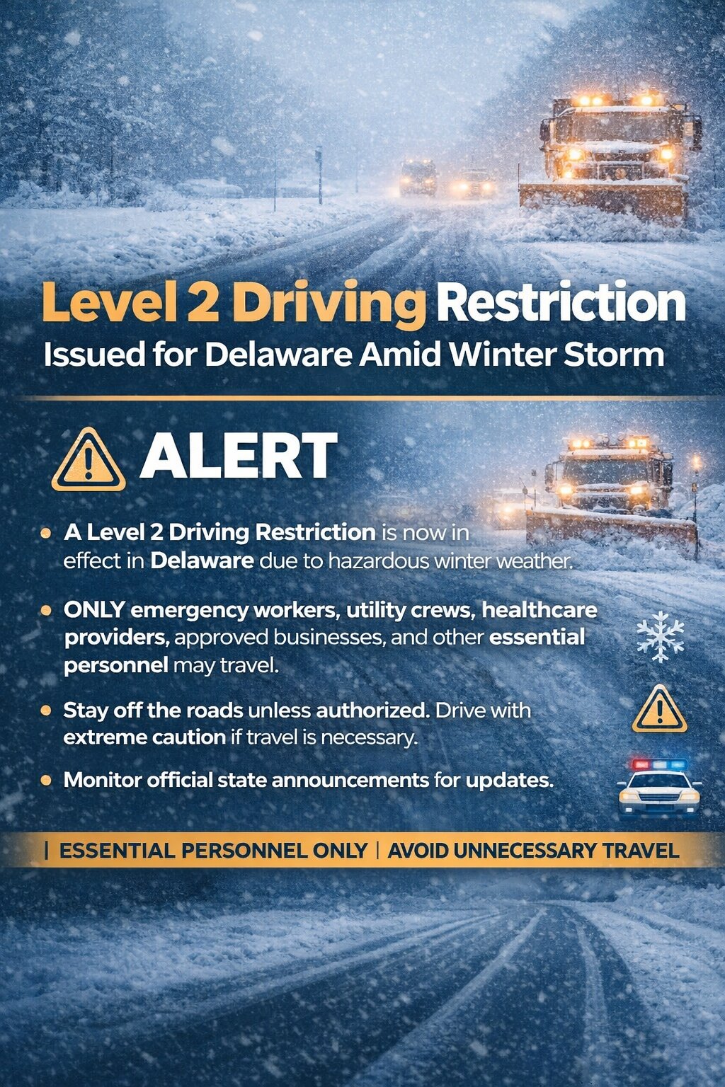
Level 2 Driving Restriction Issued for Delaware Amid Winter Storm
A Level 2 Driving Restriction is now in effect across the state of Delaware as hazardous winter weather continues to impact road conditions statewide.
Under a Level 2 restriction, travel on Delaware roadways is limited to essential personnel only. This includes emergency workers, public utility crews, healthcare providers including hospital staff, public and private snow removal operators, private sector food and fuel delivery services, and industries, companies, or organizations that have been granted a waiver. Businesses facing critical continuity or operational concerns may also qualify under the restriction.
State officials say the decision was made due to deteriorating road conditions caused by heavy snow, blowing snow, and reduced visibility. With snow continuing to fall and winds increasing, travel has become increasingly dangerous, especially on secondary roads and untreated surfaces.
Officials strongly urge residents to stay off the roads unless they fall into one of the approved categories. Limiting traffic allows plow crews and emergency responders to operate more safely and efficiently during the height of the storm.
Drivers who are authorized to travel should use extreme caution, expect snow-covered and icy roads, and be prepared for rapidly changing conditions.
There is also the potential for further upgrades if conditions continue to worsen.
Residents are encouraged to monitor official state announcements for updates and to follow all guidance from local and state authorities as the winter storm unfolds.
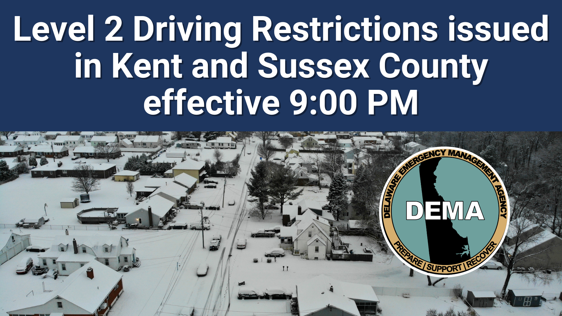
Delaware Governor Matthew Meyer announced a Level 2 driving restriction for Kent and Sussex counties that takes effect tonight at 9:00 p.m., with no end time specified.
The state-imposed travel limitations are designed to protect emergency personnel and other critical drivers by reducing unnecessary vehicle traffic during hazardous weather conditions and dangerous roadway situations.
Officials have not indicated when the driving restrictions will be lifted, stating they will remain active until further notice.
Delaware state government operations will come to a halt Monday as officials announce the closure of all state offices throughout New Castle, Kent, and Sussex counties on February 23, 2026.
The shutdown will affect normal business operations from 8 a.m. through 4:30 p.m. as severe weather conditions pose safety concerns for state workers and the public.
Workers classified as non-essential have been instructed to stay home during the closure period. However, personnel previously identified as critical for emergency weather response will continue reporting to their assigned posts as planned.
The statewide closure affects government facilities in all three Delaware counties as officials prioritize public safety during the anticipated severe weather event.
Weather officials have issued a coastal flood advisory for Delaware’s coastal regions, warning residents of potential flooding conditions along the shoreline.
The National Weather Service office in Mount Holly, New Jersey issued the advisory Thursday evening at 6:40 PM, with the warning remaining active until 4:00 AM Friday morning.
Coastal areas of Delaware may experience minor to moderate flooding during this timeframe, particularly during high tide cycles. Residents and visitors in affected areas should exercise caution when traveling near waterfront locations and low-lying coastal roads.
The weather service advises drivers to avoid flooded roadways and reminds the public that it only takes a small amount of moving water to sweep away a vehicle.
The National Weather Service office in Mount Holly, New Jersey has issued a coastal flood warning for Delaware’s coastal regions, effective from Thursday, February 22 at 6:40 PM through Friday, February 23 at 5:00 AM.
Delaware residents along the coast should prepare for potential flooding conditions during this timeframe. The warning covers areas most susceptible to coastal flooding during high tide cycles and adverse weather conditions.
Local authorities recommend that residents in flood-prone coastal areas take necessary precautions and avoid driving through flooded roadways. Property owners near the shoreline should secure loose items and be prepared for possible water intrusion.
The weather service will continue monitoring conditions and may extend or modify the warning as circumstances change.
A powerful winter storm is pummeling the Northeast region, prompting officials to issue blizzard warnings as communities brace for potentially historic snowfall amounts.
The storm system is expected to dump significant snow accumulations across a wide swath of the region, with forecasters predicting that areas from New Jersey up through Massachusetts could receive as much as 2 feet of snow before the system moves out.
New York City officials are taking the threat seriously, with the mayor stating that the city had not “seen a storm like this in a decade.”
Transportation systems are already feeling the impact, with snow beginning to accumulate on roadways and affecting rail services. Images from the storm show the New Jersey Light Rail continuing operations despite heavy snowfall at stations like Port Imperial in Weehawken.
Residents throughout the affected region are being urged to prepare for dangerous travel conditions and potential power outages as the storm system continues to intensify.
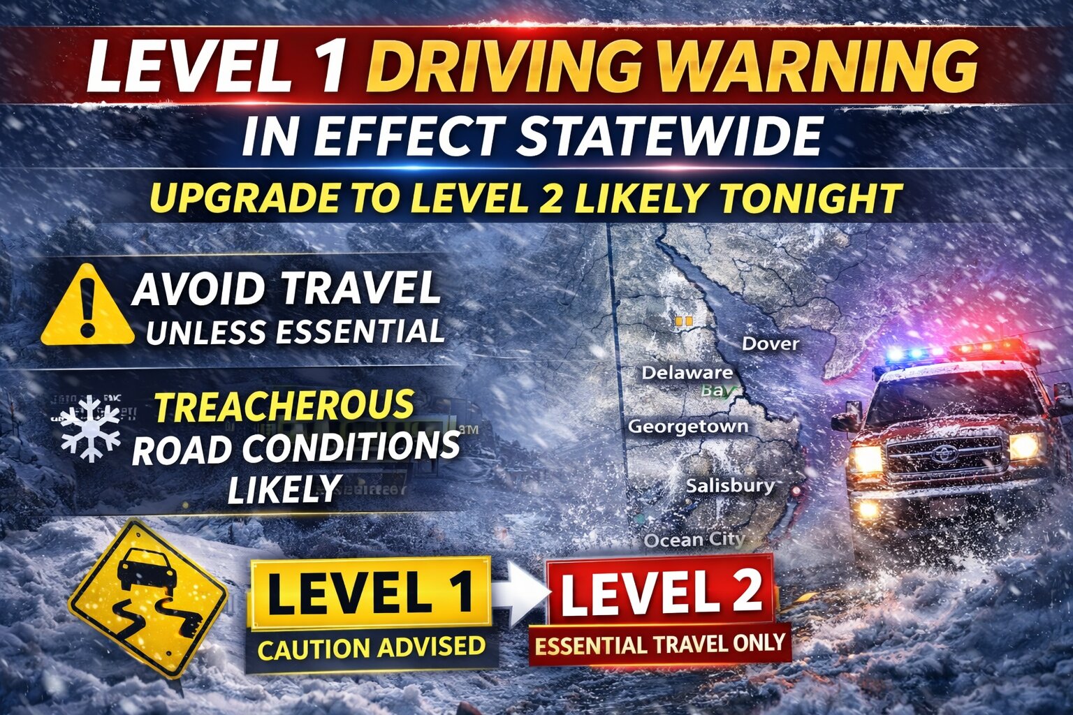
Delaware officials have issued a statewide Level 1 Driving Warning as a powerful winter storm continues to bring heavy snow, strong winds, and deteriorating road conditions across the First State.
The warning urges motorists to use extreme caution and avoid travel unless absolutely necessary. Under a Level 1 Driving Warning, drivers are strongly encouraged to stay off the roads unless travel is essential for safety, health, or critical business reasons.
State leaders say road conditions are expected to worsen through the evening as snowfall intensifies and winds increase, leading to reduced visibility, slick surfaces, and drifting snow. Emergency management officials warn that conditions could become increasingly hazardous overnight.
Authorities are also cautioning that an upgrade to a Level 2 Driving Restriction is possible later tonight if road conditions continue to deteriorate. A Level 2 restriction would limit travel to essential personnel only, including emergency responders, healthcare workers, and critical infrastructure employees.
The Delaware Emergency Management Agency continues coordinating response efforts statewide, and officials are urging residents to monitor updates closely.
Drivers are advised to slow down, allow extra distance between vehicles, and check the latest road conditions before traveling. Residents are also encouraged to prepare for possible power outages and ensure they have necessary supplies on hand.
Officials emphasize that staying off the roads during the height of the storm will help keep emergency routes clear and ensure public safety as conditions worsen.
Delaware Governor Matthew Meyer has declared a Level 1 Driving Warning across all of Delaware, taking effect immediately as part of the ongoing State of Emergency declaration.
The statewide driving advisory will continue indefinitely, according to state officials. Authorities warn that more severe driving restrictions could be implemented if roadway conditions continue to deteriorate throughout the evening hours.
The driving warning advises motorists to exercise extreme caution while traveling on Delaware roads and to avoid unnecessary trips during the emergency conditions.
The National Weather Service office in Wakefield, Virginia has issued a blizzard warning for Ocean City, Maryland, which remains in effect through Monday evening, February 23, 2026.
The popular resort destination is preparing for dangerous winter weather conditions, including significant snowfall accumulations, powerful wind gusts, and severely limited visibility caused by blowing and drifting snow.
Weather officials are warning residents and any remaining visitors in the area to take the storm seriously as conditions are expected to deteriorate rapidly.
Delaware remains under an emergency declaration as hazardous blizzard conditions are expected to continue impacting the region through Monday.
Officials are warning residents that travel restrictions could be put in place as weather conditions worsen throughout the area. Authorities are strongly encouraging people to stay home and avoid any trips that are not absolutely necessary.
Emergency management officials are advising residents to make preparations now and to reach out to elderly or vulnerable neighbors who might require help during the severe weather event.
Residents are encouraged to monitor official emergency management channels and trusted news sources for the latest updates as the dangerous weather situation continues to develop.
Officials in Lewes provided their latest winter weather briefing this afternoon as storm conditions affect the coastal Delaware community.
The municipal government issued its most recent storm-related information at 3:00 p.m. today, February 22, 2026, keeping residents informed about developing weather conditions in the area.
City administrators continue monitoring the situation and plan to release additional updates as circumstances warrant throughout the remainder of the storm event.
Governors throughout the Northeast have declared states of emergency as a powerful winter storm threatens to blanket the region with up to two feet of snow and dangerous winds.
The severe weather system prompted emergency declarations in New York, New Jersey, Connecticut, and Massachusetts, with officials implementing widespread travel restrictions for non-essential trips. Air travel has been severely disrupted, with more than 15,000 flights experiencing delays by Sunday afternoon and over 3,500 flights completely canceled. The heaviest impact hit major airports including JFK, La Guardia, and Newark.
New York City Mayor Zohran Mamdani implemented strict traffic restrictions, shuttering city streets to all non-essential vehicles, bicycles, and scooters from 9 p.m. Sunday through 12 p.m. Monday. The city also announced the closure of all school buildings during the storm.
Connecticut Governor Ned Lamont followed suit with his own transportation restrictions, prohibiting commercial vehicles from using state highways beginning at 5 p.m. Sunday. Meanwhile, Massachusetts Governor Maura Healey not only declared an emergency but also called up to 200 National Guard personnel to assist with storm response. The Bay State also implemented its own non-essential travel ban starting Sunday evening.
New York Governor Kathy Hochul deployed 100 National Guard members to assist areas expected to be hardest hit, including Long Island, New York City, and the Lower Hudson Valley region.
Wicomico County leadership activated emergency protocols Sunday afternoon as severe winter weather approaches the Eastern Shore region.
County officials implemented the emergency declaration at 2:30 p.m. on February 22, 2026, positioning local resources ahead of the anticipated storm system.
The emergency status enables county departments to coordinate response efforts and deploy necessary resources to address weather-related challenges that may impact residents and infrastructure.
Government facilities will remain closed on February 23, 2026, as part of the emergency response measures.
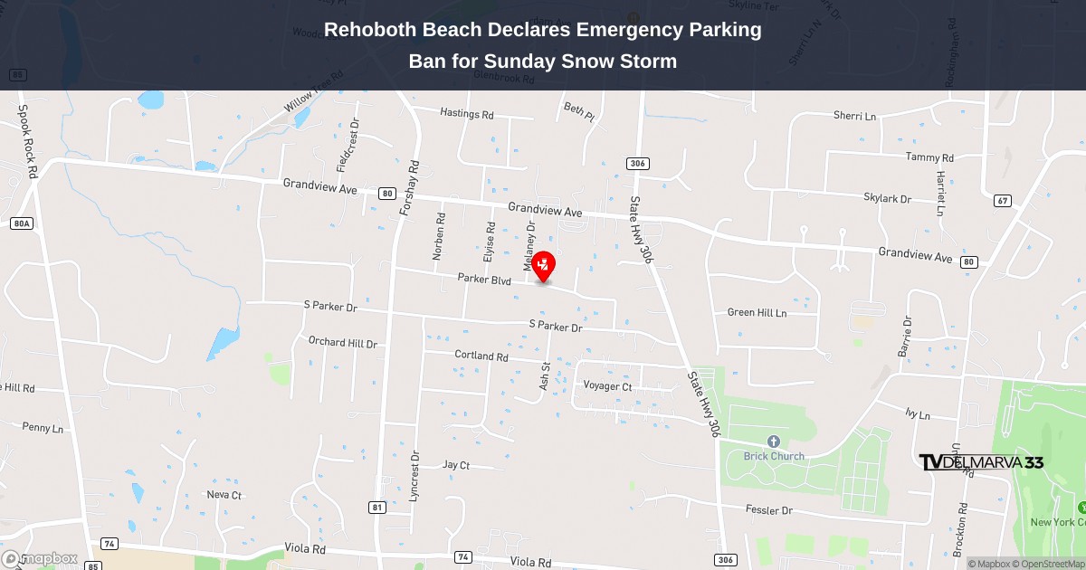
City officials in Rehoboth Beach have announced emergency snow route restrictions starting Sunday evening as a winter storm approaches the coastal community with expected snowfall accumulation.
The City Manager has authorized the activation of special weather emergency routes designed to keep critical roadways clear for safe passage, effective snow clearing operations, and unimpeded access for first responders throughout the winter weather event.
All vehicles must be removed from Rehoboth Avenue, Bayard Avenue, and State Road by 7:00 PM on Sunday, February 22nd. The parking ban will continue until municipal snow clearing crews finish their work.
City officials have outlined specific requirements while the emergency declaration is active:
No vehicles may park on either side of Rehoboth Ave., Bayard Ave., or State Road
Cars left in restricted areas will receive citations and be towed with all costs charged to owners
Property owners should utilize private driveways or find off-street parking spaces
All motorists must give right-of-way to snow plows and emergency response vehicles
Blocking or interfering with snow removal crews is strictly forbidden
Citizens are asked to ensure fire hydrants remain clear and reachable
Should the Governor implement county-wide driving limitations for Sussex County, complete information is available at: SnowDEDrivingRestrictions.pdf
For emergency situations, dial 911. Non-urgent matters can be reported to 302-227-2577.
Weather officials have issued a coastal flood advisory for the Delmarva Peninsula that began Thursday afternoon at 1:02 PM and will continue until 4:00 AM Friday morning.
The National Weather Service office in Mount Holly, New Jersey issued the alert on February 22nd, warning residents of potential tidal flooding along coastal areas throughout the advisory period.
Local residents in flood-prone areas should monitor conditions and take necessary precautions during high tide cycles while the advisory remains active.
Delaware coastal areas are under a flood warning issued by the National Weather Service Mount Holly office on Thursday afternoon.
The warning went into effect at 1:02 PM on February 22nd and will remain active until 5:00 AM on February 23rd.
Residents and visitors along Delaware’s coastline should prepare for potential flooding conditions during this timeframe.
The National Weather Service typically issues coastal flood warnings when conditions are expected to cause significant flooding that poses a threat to life and property in low-lying coastal areas.
The National Weather Service office in Mount Holly, New Jersey has declared a blizzard warning for the Delmarva Peninsula region, effective from Friday, February 22 at 1:23 PM through Saturday, February 23 at 6:00 PM.
Weather officials are urging residents across Delaware and the Eastern Shore to prepare for dangerous winter conditions as the storm system approaches the area.
The warning indicates that significant snowfall, strong winds, and reduced visibility are expected to create hazardous travel conditions throughout the weekend period.
Local authorities recommend that residents avoid unnecessary travel during the warning period and ensure they have adequate supplies in case of power outages or other weather-related emergencies.
Salisbury officials have activated an emergency declaration that takes effect at 8:00 p.m. tonight, shutting down city operations for Monday, February 23.
The emergency order will continue until city leaders decide to lift it or Maryland state officials make additional determinations. Weather forecasters predict ongoing precipitation through today and into the overnight hours, with officials particularly worried about refreezing conditions that could create treacherous black ice on roadways.
All municipal offices and facilities will remain shuttered on Monday, February 23.
Street Maintenance and Public Safety
Details about snow clearing operations and designated emergency routes can be accessed through the city’s official website.
City maintenance crews will work around the clock to keep municipal streets passable. Officials are urging citizens to remain at home when possible and avoid parking on emergency routes to allow plow trucks to operate effectively.
Requirements for Sidewalk and Fire Hydrant Clearing
Building and property owners along city streets must remove snow from adjacent sidewalks within 24 hours once snowfall stops, ensuring a minimum four-foot-wide walkway for safe pedestrian passage. Citizens living near fire hydrants must shovel out a three-foot clearance around these emergency fixtures to ensure first responders can access them quickly. Officials warn against dumping or shoveling snow into roadways, which creates additional dangers and complicates street clearing operations.
Municipal Services
Garbage and recycling pickup scheduled for Monday, February 23 has been rescheduled to Saturday, February 28.
The Salisbury Zoo will remain closed on Monday, February 23.
Wicomico County has similarly announced that county offices will be closed Monday.
The scheduled City Council session for Monday will likely be moved to Tuesday, February 24.
Critical personnel from the Salisbury Police Department and Salisbury Fire Department will continue normal operations. Citizens needing emergency water service shutoffs should call the police non-emergency number at 410-548-3165.
Additional details about snow removal operations and ongoing storm updates are available at https://salisbury.md/ and through the city’s Facebook and Instagram social media accounts.
Delaware Governor Matthew Meyer issued an emergency declaration at noon today as the First State prepares for a significant winter storm heading toward the region.
The emergency order, announced from Smyrna, enables state officials to deploy resources across Delaware and coordinate response efforts for the approaching severe weather system. The Delaware Emergency Management Agency is urging residents throughout the state to make necessary preparations immediately.
As part of the emergency response, the National Guard has been activated to assist with storm-related operations. Officials indicate that travel restrictions are very likely to be implemented as conditions deteriorate.
The emergency declaration provides state authorities with the legal framework to mobilize personnel, equipment, and other critical resources needed to address the winter storm’s impacts on Delaware communities.
DEMA officials are emphasizing the importance of public readiness as the storm approaches, encouraging residents to stock up on essential supplies and avoid unnecessary travel once conditions begin to worsen.
The National Weather Service office in Mount Holly, New Jersey has issued a blizzard warning for the Delmarva Peninsula that took effect at 1:23 PM on February 22nd and will remain active until 6:00 PM on February 23rd.
Weather officials are urging residents across Delaware and the Eastern Shore to prepare for severe winter conditions as the storm system moves through the region.
The warning indicates that dangerous blizzard conditions with heavy snow, strong winds, and severely reduced visibility are expected to impact travel and daily activities throughout the warning period.
Residents should monitor weather conditions closely and avoid unnecessary travel during the storm. Emergency officials recommend having adequate supplies and staying indoors when conditions deteriorate.
(Smyrna, Del.) — Delaware officials have declared a State of Emergency as a powerful winter storm approaches the Delmarva Peninsula and southern New Jersey, prompting statewide preparations and emergency response mobilization.
Governor Matt Meyer signed the emergency declaration effective noon Sunday, citing the potential for crippling snow, strong winds, and increased coastal flooding risk. The action authorizes the state to marshal critical resources, including the activation of the Delaware National Guard to assist with storm response and safety operations.
“I’m declaring a State of Emergency and activating every available state resource to ensure Delawareans are protected as this blizzard blankets our communities, including increased risks for coastal flooding,” Governor Meyer said in a statement urging residents to prepare now and avoid travel once the storm begins.
The Delaware Emergency Management Agency (DEMA) has been on Enhanced Watch, and will shift to full activation Sunday evening to coordinate with partners including DelDOT, state police, health services, county officials, and the National Weather Service. A Joint Information Center is also operational to disseminate updates.
Blizzard Conditions and Heavy Snow Expected
The National Weather Service has issued a Blizzard Warning for all of Delaware, with snow expected to continue through Monday. Anticipated snowfall totals range from 12 to 20 inches, and widespread closures and infrastructure impacts are likely as the storm unfolds.
Southern New Jersey is also forecast to see major snowfall and blizzard conditions, with similarly heavy accumulations and wind-driven whiteout conditions as the storm moves up the Mid-Atlantic coast.
Travel Restrictions and Public Safety Measures
Officials warn that state-mandated driving restrictions could be implemented to reduce danger on roadways. Travelers are strongly urged to avoid nonessential travel once conditions deteriorate. Roads may be restricted to essential personnel only under higher levels of emergency travel orders.
Broad Preparations Underway
State agencies and emergency services are preparing for multiple storm impacts, including heavy snowfall, blizzard conditions, strong winds, and potential coastal flooding along Delaware Bay and Atlantic shorelines. Residents are encouraged to secure supplies, stay informed through official alerts, and follow guidance from state and local authorities throughout the event.
Cambridge city officials have activated a snow emergency that will remain in place from Sunday afternoon through Monday midday.
The emergency declaration takes effect at 2 PM on Sunday, February 22nd and will continue until 12 PM on Monday, February 23rd, 2026.
During snow emergency periods, parking restrictions and other municipal protocols typically go into effect to help crews clear roadways and maintain public safety.
A major and potentially historic winter storm is set to bring crippling snowfall, blizzard conditions, damaging winds, and significant coastal flooding to the Delmarva Peninsula and southern New Jersey through Monday.
The storm is rapidly intensifying as it tracks northeast along the Mid-Atlantic coast. Forecast guidance continues to show the low deepening dramatically offshore, potentially reaching near 970 millibars. This strengthening coastal system will place Delmarva and South Jersey in a prime zone for heavy snow, strong winds, and dangerous conditions.
Heavy Snow Becoming Intense This Evening
Light precipitation is already spreading into the region, but colder air will quickly take over this afternoon and evening. Any early rain or mix will transition to all snow as the heaviest precipitation moves in.
Snowfall rates are expected to exceed 2 inches per hour at times tonight, especially across Delaware and southern New Jersey. Widespread totals of 1 to 2 feet are expected across much of Delmarva, with locally higher amounts possible near the Delaware and New Jersey coasts where banding sets up.
Southern New Jersey is expected to see some of the heaviest snowfall, particularly along the coastal counties where intense snow bands may persist for several hours.
Thundersnow Possible Tonight
With very strong upward motion in the atmosphere and intense snow bands developing, thundersnow is possible tonight across parts of Delmarva and southern New Jersey. This rare phenomenon occurs when lightning and thunder develop within heavy snow bands, often signaling extremely heavy snowfall rates and rapidly deteriorating visibility.
If thundersnow develops, snowfall rates could briefly become even more intense, leading to near whiteout conditions.
Blizzard Conditions and Life-Threatening Travel
As the storm strengthens offshore tonight, winds will ramp up significantly. Northeast winds of 20 to 35 mph will shift north and northwest into Monday, with gusts of 35 to 45 mph inland and up to 60 mph along the coast.
The combination of heavy, wet snow and strong winds will produce blowing and drifting snow, sharply reduced visibility, and potentially impossible travel conditions. Blizzard Warnings are in effect across all of Delaware and all of New Jersey.
Even outside of strict blizzard criteria, travel is expected to become extremely dangerous Sunday night into early Monday. Residents are strongly urged to avoid travel once conditions worsen.
Power Outages Likely
Snow will initially be heavy and wet, sticking to trees and power lines. Combined with strong wind gusts, this increases the risk for scattered power outages across the region.
Coastal Flooding Expected Tonight
In addition to snow and wind, widespread coastal flooding is expected during tonight’s high tide cycle.
Strong onshore winds will push water into the back bays and along the Atlantic coastline of southern New Jersey and Delaware. Moderate coastal flooding is likely, with some locations potentially reaching major flood stage, especially from Ocean County, New Jersey southward through Sussex County, Delaware.
Coastal Flood Warnings remain in effect for Atlantic and Cape May Counties in New Jersey and for Kent and Sussex Counties in Delaware.
Another round of minor to moderate flooding may occur Monday as ocean swells remain elevated, even as winds gradually shift offshore.
No Tidal Flooding for Maryland Eastern Shore Rivers
While Atlantic coastal areas face significant flooding concerns, tidal flooding is not expected along the tidal Maryland Eastern Shore waterways.
Delaware Department of Transportation officials have implemented a temporary speed reduction on Interstate 495, lowering the limit to 55 miles per hour due to dangerous weather conditions affecting the roadway.
The speed restriction went into effect as weather conditions deteriorated, creating potentially hazardous driving situations for motorists traveling the heavily used highway corridor.
Transportation officials are urging drivers to exercise extra caution and reduce their speed while traveling on I-495 until weather conditions improve and normal speed limits can be restored.
Motorists should expect the reduced speed limit to remain in place until DelDOT determines that road conditions have returned to safe levels for normal highway speeds.
Weather officials have declared a blizzard warning for the Delmarva Peninsula, alerting residents to prepare for potentially dangerous winter storm conditions.
The National Weather Service office in Mount Holly, New Jersey activated the warning at 6:00 AM on February 22, with hazardous conditions expected to persist until 6:00 PM on February 23.
During a blizzard warning, meteorologists anticipate sustained winds or frequent gusts of 35 mph or higher, combined with considerable falling or blowing snow that will reduce visibility to less than a quarter mile for three hours or more.
Local residents are urged to avoid unnecessary travel and ensure they have adequate supplies including food, water, medications, and emergency equipment. Those who must venture outside should dress in layers and inform others of their travel plans.
The warning affects Delaware and surrounding areas of the Delmarva Peninsula, where winter storms can create particularly hazardous conditions due to the region’s coastal location and flat terrain.
Weather officials have issued a blizzard warning for the Delmarva Peninsula that took effect Friday morning at 6:00 AM and will remain active until Sunday evening at 6:00 PM.
The National Weather Service office in Mount Holly, New Jersey issued the warning on February 22nd, alerting residents across Delaware and the Eastern Shore to prepare for severe winter weather conditions.
The blizzard warning indicates that significant snowfall, strong winds, and reduced visibility are expected throughout the weekend, creating potentially dangerous travel conditions and other hazards for residents in the region.
Local authorities encourage residents to monitor weather updates closely and take necessary precautions as the storm system moves through the area over the next several days.
The National Weather Service office in Mount Holly, New Jersey has issued a coastal flood warning for Delaware’s coastal areas, effective from February 22nd at 4:47 AM through February 23rd at 5:00 AM.
Local residents in coastal communities should prepare for potential flooding conditions during this timeframe. The warning indicates that water levels may rise to levels that could impact low-lying areas, roads, and properties near the shoreline.
Delaware residents are advised to monitor local conditions and take appropriate precautions during the warning period. Those in flood-prone areas should be prepared to take action if water levels begin to rise.
The National Weather Service office in Mount Holly, New Jersey has declared a blizzard warning for the Delmarva Peninsula, effective from 2:56 AM on February 22nd through 6:00 PM on February 23rd.
This weather alert indicates that dangerous winter storm conditions are expected across Delaware and the surrounding region, with the potential for heavy snowfall, powerful winds, and drastically reduced visibility that could make travel extremely hazardous.
Residents throughout the Delmarva area should take immediate steps to prepare for the severe weather event and avoid unnecessary travel during the warning period. The combination of snow and wind associated with blizzard conditions can create life-threatening situations for those caught unprepared.
Local authorities recommend stocking up on essential supplies, ensuring backup power sources are ready, and making arrangements to stay indoors during the height of the storm.
Weather officials have issued a blizzard warning for Delaware and surrounding areas, alerting residents to prepare for severe winter conditions.
The National Weather Service office in Mount Holly, New Jersey activated the warning at 2:56 AM on Friday, February 22nd. The alert will remain active through Sunday, February 23rd at 6:00 PM.
Residents across the Delmarva Peninsula should take necessary precautions and prepare for potentially dangerous travel conditions and power outages during this extended period of severe weather.
Local emergency management officials recommend stocking up on essential supplies and avoiding unnecessary travel once conditions deteriorate.
Weather officials have issued a blizzard warning for the Delaware region that will remain in effect through Saturday evening.
The National Weather Service office in Mount Holly, New Jersey activated the warning at 2:56 AM on February 22nd. The alert will continue until 6:00 PM on February 23rd.
Residents across the Delmarva Peninsula should prepare for dangerous winter weather conditions during this timeframe. The weather service typically issues blizzard warnings when sustained winds or frequent gusts of 35 mph or higher are expected, along with considerable falling or blowing snow that reduces visibility to less than a quarter mile for three hours or more.
Local authorities encourage residents to avoid unnecessary travel during the warning period and to stock up on essential supplies before conditions deteriorate.
Communities across the East Coast, including Delaware, are rushing to make final preparations as meteorologists warn of a major blizzard bringing heavy snowfall and destructive winds from Maryland through Massachusetts.
Weather officials caution that Sunday’s storm system could deliver far more severe conditions than initially forecast just days earlier.
Forecasters predict 1 to 2 feet of accumulation across much of the region, prompting blizzard advisories for major metropolitan areas including New York City, Boston, and coastal areas throughout New Jersey, Connecticut, Delaware, Maryland, Rhode Island and Massachusetts. Coastal flooding may also affect portions of New York and New Jersey.
“While we do get plenty of these nor’easters that produce heavy snow and strong impacts, it’s been several years since we saw one of this magnitude across this large of a region in this very populated part of the country,” said Cody Snell, a meteorologist at the service’s Weather Prediction Center.
According to Snell, the weather system will make its first appearance Sunday morning near the Washington area before moving northeast toward Philadelphia and New York City, ultimately reaching Boston by evening.
The most substantial snowfall is expected during overnight hours from Sunday into Monday.
Meteorologists indicate the storm may initially bring rain to certain locations before conditions deteriorate. The heaviest accumulations are forecast for Sunday night, with snowfall rates potentially reaching 2 inches per hour in some locations, before diminishing by Monday afternoon.
Wind gusts reaching 55 mph could create whiteout conditions that “will make travel treacherous and potentially life-threatening. The strong winds and weight of snow on tree limbs may down power lines and could cause sporadic power outages,” weather officials warned.
Local authorities are working frantically to prepare for a storm system that meteorologists initially expected to have much less impact.
New York Mayor Zohran Mamdani announced the city would build upon strategies used during a significant snowfall several weeks prior. However, officials postponed any decision about Monday school operations for now.
“We saw on Friday there was expectation that the likelihood was that we were going to face maybe 3 to 4 inches of snow. Quickly that then changed,” Mamdani said. “So we want to make sure that we make a decision based on up-to-date and accurate information.”
City officials have secured additional snow removal machinery from neighboring areas and plan to expand geocoding technology to monitor bus stops and pedestrian crossings requiring clearance, according to Mamdani.
As the storm approaches, John Berlingieri canceled a family vacation to Puerto Rico to ready his business, Berrington Snow Management, for what may become an enormous undertaking: removing snow from millions of square feet of pavement at shopping centers and industrial facilities throughout Long Island.
Workers have spent recent days charging batteries for the company’s 40 front-loading vehicles and installing new windshield wipers on snow removal equipment before taking Saturday to rest.
“I’m anticipating at least one week of work around the clock,” Berlingieri said. “We’re going to work 24 to 36 hours straight, sleep for a few hours and then go back.”
This storm system arrives as frozen remnants from a previous snowfall that hit the area weeks ago were just beginning to thaw.
Atlantic City, New Jersey officials advised residents and gambling establishment patrons to avoid roadways, particularly in low-elevation areas susceptible to flooding.
“I could go on and on probably with a good two dozen streets where we know we will get water and there will be snow on top of that,” said Scott Evans, the city’s fire chief and emergency management coordinator. “So you won’t be able to see it until it’s too late. So therefore please stay at home.”
Numerous churches have suspended Sunday worship services and programming. To accommodate parishioners, St. Veronica Parish in Howell, New Jersey, scheduled an additional Mass for Saturday evening.
“Please stay safe, avoid unnecessary travel, and keep one another in prayer during the storm,” the Rev. Peter James Alindogan posted online.
Salisbury officials have announced an emergency declaration that will take effect at 8:00 p.m. on Sunday, February 22, 2026, as the city braces for approaching winter weather conditions.
The emergency order will stay active until city leaders decide to lift it or until Maryland state officials make additional determinations regarding the weather situation.
Municipal operations will continue running while authorities keep a close watch on developing storm conditions.
Information about snow clearing operations and emergency route designations is available through the city’s official website.
City field operations crews will begin working to keep roadways passable once the storm arrives. Officials are asking people to remain indoors when possible and ensure emergency routes stay accessible for plowing equipment. Anyone living along a designated emergency route must relocate their vehicles from the roadway by 2:00 p.m. Sunday to facilitate snow clearing operations. Neighborhood streets will receive plowing services only if snow depths reach more than four inches, and crews will focus on major thoroughfares before moving to residential areas.
Building owners along city streets have 24 hours after the snowfall stops to clear their sidewalks, making a pathway no less than four feet in width for safe pedestrian passage. Those living near fire hydrants must maintain a cleared area of at least three feet around the equipment to ensure emergency responders can access it.
Officials warn against placing or shoveling snow back onto roadways, which creates additional challenges and safety risks for clearing crews.
Additional details about the city’s snow clearing procedures and ongoing storm updates are available at https://salisbury.md/ and through the city’s Facebook and Instagram social media accounts.
City officials in Lewes are issuing advance warnings to residents as meteorologists predict a significant winter weather event will impact the area beginning Sunday, February 22, 2026.
The coastal Delaware community is taking proactive steps to inform citizens about the approaching storm system, allowing time for residents and businesses to complete necessary preparations before conditions deteriorate.
Local authorities are monitoring weather forecasts closely and will continue providing updates as the storm approaches. Residents are encouraged to stay informed through official city communications and prepare for potential impacts from the winter weather system.
The city’s early alert comes as part of ongoing efforts to keep the community safe during severe weather events. Officials emphasize the importance of advance planning when winter storms threaten the region.
Rehoboth Beach officials have activated emergency snow routes ahead of Sunday night’s winter storm that’s expected to bring accumulating snowfall to the coastal city.
City Manager authority has been used to designate specific streets as emergency corridors to ensure snow plows can operate effectively and emergency responders can navigate the city safely during the weather event.
Starting at 9pm this Sunday, February 22nd, motorists will be banned from parking on three key roadways until city crews finish their snow clearing work.
The parking prohibition takes effect at 9pm Sunday, Feb. 22 on Rehoboth Avenue, Bayard Avenue, and State Road. The ban stays in place until snow removal crews complete their work.
City officials have outlined several requirements while the emergency declaration remains active:
All parking is banned on both sides of Rehoboth Ave., Bayard Ave., and State Road
Any vehicles left in these areas will face tickets and towing costs paid by the owner
City residents should park in their driveways or find other off-street locations
All drivers must give right-of-way to snow plows and emergency responders
Blocking or interfering with snow removal work is not allowed
Homeowners should ensure fire hydrants remain clear and reachable
Should the Governor declare driving restrictions across Sussex County, residents can find complete information at: SnowDEDrivingRestrictions.pdf
Emergency situations require calling 911. Non-emergency matters should be directed to 302-227-2577.
Delaware emergency officials are bracing for a powerful winter storm system that threatens to deliver multiple dangerous conditions across the First State beginning Sunday and continuing into Monday.
The Delaware Emergency Management Agency (DEMA) announced it will activate the State Emergency Operations Center Sunday evening to coordinate response efforts as the storm approaches. Weather forecasters are warning residents to prepare for moderate to major impacts from the incoming system.
According to the National Weather Service, Delawareans should expect a combination of hazardous conditions including substantial snowfall accumulations, powerful wind gusts, and flooding along coastal areas. The storm is anticipated to create challenging travel conditions and potentially dangerous situations throughout the state.
Emergency management officials are closely tracking the storm’s development and urge residents to monitor weather updates and take necessary precautions ahead of the system’s arrival this weekend.
A major winter weather system is taking aim at New York City and much of the Eastern Seaboard, with forecasters warning of potentially dangerous blizzard conditions ahead.
The approaching storm system threatens to unleash up to two feet of snowfall across the Big Apple, accompanied by powerful winds that could create whiteout conditions and make travel extremely hazardous.
Weather experts are closely monitoring the storm’s path as it moves toward the densely populated Northeast corridor. The combination of heavy snow accumulation and strong wind gusts could lead to widespread power outages and transportation disruptions throughout the region.
Residents in affected areas are being urged to prepare for the severe weather event and avoid unnecessary travel once conditions begin to deteriorate.
Delaware coastal residents are being advised to prepare for potential flooding conditions as meteorologists have issued an official coastal flood warning for the area.
The National Weather Service office in Mount Holly, New Jersey announced the warning on February 21st at 2:45 PM Eastern Standard Time. The alert will remain active until 5:00 AM on February 23rd.
Residents living in low-lying coastal areas should monitor conditions closely and be prepared to take necessary precautions during the warning period.
Weather officials have issued a blizzard warning for Delaware and surrounding areas, alerting residents to prepare for severe winter storm conditions.
The National Weather Service office in Mount Holly, New Jersey announced the warning on February 21st at 1:54 PM, with the dangerous weather pattern expected to continue until 6:00 PM on February 23rd.
Delaware residents should take immediate precautions as blizzard conditions can create life-threatening travel situations and power outages throughout the region.
The warning covers the entire Delmarva Peninsula, with meteorologists urging people to avoid unnecessary travel during the storm period.
Local emergency management officials recommend stocking up on essential supplies including food, water, medications, and battery-powered equipment before conditions deteriorate.