An unsettled stretch of weather will continue across the Delmarva region through midweek, although conditions are expected to improve somewhat compared to the soggy Memorial Day weekend.

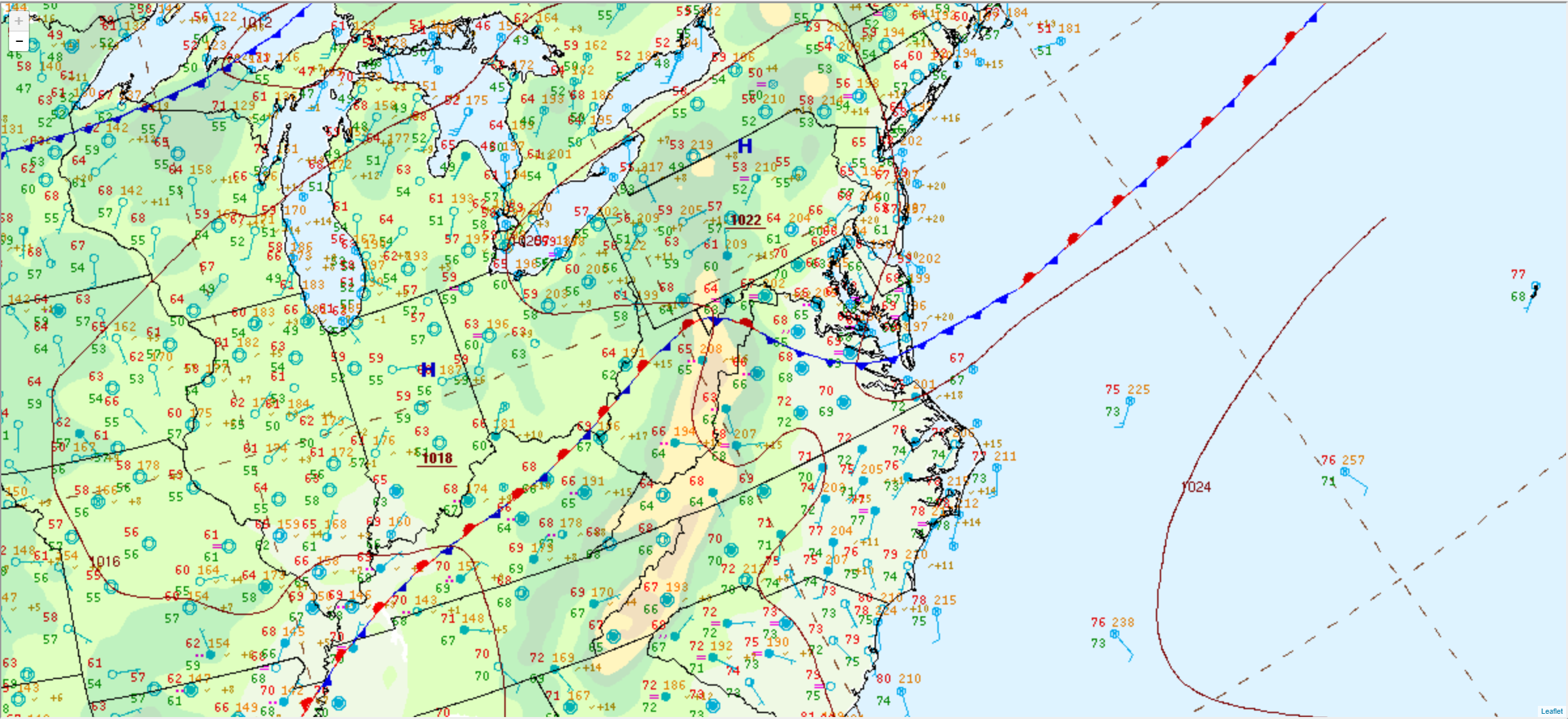
A stationary front remains draped across the region Tuesday morning and will slowly drift southward through the day. While a few showers remain possible, especially across southern portions of Delmarva, much of the region is expected to stay dry for much of today. Especially across the northern tier. Some breaks of sunshine may also develop during the afternoon, helping temperatures climb into the upper 70s to near 80 degrees.

The front is forecast to stall directly across Delmarva tonight into Wednesday as an area of low pressure rides along it. This setup will bring additional rounds of scattered showers to the region Tuesday night through Wednesday. The greatest coverage of rain is expected across southern Delmarva, where rainfall totals could reach around one half inch or locally higher by the time the system exits.

Northern portions of Delmarva may see lighter rainfall amounts, generally ranging from a few hundredths to around a quarter inch. Despite the continued wet pattern, no significant flooding or severe weather impacts are currently anticipated.

Temperatures on Wednesday will remain seasonable, with highs once again hovering around 80 degrees under mostly cloudy skies and periods of showers.
A cold front arriving Wednesday night will finally sweep the lingering moisture offshore, allowing a transition toward drier, quieter, and more comfortable weather for the latter half of the week across the Delmarva Peninsula.


