
A cold Arctic air mass will settle over the Delmarva region to start the week, setting the stage for two separate storm systems that could bring periods of wintry precipitation from Monday through Wednesday.
High pressure building south from Canada will lock in colder air across Delaware, Maryland’s Eastern Shore, and coastal Virginia on Monday and Tuesday. That cold air will be critical in determining precipitation type as the first of two systems approaches.
First System: Light Snow Possible Monday

The first wave of low pressure is expected to move east out of the Tennessee Valley on Monday, tracking along a stalled frontal boundary. Current guidance keeps this system somewhat suppressed to the south as it passes near the Chesapeake region.
For Delmarva, this setup could bring a period of light snow later Monday into Monday evening. However, confidence remains limited. Precipitation chances have decreased into the 20 to 40 percent range, and projected snowfall amounts have trended downward in recent forecasts. If snow does occur, it currently appears more likely to be light and limited in duration.
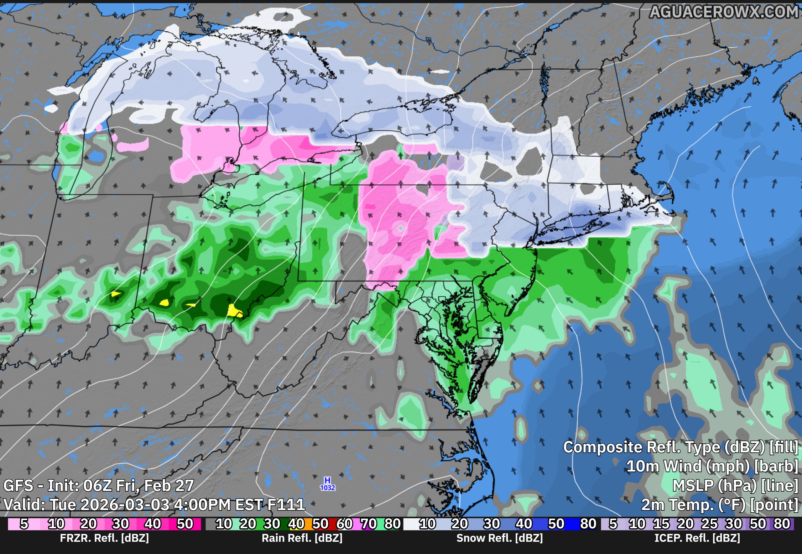
Second System: Higher Rain Chances Tuesday Into Wednesday

Attention then turns to a second disturbance expected to ride along the same boundary late Tuesday into Wednesday. Forecast models show better agreement that this system will impact the region, though some timing differences remain.
Unlike Monday’s system, temperatures are forecast to gradually warm Tuesday into Tuesday night as southerly winds develop. This could allow for a rain and snow mix at the onset, especially Tuesday evening, before transitioning to plain rain overnight into Wednesday.

Precipitation chances with this second system have increased into the 50 to 70 percent range, making it the more likely of the two systems to bring measurable precipitation to Delmarva.