
The Mexican capital is experiencing land subsidence at an alarming rate of almost 10 inches annually, new NASA satellite data shows, placing it among the globe’s most rapidly sinking major cities.
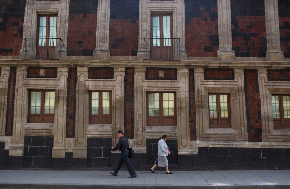
Home to approximately 22 million residents across 3,000 square miles, Mexico City and its surrounding metropolitan areas sit on what was once an ancient lake bed. Historic downtown canals have been transformed into modern streets, though waterways still exist in outlying rural areas.
Decades of intensive groundwater extraction combined with massive urban expansion have severely depleted the underground water supply, causing the capital to gradually descend for more than 100 years. This ongoing subsidence has left historic structures like the Metropolitan Cathedral, whose construction started in 1573, noticeably leaning. The shrinking aquifer has also worsened an ongoing water shortage that experts predict will continue to deteriorate.
“It damages part of the critical infrastructure of Mexico City, such as the subway, the drainage system, the water, the potable water system, housing and streets,” said Enrique Cabral, a researcher studying geophysics at the National Autonomous University of Mexico. “It’s a very big problem.”
The rate of descent is so dramatic that it’s detectable from orbital observation platforms.
NASA’s latest findings indicate certain areas are dropping at an average of 0.78 inches monthly, including locations near the primary airport and the famous Angel of Independence monument.
This translates to an annual subsidence rate of roughly 9.5 inches. During the span of less than a century, the total drop has exceeded 39 feet, Cabral noted.
“We have one of the fastest velocities of land subsidence in the whole world,” he said.
The space agency’s calculations come from data collected between October 2025 and January 2026 using an advanced satellite called NISAR, which monitors real-time surface changes on Earth through a collaboration between NASA and the Indian Space Research Organization.
NISAR scientist Paul Rosen explained that capturing Earth’s details from orbit “telling us something about what’s actually happening below the surface.”
“It’s basically documentation of all of these changes within a city,” Rosen said. He added: “You can see the full magnitude of the problem.”
The research team anticipates eventually achieving even greater precision, potentially measuring subsidence on individual structures.
Scientists plan to expand this technology globally to monitor natural disasters, seismic fault activity, climate change impacts in regions like Antarctica, and other environmental shifts.
Rosen suggested the system could enhance warning networks, enabling researchers to notify governments about necessary evacuations during volcanic eruptions, for instance.
For Mexico City, this technology represents a significant breakthrough in understanding and addressing the subsidence crisis, according to Cabral.
Government officials have historically paid little attention to this issue beyond reinforcing foundations beneath landmarks like the cathedral. However, recent water crisis episodes have prompted authorities to increase research funding, Cabral explained.
Data from the NISAR satellite will be essential for scientists and policymakers developing strategies to tackle this challenge.
“To do long-term mitigation of the situation,” Cabral said, “the first step is to just understand.”