
After a chilly and, in some spots, freezing start to the day across Delmarva, a noticeable warm-up is underway as the region transitions into a more active midweek weather pattern.
Freeze warnings remained in effect through the morning hours following overnight temperatures that dropped low enough to threaten early-season vegetation. However, conditions are improving quickly as a departing area of high pressure shifts offshore. This shift is allowing for a developing southerly to southwesterly return flow, ushering in warmer air across the region through the day.

High temperatures today are expected to rebound into the 50s for most locations, marking a significant improvement compared to the early morning cold. This warming trend is being driven by warm air advection, a process where milder air is transported into the region on strengthening southwest winds.

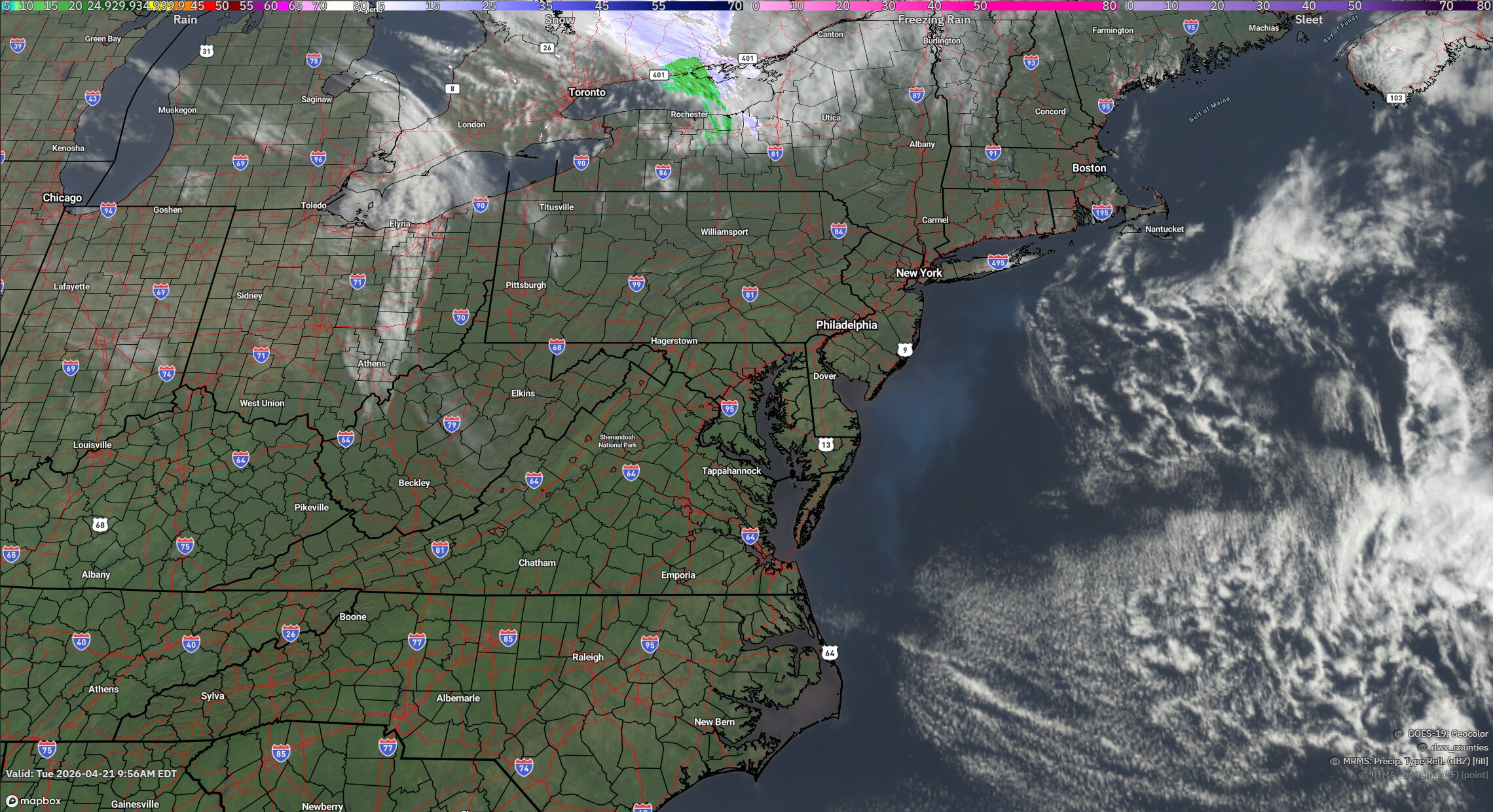
Attention then turns to the next weather system approaching from the Great Lakes. A weak area of low pressure will move toward the Mid-Atlantic tonight, bringing an increase in cloud cover followed by scattered rain showers developing overnight and continuing into Wednesday.

Overnight lows will be milder, ranging from the mid 40s inland to the upper40s closer to the coast. By Wednesday, temperatures continue to trend warmer with highs reaching the upper 50s to upper 60s, depending on location and timing of the rain.
The system is expected to gradually clear the area later Wednesday, allowing for improving conditions heading into the latter part of the week.


