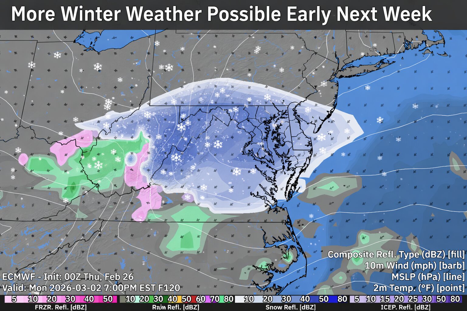

Uncertainty remains in the forecast as meteorologists monitor the potential for another area of low pressure to impact the Delmarva region early next week.
Following the passage of a strong Arctic front, fresh cold air will be firmly in place across Delaware and Maryland’s Eastern Shore. With that colder air mass established, any developing system Monday into Tuesday could bring another round of wintry weather to the region.

Forecast models continue to struggle with the exact placement and timing of key upper-level features, which is leading to lower confidence in specific details at this time. However, the latest National Blend of Models (NBM) guidance indicates a 50 to 70 percent chance of measurable snowfall somewhere across the region between Monday and Tuesday.
At this point, it remains too early to determine potential snowfall amounts, exact timing, or precipitation type. Small shifts in the storm track or upper-level energy could significantly influence impacts across Delmarva.
Residents are encouraged to monitor forecast updates over the coming days as models come into better agreement and confidence increases.