A developing weather pattern will bring widespread rainfall and a noticeable cooldown across the Delmarva region this weekend, marking a shift away from the recent stretch of milder spring conditions.

A back door cold front is expected to slide south through the area on Friday as high pressure builds in from eastern Canada. This type of front, which moves in from the northeast rather than the typical west-to-east progression, can be particularly tricky to forecast and often leads to cooler-than-expected temperatures, especially closer to the coast. While most of Friday should remain dry, a few spotty showers cannot be ruled out during the afternoon as weak energy moves through the region. High temperatures are currently forecast to range from the 60s inland to near 70 degrees, with slightly warmer readings possible across parts of the Maryland Eastern Shore. However, if the front pushes through faster than expected, temperatures could end up several degrees cooler.

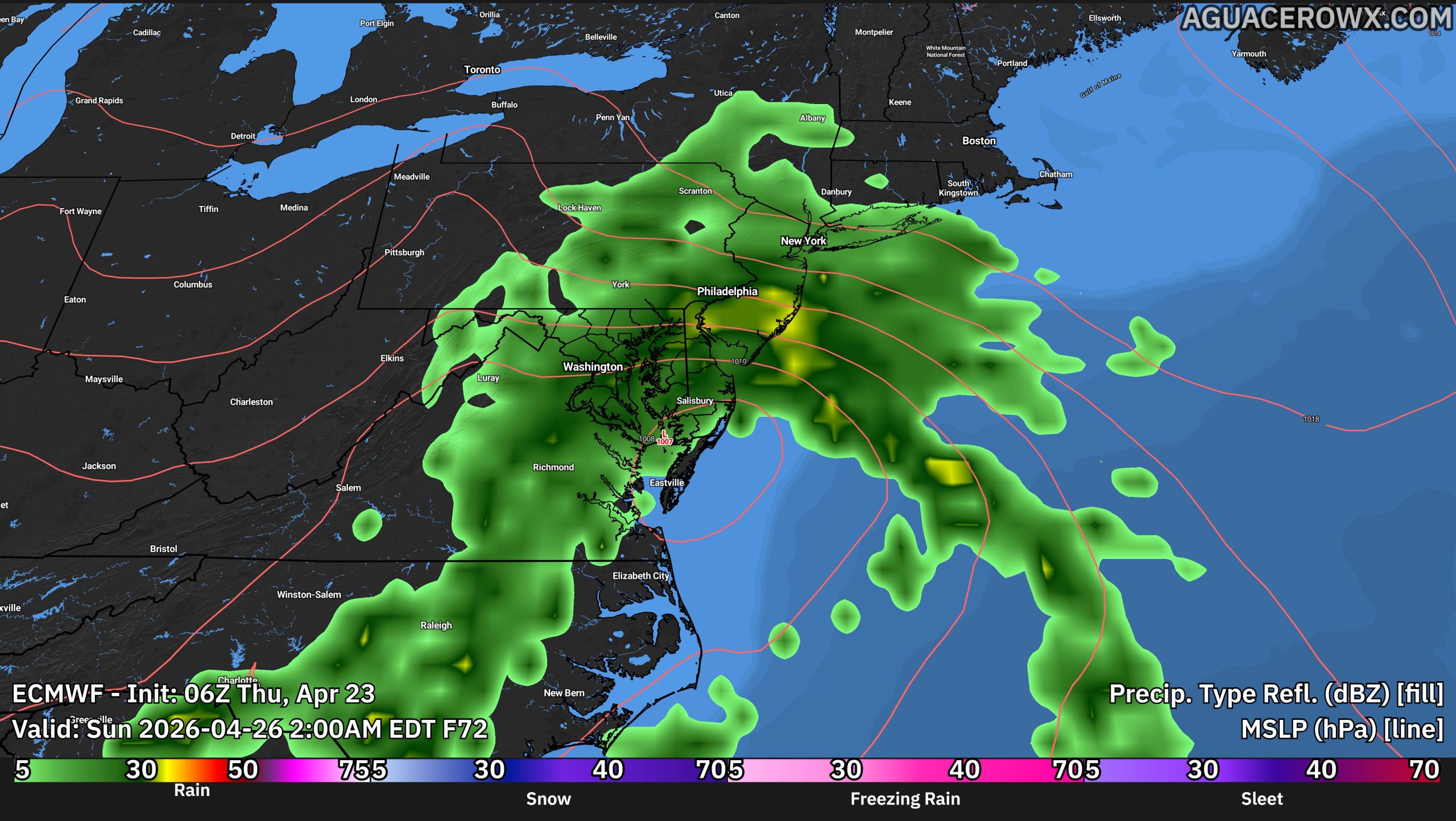
The primary weather impact arrives this weekend as a wave of low pressure develops near the Great Lakes and tracks into the Mid-Atlantic. This system is expected to bring a period of widespread rain, with the steadiest and most consistent rainfall likely falling on Saturday. Conditions will turn dreary and damp, with overcast skies and temperatures struggling to climb out of the upper 40s to upper 50s throughout the day.

Rainfall totals across Delmarva are expected to vary, with generally lighter amounts compared to areas farther north. Current projections suggest totals ranging from around a quarter inch to a half inch across southern portions of the region, with locally higher amounts possible.
By Sunday, conditions should begin to improve, although some uncertainty remains. While the overall trend points toward drier weather returning, a few lingering showers cannot be ruled out depending on how quickly the system exits the coast. Temperatures will begin to rebound slightly, reaching into the mid 50s to mid 60s.

Looking ahead to early next week, a return to milder and drier conditions is expected on Monday before another system approaches, bringing the next chance for rain by Monday night into midweek.


