
A brief return to above-average temperatures is expected across Delmarva late this week, but the warmup will be short-lived as a cooler pattern and the potential for widespread rainfall arrive heading into the weekend.

In the wake of Wednesday’s departing system, the atmosphere will transition into a more favorable setup for warming. Building heights aloft and renewed warm air advection will allow temperatures to climb well above seasonal norms Thursday and Friday. Highs on Thursday are forecast to reach into the 70s across much of the region, offering a springlike feel after the recent chill.

By Friday, forecast confidence begins to decrease slightly as a backdoor cold front attempts to slide into the region from the northeast. These types of fronts, influenced by cooler marine air, can be tricky to time and strength. If the boundary is weaker, temperatures may only dip slightly. However, if it pushes through more aggressively, a sharper drop in temperatures could occur by late Friday or into Saturday.
That cooler air mass looks to become more firmly established heading into the weekend. As a result, Saturday temperatures are currently projected to fall roughly 10 to 15 degrees below Friday’s highs, with even cooler conditions possible depending on how strong the backdoor front becomes.

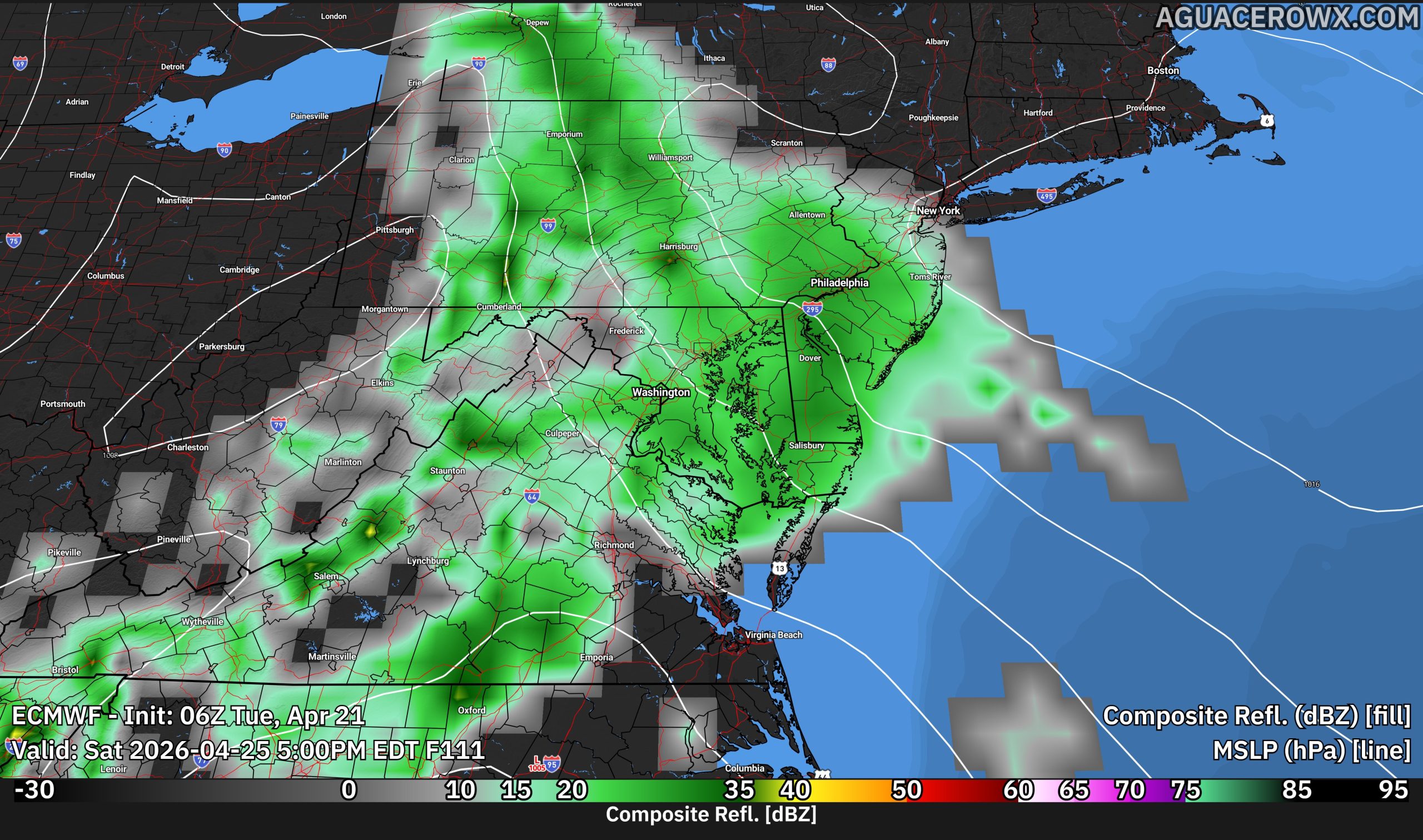
Attention then shifts to a developing low pressure system that may impact the region from Friday night into Saturday. This system has the potential to bring a period of widespread showers, and possibly a steadier rainfall event across Delmarva.

While there is still some uncertainty in both the timing and intensity of this system, the overall pattern among model guidance suggests a beneficial rainfall could occur. Current projections indicate that up to a half inch of rain is possible, which would be welcome given recent dry conditions across parts of the Mid-Atlantic.
Forecast confidence decreases into the weekend due to variability in model solutions, particularly regarding how the low pressure system interacts with the cooler air mass in place. Even so, the trend points toward a cooler, unsettled stretch to close out the week.


