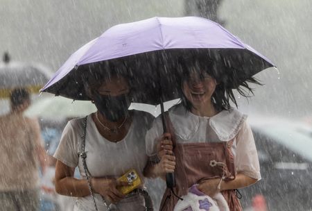

Gulf Coast communities from the Florida Panhandle to Louisiana are bracing for Tropical Storm Bertha, which is expected to bring dangerous winds and flooding conditions as it approaches the region Wednesday.
According to Michael Buchanan, a meteorologist with the National Weather Service in Louisiana, Bertha is projected to come ashore Wednesday night along a sparsely populated stretch of Louisiana coastline southeast of New Orleans, with wind being the primary concern.
As of early Wednesday, the storm was located roughly 145 miles west-southwest of Panama City, Florida, and about 75 miles east of the Mississippi River’s mouth. The Miami-based National Hurricane Center reported the storm was tracking westward at 6 mph with maximum sustained winds reaching 50 mph.
A tropical storm warning has been issued stretching from the Bay-Gulf county boundary in Florida all the way west to Morgan City, Louisiana, and also covering the greater New Orleans area and Lake Pontchartrain.
Storm surge flooding of up to 4 feet is possible along Louisiana’s coast between the mouth of the Mississippi River and the Alabama-Mississippi border, with lesser surge impacts expected in portions of Florida and Alabama.
Rainfall totals of 2 to 4 inches are anticipated from western Florida through southern Louisiana’s coastline, though some isolated areas could see higher amounts, raising the risk of flash flooding in cities and towns.
Forecasters expect Bertha to lose strength once it moves into Texas.
Officials in Mississippi, Louisiana, and Florida set up sandbag distribution sites for residents ahead of the storm. Red flag warnings were posted at several beaches to alert swimmers to dangerous rip current conditions, while double red flags along much of the Gulf Coast signaled that waters were completely off-limits for swimming.
Near Pensacola, Florida, beaches were largely empty, with only a handful of tourists venturing out to photograph the rough surf.
Candice Henderson, manager of the Crab Trap, a beachside restaurant on Pensacola’s Perdido Key that was full of customers Tuesday, offered a local perspective: “For locals, this is just another storm. When you’re on vacation and it’s raining, you either shop or you go out to eat.”
Bertha is the Atlantic hurricane season’s second named tropical storm. The first, Tropical Storm Arthur, rolled through the southeastern United States in June, leaving behind significant rainfall.
Coastal areas of Mississippi are still working to recover from the flooding Arthur caused — damage that destroyed and harmed homes across the region. Bertha could pile on more heavy rain to those same communities.
Jeff Clark, a spokesperson for Mississippi’s Harrison County — where six sandbag distribution locations were made available — said the recent history is keeping residents alert. “Because of that, people are definitely paying attention, or at least you would hope so,” Clark said. He added that as of Tuesday, there had been no need to open emergency shelters or issue evacuation orders.
The National Oceanic and Atmospheric Administration has predicted a below-average Atlantic hurricane season this year, though officials caution that a quieter season does not rule out the possibility of a devastating storm.
Meanwhile, in the eastern Pacific Ocean, Hurricane Fausto was churning far out to sea Tuesday, located approximately 805 miles west-southwest of the southern tip of Baja California. Moving west-northwest at 9 mph, the hurricane carried maximum sustained winds of 80 mph and was expected to gradually intensify. The National Hurricane Center warned that swells from Fausto could create life-threatening surf and rip current hazards along the Baja California coastline.