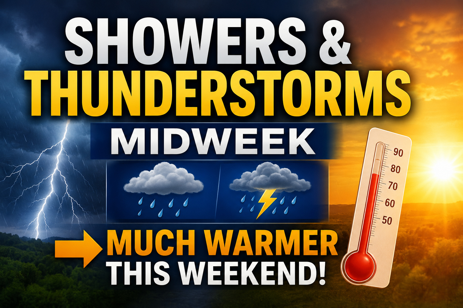

A more active weather pattern is expected to develop across the Mid-Atlantic and Delmarva region during the middle of the week as a strengthening upper-level storm system moves into the eastern United States. The unsettled conditions are expected to bring a round of showers and potentially a few thunderstorms Wednesday afternoon through Wednesday night before a much warmer and drier pattern takes hold heading into the weekend.
We are closely monitoring an amplified upper-level weather pattern that will evolve over the next several days. High pressure currently influencing the region will shift offshore by Tuesday, allowing warmer and more humid air to begin moving northward into the Mid-Atlantic. At the same time, another upper-level trough will dig into the eastern United States Wednesday into Thursday.

There remains some uncertainty regarding exactly how the system evolves. Some forecast guidance, particularly the European ECMWF model, continues to suggest the upper-level trough could close off into a stronger upper-level low over the Mid-Atlantic and Northeast. Other guidance keeps the system more progressive and open as it moves through the region. Regardless of the exact setup, confidence is increasing that widespread showers will develop Wednesday afternoon and continue into Wednesday night as a trough and cold front move across the area.

Ahead of the approaching system, increasing low-level warm air advection and strengthening winds aloft will help enhance atmospheric lift across the region. A warm front is also expected to lift northward through the area Wednesday, further supporting the development of showers and scattered thunderstorms.

Rain is expected to overspread the region from west to east during the day Wednesday, with the steadiest and most widespread activity likely occurring Wednesday evening and overnight as the cold front approaches. While widespread severe weather is not anticipated at this time, enough atmospheric instability may develop to support a few thunderstorms capable of producing locally gusty winds. The overall intensity of any thunderstorms will depend on how much instability can build ahead of the front during the afternoon and evening hours.
By Thursday, the main area of rain and thunderstorms should shift offshore. However, if the upper-level low closes off as some guidance suggests, colder air aloft moving overhead could spark additional scattered showers Thursday afternoon and potentially linger into Friday before the system fully departs.

Conditions are expected to improve significantly heading into the weekend as the upper-level trough lifts away and a ridge of high pressure begins building into the eastern United States. This will allow a much warmer and drier air mass to overspread the Mid-Atlantic and Delmarva region. Temperatures are expected to climb well above average by the weekend with increasing sunshine and more favorable outdoor conditions returning.


