
After a stretch of dangerous heat and humidity, attention is now turning to an increasing threat for severe thunderstorms across the Mid-Atlantic on both Thursday and Friday. We are monitoring multiple disturbances that could trigger strong to severe storms capable of producing damaging winds, large hail, and even an isolated tornado.
The overall weather pattern will remain favorable for thunderstorm development through the end of the workweek as hot, moisture-rich air remains firmly in place across the region. With temperatures climbing into the upper 80s and 90s and dewpoints well into the 60s and lower 70s, the atmosphere will become increasingly unstable each afternoon.
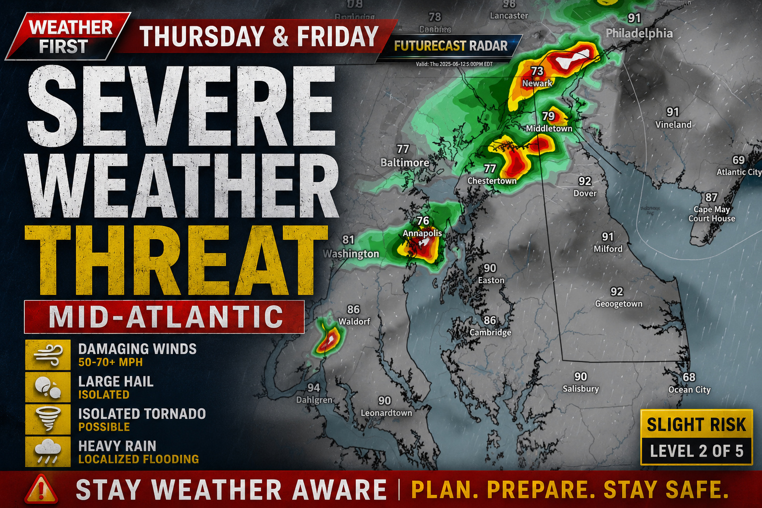
Thursday: Damaging Winds the Primary Concern

Thursday’s storms are expected to be driven largely by daytime heating, but an approaching disturbance moving out of the Midwest should provide enough additional lift to enhance thunderstorm development during the afternoon and evening hours.
The Storm Prediction Center has placed the entire Mid-Atlantic in a Slight Risk (Level 2 of 5) for severe weather. While wind shear is expected to remain relatively modest, the combination of hot temperatures and abundant moisture should create an environment favorable for strong thunderstorms.

The primary hazard will be damaging straight-line winds, although some storms could also produce large hail and a brief tornado if they become more organized.
Friday: Cold Front May Bring a More Widespread Severe Threat
The severe weather threat continues into Friday as an upper-level trough and an approaching cold front move closer to the region. These larger-scale weather features are expected to provide stronger forcing for thunderstorm development compared to Thursday.

Another Slight Risk has been issued across the region, with scattered to numerous thunderstorms expected to develop during the afternoon and evening hours.
As storms organize into clusters or bowing segments, the potential exists for a more concentrated area of damaging wind gusts pushing eastward toward the Mid-Atlantic coastline. Some storms may also produce marginally severe hail, while isolated rotating storms cannot be completely ruled out.

Main Hazards
- Damaging wind gusts of 50 to 70+ mph
- Large hail
- Frequent cloud-to-ground lightning
- Torrential rainfall and localized flooding
- An isolated brief tornado cannot be ruled out
Stay Weather Aware
While there is still uncertainty regarding the exact timing and placement of the strongest storms on both days, confidence is increasing that at least scattered severe thunderstorms will develop somewhere across the Mid-Atlantic Thursday and Friday.
Residents across Delmarva and the surrounding region should keep a close eye on the latest forecasts and be prepared to receive watches and warnings, especially during the afternoon and evening hours when storm intensity is expected to peak.
The good news is that once the cold front moves through, the weekend forecast has trended drier with a gradual decrease in humidity and a return to more comfortable conditions.