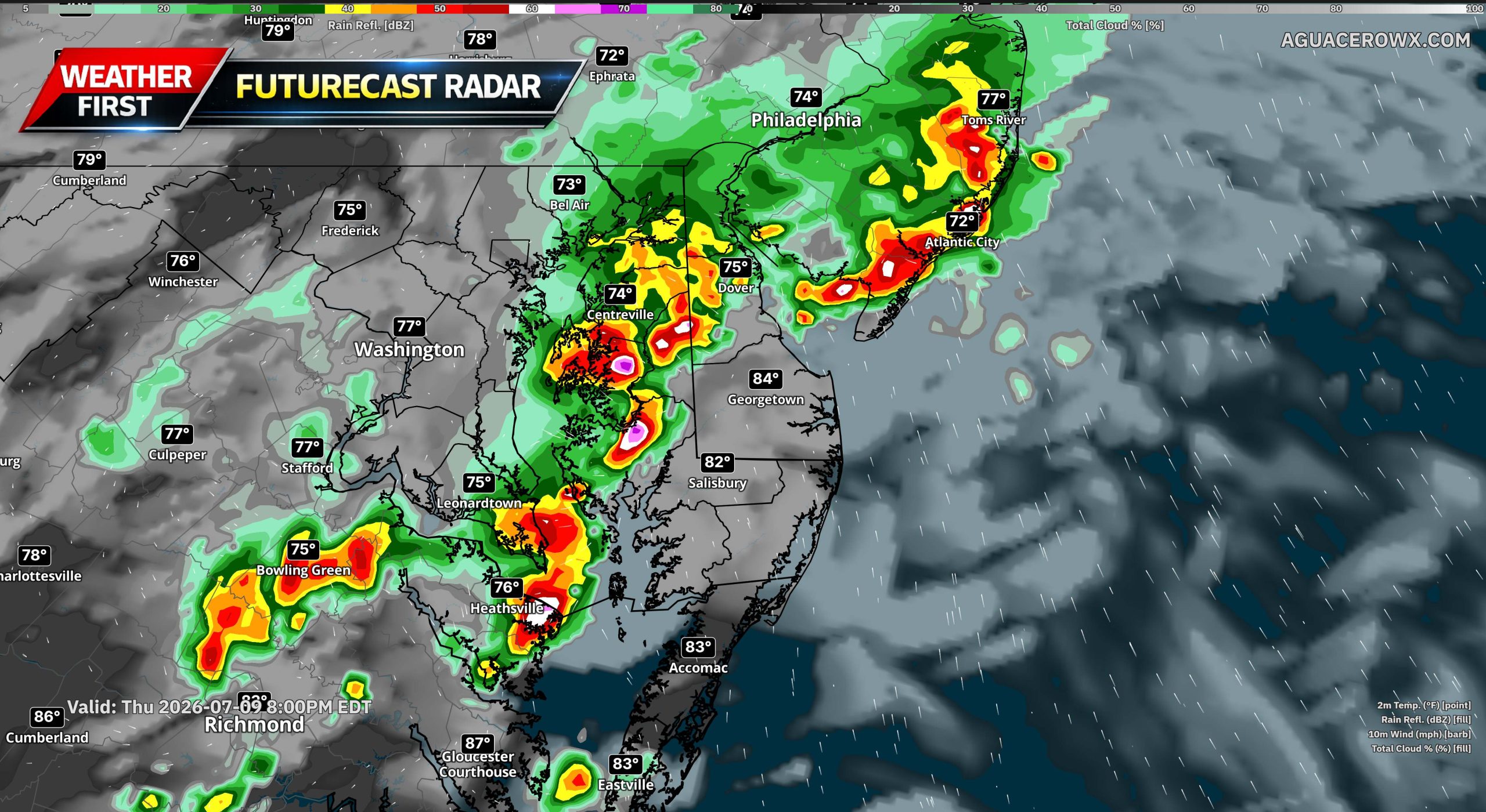
Rounds of showers and thunderstorms are expected to return to the region Thursday and continue into at least Friday as a cold front approaches and eventually crosses through the area.

The first isolated showers may begin developing Wednesday night into early Thursday morning, but coverage is expected to increase Thursday afternoon and Thursday night as a piece of upper-level energy moves through the Mid-Atlantic. Winds out of the southwest will help bring deeper moisture into the region, setting the stage for storms capable of producing heavy rainfall.

Atmospheric moisture levels will be quite high, with precipitable water values climbing to near 2 inches. Combined with a warm cloud layer process, any showers or thunderstorms that develop could become efficient rainfall producers. This means heavy rain may fall in a short amount of time, raising the concern for localized flash flooding, especially in poor drainage areas, urban locations, and spots that have already seen recent rainfall.
The Weather Prediction Center has placed much of the area under a Marginal Risk for excessive rainfall on Thursday.

There is also a low-end severe weather threat Thursday. Temperatures climbing into the 80s, rising humidity, and some supportive lapse rates will allow instability to increase during the day. However, the amount of wind shear available to help storms organize remains somewhat uncertain. The main threat with any stronger storms Thursday would be damaging wind gusts.

The Storm Prediction Center has expanded the Marginal Risk for severe thunderstorms northward to include most of the region, with the exception of the Poconos and portions of central and northern New Jersey. But I expect a upgrade to a Slight Risk with the recent data this morning.
Another round of showers and thunderstorms is expected Friday as the cold front moves southward into the area. Once again, moisture levels are forecast to remain high, with precipitable water values near 2 inches. This will support another heavy rain and flash flooding risk with storms that develop ahead of the front.

The severe weather threat may also continue Friday. Instability could reach at least around 1,000 J/kg, while wind shear looks a bit stronger compared to Thursday. That would support at least some potential for stronger to severe storms, with damaging wind gusts once again the primary concern.
Friday will also bring a brief surge of heat and humidity ahead of the front. High temperatures near 90 degrees, combined with higher dew points, will push heat index values into the mid 90s to low 100s for many locations.