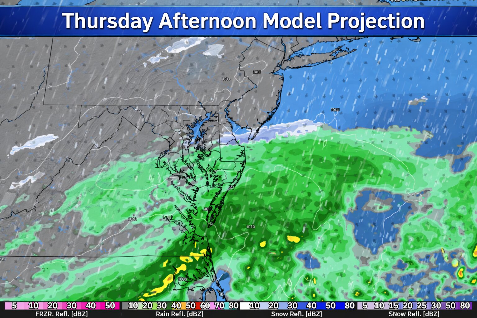

A developing area of low pressure is expected to slide west to east just south of the Delmarva region Thursday into Thursday night, bringing another round of unsettled weather to the area.
While colder air will be in place behind Wednesday morning’s departing system, the latest forecast trends continue to push this upcoming storm track slightly farther south. That shift reduces the likelihood of any meaningful wintry weather across Delmarva.
Mainly Rain for Delaware and the Eastern Shore

At this time, temperatures across Delaware and Maryland’s Eastern Shore look warm enough to support primarily plain rain throughout the event. Unlike areas farther north, where a rain and snow mix is possible, Delmarva is expected to remain on the milder side of the system.
Rain chances will increase Thursday, continuing into Thursday night before tapering off as the system exits offshore.
Little to No Snow Expected
Forecast guidance suggests that if any wintry precipitation were to occur locally, it would be very limited. Current projections show only a trace to a few tenths of an inch of snowfall in areas where mixing might briefly occur, and even that appears increasingly unlikely for most of Delmarva.
Overall, this system currently looks to be a minor event with no significant travel impacts expected at this time.