After a stretch of cooler conditions, temperatures across the Delmarva Peninsula are set to moderate heading into the end of the week, with a brief taste of spring expected this weekend before cooler air returns early next week.
A warm front lifting through the region on Thursday will begin the transition, allowing temperatures to rebound into the upper 40s to low 50s. This marks a return to more seasonable conditions across Delaware and the Eastern Shore of Maryland.

The warming trend continues Friday as a stronger system passes north of the region. Southerly winds will increase, helping push highs into the upper 50s to near 60 degrees across much of Delmarva. A weakening cold front associated with this system will move through Friday night, bringing a period of light rain. Rainfall amounts are expected to remain on the lighter side, generally around a tenth to a quarter inch.

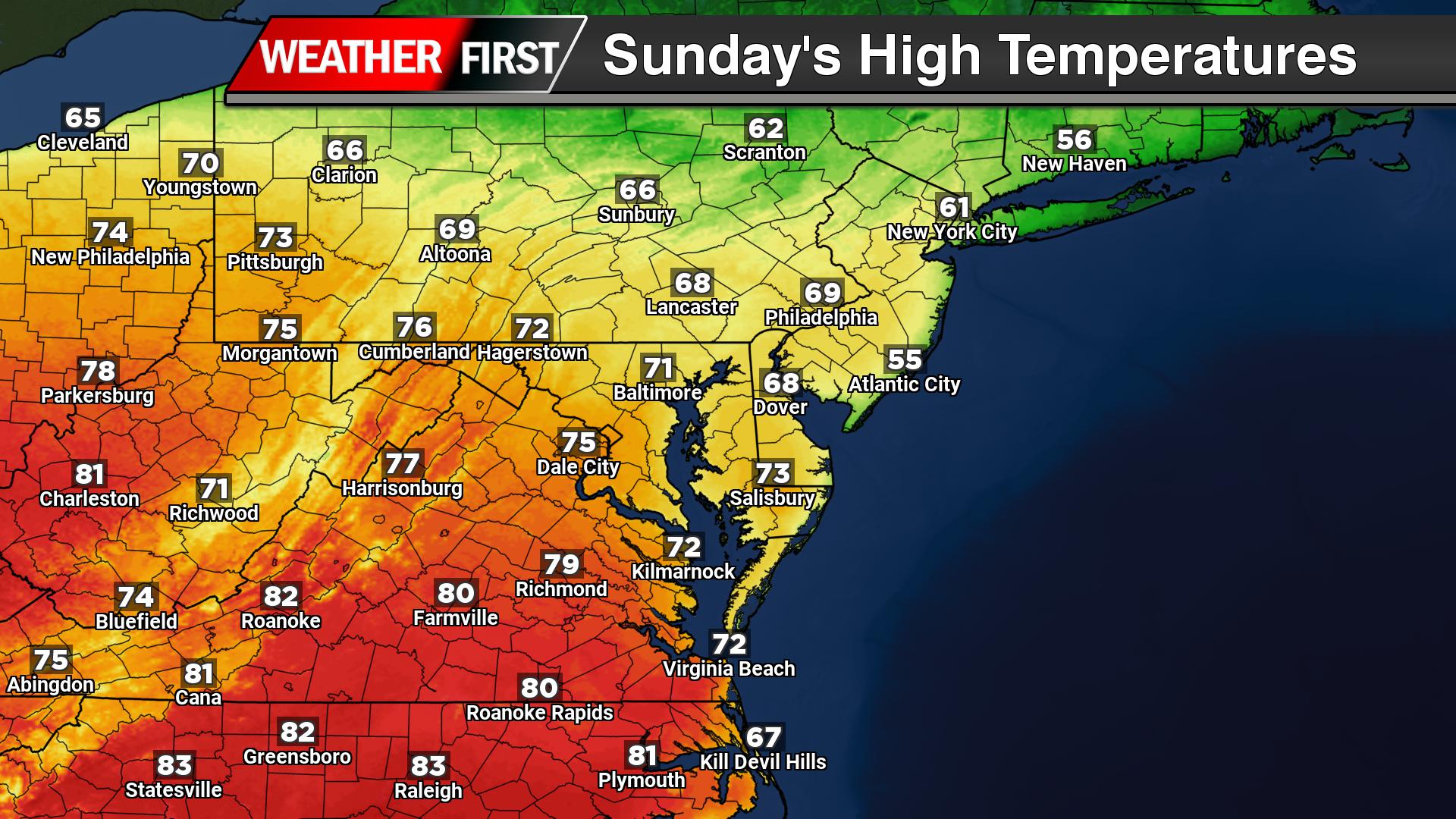
Heading into the weekend, conditions turn even milder. Saturday looks partly to mostly sunny with highs climbing into the low to mid 60s. By Sunday, even warmer air surges into the region ahead of the next approaching system, with temperatures reaching the mid to upper 60s inland. Coastal areas may stay slightly cooler due to onshore flow and the influence of colder ocean waters.

Another cold front is expected to cross Delmarva late Sunday into Sunday night, bringing a second round of scattered rain showers to end the weekend.
Behind this system, cooler Canadian air filters back into the region early next week. While temperatures will drop back closer to seasonal averages, conditions look dry and stable through at least midweek.

Overall, Delmarva will experience a classic early spring pattern: a brief warm-up with passing systems bringing light rain, followed by a return to cooler, quieter weather.