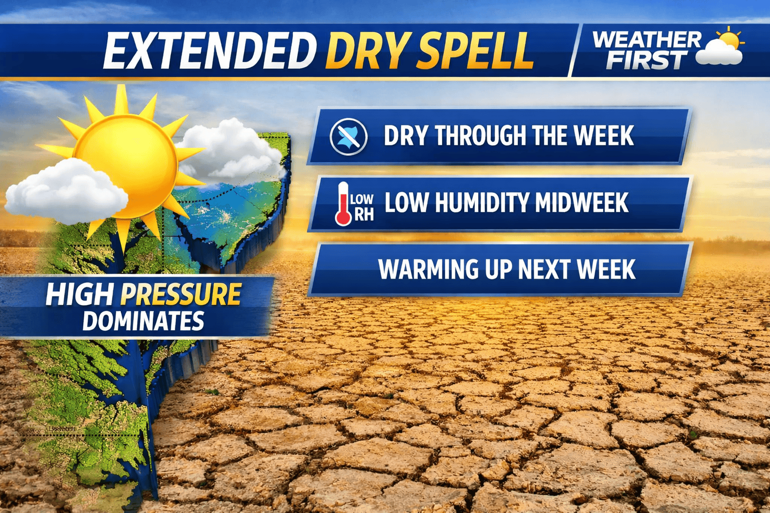

A prolonged stretch of dry weather is expected to continue across the Delmarva Peninsula through the remainder of the week and likely into much of the upcoming weekend, as high pressure remains firmly in control of the region.
This expansive area of high pressure is currently centered over the Mid-Atlantic, providing clear skies and stable conditions. As a result, no meaningful precipitation is expected through the end of the workweek.

Despite the quiet weather, a very dry air mass will settle in, particularly midweek. Minimum relative humidity values are expected to drop into the 20 to 30 percent range, especially on Wednesday. While this is similar to earlier fire weather concerns, lighter winds will help limit the overall risk for rapid fire spread compared to previous days.
As the high pressure system gradually shifts offshore later this week, winds will turn out of the southeast on Thursday and southwest by Friday. This will allow humidity levels to slowly increase, though conditions will remain dry overall with no significant rainfall expected.
A weak cold front is forecast to slide southeast across Delmarva Friday night into early Saturday. However, moisture with this system appears limited, and only a slight chance of precipitation is expected at this time.
Behind the front, another area of high pressure is expected to build in, reinforcing dry conditions through the weekend. Temperatures will remain mild to warm, setting the stage for a notable warm-up early next week.

High temperatures are forecast to climb well into the 70s by Monday, with many areas likely reaching the 80s by Tuesday, marking a return to above-normal temperatures across the region.
While the stretch of dry and warm weather may be welcome for outdoor plans, the continued lack of rainfall could begin to raise concerns for drying soils and vegetation across Delmarva if the pattern persists.


