
After a stretch of unsettled weather featuring showers, thunderstorms, and periods of heavy rain, a gradual return to drier and more seasonable conditions is expected across Delmarva and the Mid-Atlantic through the second half of the week.
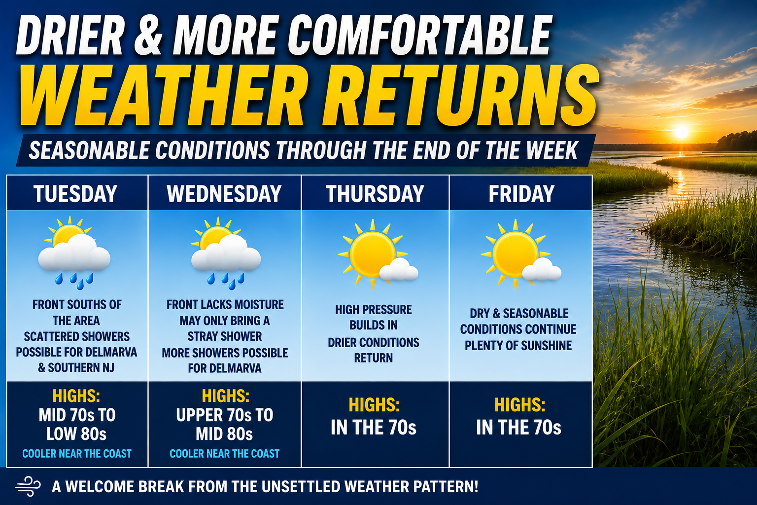
A cold front moving south of the region Tuesday will help push the more humid and stormy pattern away from the area, although the boundary is expected to linger nearby. Because of its close proximity, scattered showers may still develop at times Tuesday, especially across southern New Jersey and portions of the Delmarva Peninsula.

Temperatures Tuesday will remain fairly mild with afternoon highs generally reaching the mid 70s to low 80s inland, while communities closer to the Atlantic coast experience cooler conditions due to onshore flow and marine influences.
Another cold front is forecast to slide southward through the region on Wednesday. However, this secondary front appears moisture-starved and is not expected to produce widespread rainfall. A stray shower cannot be ruled out, particularly across Delmarva where lingering moisture near the stalled frontal boundary to the south could spark a few additional afternoon showers.
Despite the slight shower chances, temperatures Wednesday will trend a bit warmer with highs climbing into the upper 70s to middle 80s away from the coast. Shore communities will once again stay cooler due to persistent easterly winds off the Atlantic Ocean.

The overall weather pattern becomes much more favorable heading into Thursday and Friday as high pressure builds into the region from the north and west. This will allow for increasing sunshine, lower humidity levels, and more comfortable late May conditions across the Mid-Atlantic.
High temperatures both Thursday and Friday are expected to settle into the 70s region-wide, providing a refreshing change following the recent active and humid weather pattern.
By the end-of-week stretch should offer some of the most pleasant weather the region has experienced in recent days, with lower rain chances and more stable atmospheric conditions expected heading into next weekend.


