Arctic high pressure will keep the Delmarva region locked in a stretch of below-normal temperatures through Tuesday, while a developing system to the south brings periods of light wintry precipitation.
Cold Start to the Week

High pressure centered over the eastern Great Lakes will gradually shift offshore tonight and settle over the western Atlantic by Tuesday. In the meantime, Delmarva will remain firmly under a cold air mass.
High temperatures today will struggle to reach the low to mid 30s, running roughly 10 degrees below seasonal averages. Winds will remain light, but the cold air will be firmly entrenched across the peninsula.
Light Snow Developing This Afternoon

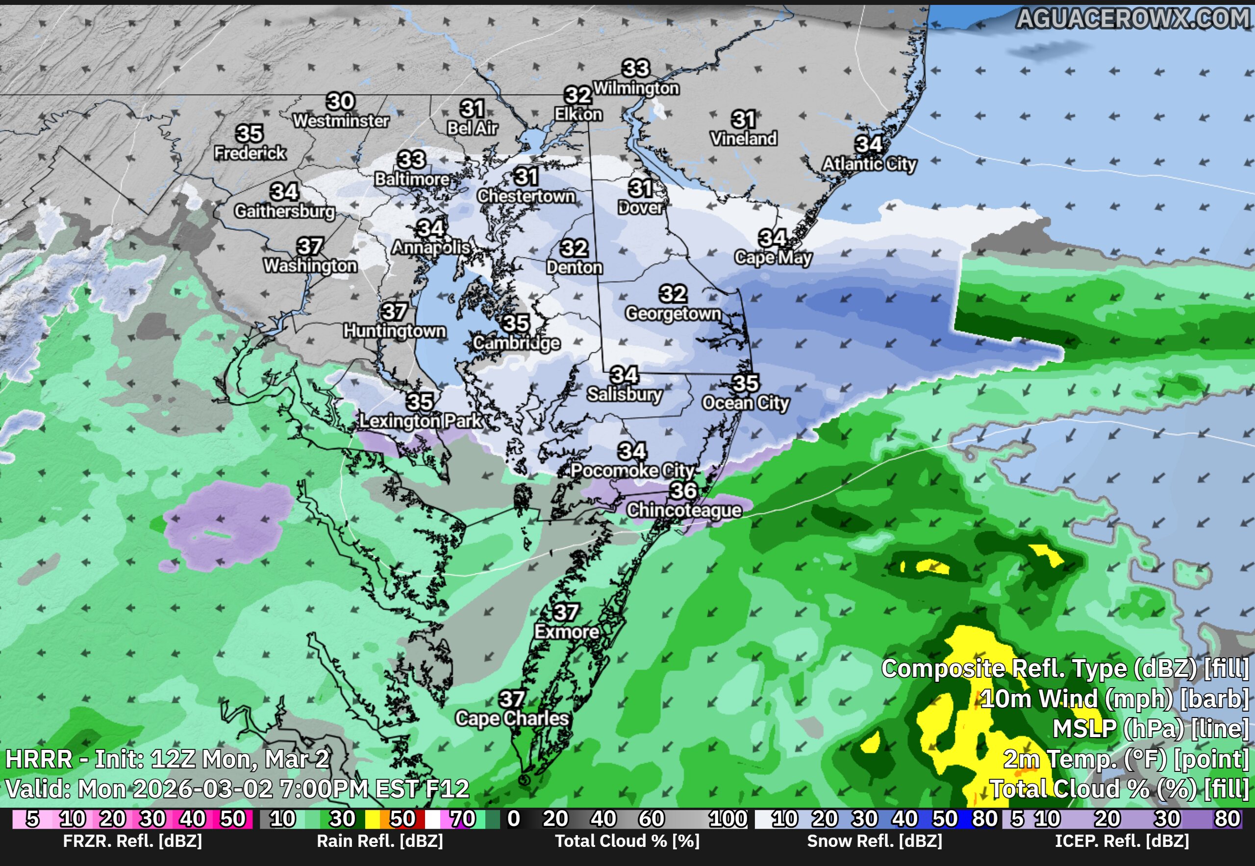
As the high slides offshore, a developing area of low pressure over the Southern Plains will push a warm front northward toward the Mid-Atlantic.
Shortwave energy riding along that boundary is expected to trigger light snow across Delmarva this afternoon into early evening. A light coating of snow is possible, especially across the Eastern Shore of Maryland and Delaware. Any snow that develops should taper off later this evening.
Accumulations are expected to remain minor, generally less than an inch.
Wintry Mix Late Tonight into Tuesday

Attention then turns to late tonight into Tuesday morning as the warm front continues lifting north. With temperatures initially below freezing, precipitation will begin as snow across much of Delmarva.
Southern portions of the peninsula are expected to change over to plain rain fairly quickly overnight as slightly warmer air moves in. However, across northern areas of Delmarva, a brief period of wintry mix cannot be ruled out before transitioning to rain.
Any ice accumulation locally would be light, generally a glaze at most, with snowfall totals remaining under one inch.
Milder by Tuesday Afternoon

By Tuesday afternoon, temperatures should rise into the 40s across Delmarva, allowing all precipitation to change to plain rain.
While this is not expected to be a major winter event for the peninsula, brief slick spots are possible late tonight into early Tuesday before the changeover to rain.