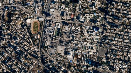

A major satellite imaging company has announced it will stop releasing pictures of Iran and Middle East war zones indefinitely after receiving a directive from the U.S. government.
Planet Labs, headquartered in California, informed its customers via email on Saturday that federal officials had requested all satellite imagery companies halt distribution of visuals from the conflict areas.
This new restriction builds on a previous two-week delay the company had already put in place last month for Middle Eastern imagery. Planet Labs had explained that earlier measure was designed to stop enemies from using their satellite pictures to target American forces and allied nations.
According to the company’s announcement, they will block all imagery going back to March 9 and anticipate maintaining this policy until hostilities conclude.
The current conflict started when American and Israeli forces struck Iran on February 28. The situation escalated across the region after Iran retaliated with its own strikes against Israeli targets and U.S. military installations in Gulf nations, including Saudi Arabia, Kuwait and Bahrain.
Satellite technology serves multiple military functions, including identifying targets, guiding weapons systems, tracking missiles and enabling communications. Defense experts warn that Iran may be obtaining commercial satellite images through adversarial nations. These images also provide valuable information for news organizations and researchers studying remote locations.
Planet Labs operates an extensive network of Earth-observation satellites and markets regularly updated imagery to government agencies, private companies and media organizations. The company declined to provide additional comments when contacted.
Pentagon officials stated they do not discuss matters related to intelligence operations.
In their customer notification, Planet Labs explained they would transition to a “managed distribution of images” system for visuals determined to be safe for release. This new approach will allow the company to provide imagery on an individual basis for urgent operational needs or matters of public importance.
“These are extraordinary circumstances, and we are doing all we can to balance the needs of all our stakeholders,” the company stated in their message.
Vantor, previously known as Maxar Technologies, told reporters they had not received contact from federal authorities. A company representative explained that Vantor has long maintained policies allowing them to “implement enhanced access controls during times of geopolitical conflict” and currently applies such measures to portions of the Middle East.
These restrictions may limit who can order new satellite images or purchase existing photographs of areas where American military and allied forces are “actively operating,” as well as locations “actively targeted by adversaries,” according to the spokesperson.
BlackSky Technology, another commercial satellite provider contacted for comment, had not responded by publication time.