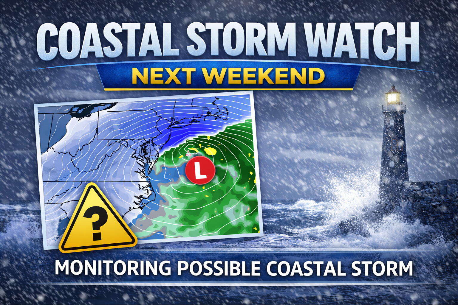
Forecast models are signaling the potential for a coastal storm to develop near the Mid-Atlantic next weekend, though confidence remains low at this time regarding whether a system will actually form and what impacts it could bring to Delmarva.
Both deterministic and ensemble guidance continue to suggest that some type of storm system may attempt to organize off the Mid-Atlantic coast during the weekend. However, overnight model runs remain inconsistent, showing a wide range of possible outcomes. While there is general agreement that a disturbance could develop, there is little agreement on the track, strength, or impacts of the system.

The ECMWF and its AI-based guidance are currently the most bullish, indicating a more organized coastal system. In contrast, the GFS and CMC models favor scenarios that either miss the region entirely or produce only minor impacts. This spread highlights the uncertainty that still exists several days out.

Probabilistic guidance also reflects the low confidence. The EPS ensemble shows only a 20 to 35 percent chance of at least four inches of snow in a 24 hour period across the region, with similar probabilities indicated by the National Blend of Models. These values suggest that while snow is possible, the risk of a significant snowfall remains limited at this stage.

One factor that is more certain is the cold air mass that will be in place. Below normal temperatures are expected to persist into next weekend, meaning that any precipitation associated with a storm would likely fall as snow, provided a system tracks close enough to impact Delmarva.
At this point, the forecast hinges on whether a storm develops at all and where it ultimately tracks. These details are expected to become clearer over the coming days as models better resolve atmospheric features following the recent storm system.
Residents across Delmarva are encouraged to stay informed and monitor forecast updates, especially given the cold conditions that will already be in place. While it is too early to pin down specific impacts, this is a system worth watching as the weekend approaches.