
A new weather system is taking shape in the Gulf of Mexico, with the U.S. National Hurricane Center announcing Tuesday that Potential Tropical Cyclone One has formed roughly 65 miles southwest of Corpus Christi, Texas. The storm is raising concerns about severe flash flooding and possible disruptions to a major energy-producing region along the Gulf Coast.
If the system gains enough strength to become a named storm, it would be called Arthur and would mark the first named storm of the 2026 Atlantic hurricane season. As of Tuesday, the storm was producing maximum sustained winds of 30 miles per hour. A tropical storm watch has been put in place for a stretch of the northwestern Gulf Coast running from Sargent, Texas, to Morgan City, Louisiana.
According to the National Hurricane Center, the disturbance is expected to move offshore along the Texas coast Tuesday night or early Wednesday, then travel roughly parallel to the upper Texas coast later Wednesday before pushing back inland over far eastern Texas or southwestern Louisiana late Wednesday or early Thursday.
Regardless of whether the storm intensifies further, forecasters say it is on track to drop between 4 and 8 inches of rain — with some isolated areas potentially seeing up to 12 inches — through Thursday across the Texas coast and much of Louisiana. The NHC also cautioned that a dangerous storm surge could push water into areas that are normally dry.
Texas Governor Greg Abbott declared a disaster for 101 counties in the state on Monday ahead of the storm’s arrival.
The rain is also expected to affect the FIFA World Cup match between Portugal and DR Congo scheduled to take place in Houston on Wednesday. Beyond the sporting event, energy industry experts are keeping a close eye on potential impacts to oil and gas infrastructure throughout the region. Tony Dupont, COO at Earth Science Associates, offered an early assessment, saying the storm “doesn’t look too strong” at this point.
Andrew Polk, a weather risk manager at data consultancy DTN, noted that major oil production sites in the Gulf are currently sitting outside the projected path of tropical storm-force winds. However, he warned that some disruptions could still occur. “There may still be some disruptions, primarily due to the overall impact of helicopter operations which may disrupt and delay crew changes from occurring due to the winds and thunderstorms associated with Potential Tropical Cyclone One,” Polk said in an emailed statement, adding that wave heights are expected to climb to between 7 and 9 feet to the east and south of the storm.
Polk further explained that “the wave impacts primarily disrupt operations in the water with lift boats and/or diving operations,” and said the main concern from the storm will be the total amount of rainfall expected to fall along the Texas and Louisiana coastlines.
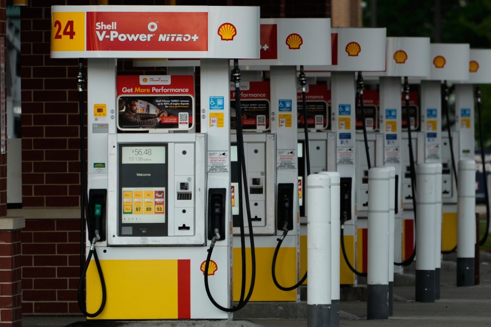
The stakes are high for the region’s energy infrastructure. The U.S. Gulf of America federal offshore zone produced close to 2 million barrels of crude oil each day in March, making up roughly 14% of all U.S. crude production. Shell, BP, Chevron, and Occidental are among the biggest deepwater operators working in those waters.
The Gulf Coast refining corridor, which stretches from Corpus Christi to the Mississippi River, handles around half of the entire U.S. refining capacity of 18.4 million barrels per day. The country’s largest refinery — the Saudi Aramco-owned Motiva Enterprises plant in Port Arthur, Texas — processes 730,000 barrels per day on its own. Other significant facilities in the region include Marathon Petroleum’s Galveston Bay plant, ExxonMobil’s Beaumont and Baytown refineries, and ExxonMobil’s Baton Rouge, Louisiana, facility.
Major liquefied natural gas companies, including Cheniere and Venture Global, also operate large facilities along the same coastal stretch.