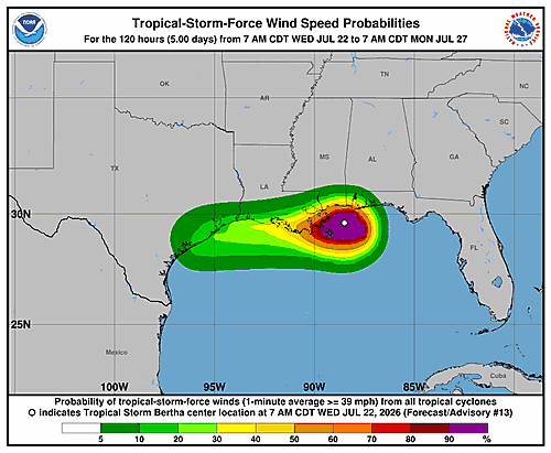
The National Hurricane Center has issued an updated Potential Storm Surge Flooding Map for Tropical Storm Bertha, with the most recent update posted on Wednesday, July 22, 2026 at 9:35 a.m. GMT.
Storm surge flooding can pose a serious threat to life and property in low-lying coastal areas. Residents and communities in the storm’s path are encouraged to review the latest map and follow guidance from local emergency management officials.
For the most current storm surge information, the National Hurricane Center continues to update its resources as Tropical Storm Bertha develops.