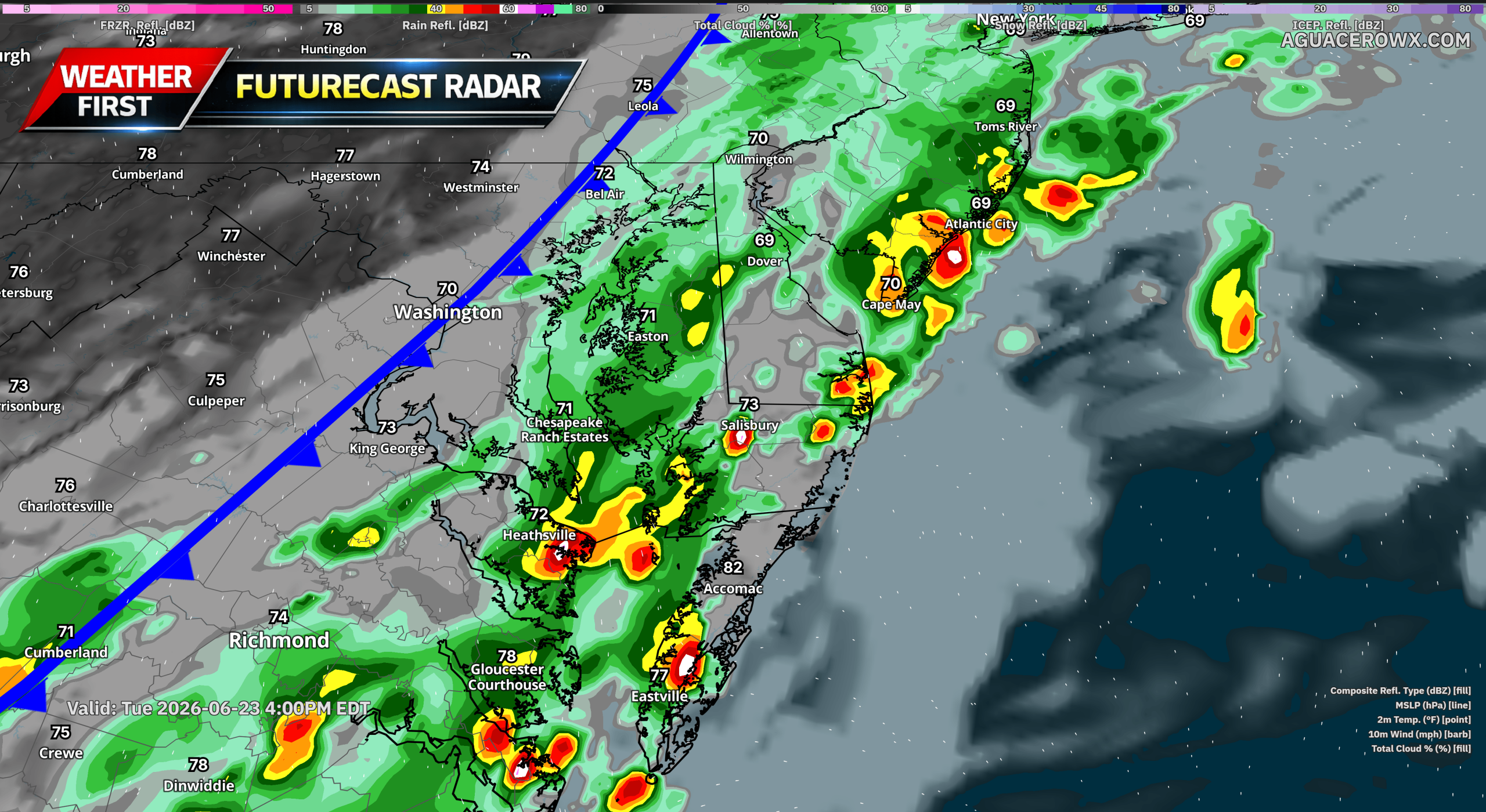

Residents across southern Delmarva should remain weather aware today as strong to locally severe thunderstorms are expected to develop during the afternoon and evening hours.
An upper-level disturbance moving east across the Carolinas and southern Mid-Atlantic will combine with an approaching cold front to create favorable conditions for thunderstorm development. Storms are expected to begin forming by late morning and early afternoon along and ahead of the advancing front before spreading eastward toward the Delmarva Peninsula.
While atmospheric instability is not expected to be extreme, increasing temperatures and humidity will provide enough energy to support strong thunderstorms. Forecast guidance suggests storms will likely organize into lines and clusters capable of producing scattered damaging wind gusts. The greatest severe weather threat is expected across southern portions of Delmarva, especially in Sussex County, Delaware, along with the lower Maryland Eastern Shore and nearby coastal communities.

Damaging straight-line winds remain the primary concern, with the strongest storms capable of downing tree limbs, causing isolated power outages, and producing hazardous travel conditions. Frequent lightning and brief periods of heavy rainfall will also accompany the stronger storms.

We are also monitoring the potential for an isolated tornado. While the tornado threat remains low, embedded areas of rotation within the line of storms could briefly produce a spin-up tornado, particularly if storms become better organized during the afternoon.
The severe weather threat is expected to peak during the afternoon and early evening before storms gradually move offshore later tonight as the cold front pushes through the region.
Residents are encouraged to keep a close eye on weather forecasts and have multiple ways to receive warnings should severe weather develop. Any warnings issued this afternoon or evening should be taken seriously, especially if damaging winds or tornado warnings are issued.
Following the passage of the cold front, conditions are expected to improve overnight with slightly less humid air arriving for Wednesday.