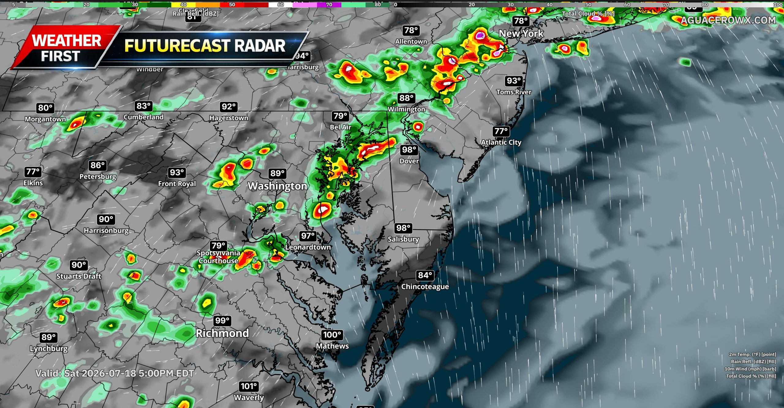

A potentially active round of severe thunderstorms is expected across the Mid-Atlantic on Saturday as a strong upper-level disturbance and an approaching cold front move into the region.
Showers and thunderstorms may already be ongoing during the morning as a warm front lifts northward through the area. Some of this early activity could become locally strong, especially near the warm front, but the greatest concern is expected to develop from the mid to late afternoon into the evening.
During that time, another round of thunderstorms is forecast to form ahead of the approaching cold front and move east across Pennsylvania, Maryland, Delaware, New Jersey, Virginia, and the surrounding region.
Damaging Winds Will Be the Primary Threat

The atmosphere is expected to become increasingly unstable Saturday afternoon, with 1,000 to more than 2,000 J/kg of instability possible. At the same time, wind shear through the atmosphere may increase to around 35 to 50 knots.
This combination could support organized thunderstorms, including clusters, line segments, and a few supercells. Damaging wind gusts will be the primary severe weather threat, with the possibility of swaths of wind damage where storms organize into stronger lines.

Some supercells could also produce large hail. A few tornadoes cannot be ruled out, particularly near the lifting warm front or along a prefrontal trough where low-level wind shear may be locally enhanced.
Very Heavy Rain and Flash Flooding Also Possible

In addition to the severe weather threat, the atmosphere will contain an unusually high amount of moisture. Precipitable water values are forecast to climb above 2 inches, which is well above normal for this time of year.
Thunderstorms will be capable of producing intense rainfall rates of more than 2 inches per hour. Flash flooding could quickly develop in urban areas, low-lying locations, poor-drainage areas, and near creeks and streams.
Locations affected by multiple rounds of thunderstorms will face the greatest flooding risk, especially where the ground becomes saturated from earlier rainfall.
Morning Storms and Wildfire Smoke Add Uncertainty

There is still some uncertainty regarding how Saturday’s severe weather threat evolves. Morning thunderstorms and cloud cover could limit how much instability develops later in the day.
Persistent wildfire smoke across portions of the Mid-Atlantic may also reduce incoming sunlight and slow daytime heating. However, if enough clearing occurs and the atmosphere recovers during the afternoon, conditions could become favorable for a more widespread severe weather event.
Even with these uncertainties, the overall weather pattern supports the potential for several areas of damaging winds, localized flash flooding, large hail, and a few tornadoes across the broader region.