A series of weak weather systems will bring periods of showers to the Delmarva region from Wednesday into Thursday, delivering much-needed rainfall without significant impacts.

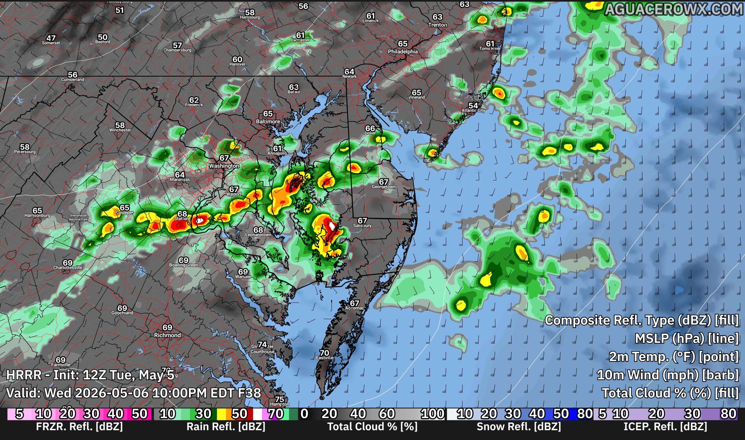
The first system arrives as a cold front approaches from the Great Lakes late Tuesday night, with showers beginning to develop early Wednesday. The steadiest rainfall is expected during the midday hours Wednesday as the front moves into the region. However, the boundary is forecast to stall near or just east of the area, setting the stage for additional development along the coast.

A secondary area of low pressure is expected to form over the Southeast and track northeast along the stalled front toward the Mid-Atlantic coastline. Recent forecast trends have shifted this system slightly farther south and east, which will likely limit rainfall coverage across inland areas. As a result, the highest rain chances, around 50 to 70 percent, are expected across southern and eastern portions of Delmarva and into southern New Jersey. Areas north and west of the Interstate 95 corridor may see more limited coverage, with chances closer to 20 to 40 percent.

Rainfall totals have also trended lower with this shift in track. Most locations are expected to receive around a half inch of rain, with isolated areas potentially approaching one inch. The probability of exceeding one inch has decreased significantly, now generally below 10 percent across most of the region, with only localized higher chances in far southeastern Delmarva and coastal New Jersey.
Despite the presence of multiple systems, atmospheric conditions are not favorable for severe weather. Limited instability is expected, keeping the risk for strong thunderstorms and flooding very low. However, an isolated thunderstorm cannot be ruled out.
Overall, the rainfall is expected to be beneficial, helping to ease dry conditions across parts of the region without bringing hazardous weather.

Looking ahead to the weekend, another weak system may approach on Saturday. This system could bring additional scattered showers, but at this time, it appears to be a minor disturbance with no significant impacts expected beyond a potential interruption to outdoor plans.