


There has been a ton of speculation over social media about “Major Winter Storm Signal Jan 6-8th” and different variations for click bait and cash grabs for views. For many who know me over the last 15 years, I tell it like it is. And many of these social media pages need to keep their anticipation in check. I will go through the good and the bad for snow lovers with all this hype being shared around the internet about this timeframe.
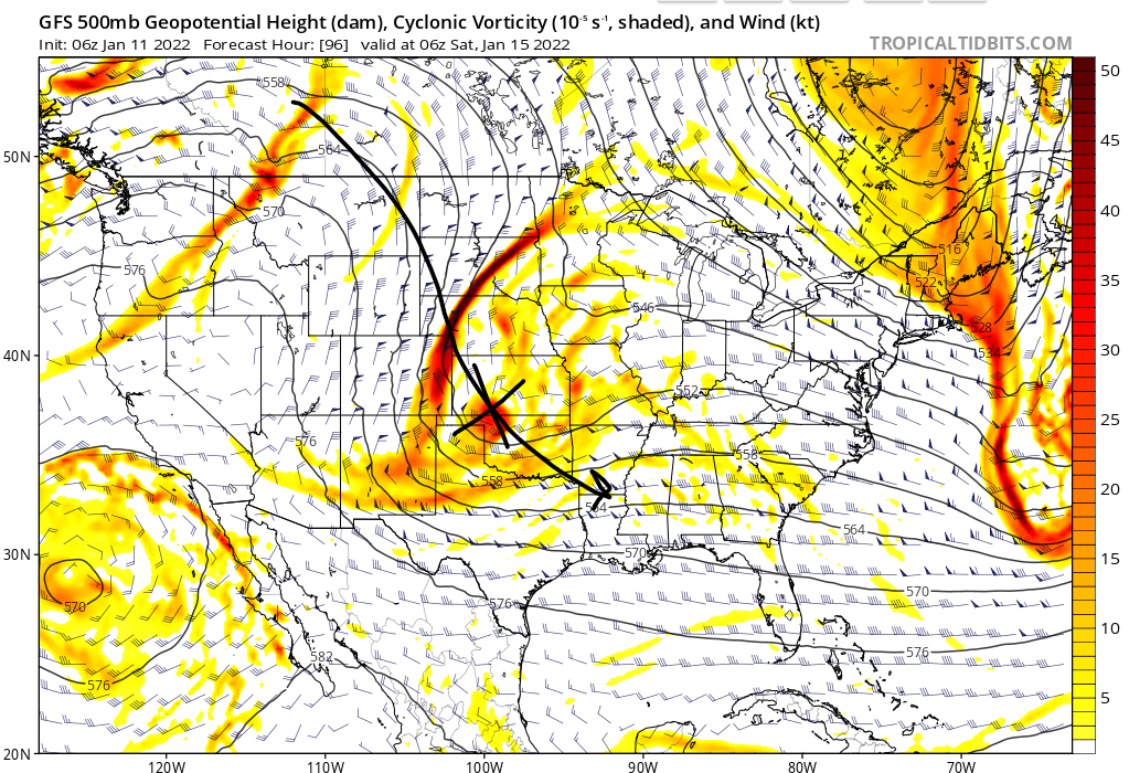
So the big take aways is what’s going on with the North America weather pattern changing a bit from this past week to a more colder one. But the biggest issues that people see on these maps is anytime they see a trough in the east immediately go “MAJOR WINTER SIGNAL, MAJOR STORM AHEAD” but there is so much more that goes into play. Yes we are looking at a trough across the eastern US, that’s only the first step. There is some blocking showing up in the arctic with the ECMWF but much weaker with the GFS. Blocking near Greenland helps slow down the overall weather pattern or for all the technical readers out there a -NAO block. So we have two pieces of the puzzle but there is something way more important in my opinion and its what’s going on the west coast.


And that’s where my excitement starts going down the tubes as a snow lover. We need ridging in the west coast to get the trifecta ingredients. And this is where things start falling short for my liking. Not only that we have polar opposites in guidance between the two major long range models for this range and the placement is not ideal. Ridging along the west coast not only brings the cold air supply with cross polar flow and helps amplify the trough to its east. With this sitting over the Rockies, not the most ideal to get something off our coastlines. I prefer to have it back right at the coast instead but we also have a trough not too far away to the west side. ECMWF is your friend and the GFS is you enemy with the PNA across the west coast. Hard to say which will be correct until one switches as we get closer in time. This is why I have been thinking it’s so dumb to be stating about a storm is happening in this time frame because of the PNA in itself.


One thing is for sure, we are looking to see some colder weather over in our neck of the woods going into the New Year. As temp anomalies over the next 1-2 week showing increasing confidence of “Below Average Temperatures” in the Mid-Atlantic & New England. Moral of the story, hold your excitement for now and be wary of pages that post this kind of hype and 384 hour snowfall maps claiming this is what’s ahead. It’s just not good and its a spreading terrible false information. It’s a cash grab for getting views and traffic for all the wrong reason. Trust your reliable sources friends.